Central, State and Local Government
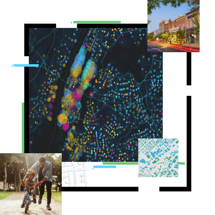
Government uses GIS to improve their workflows and services to citizens.
Learn More
eGovernance
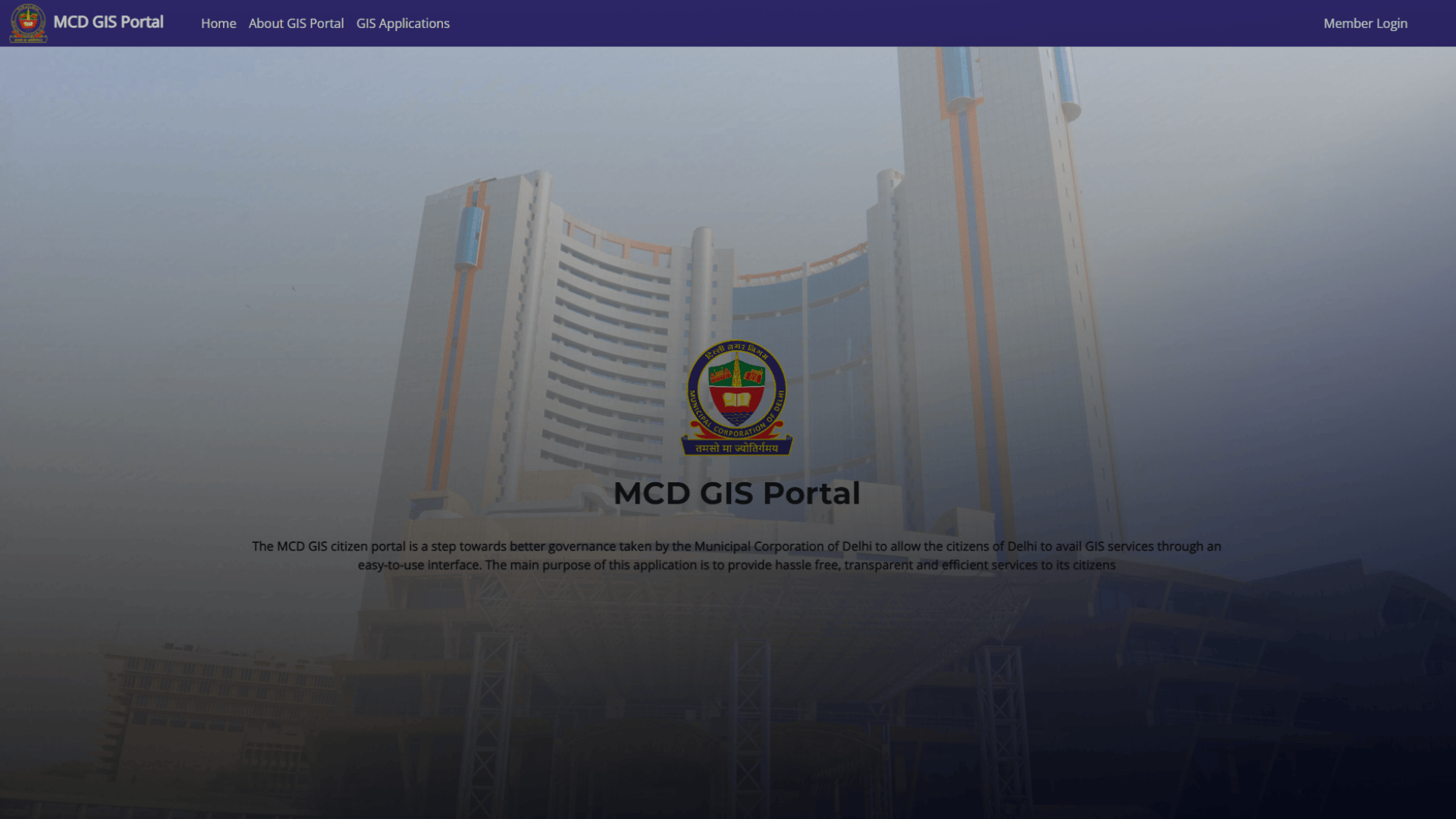
Agencies use GIS for transparent and efficient delivery of services to government, business and citizens
Learn More
Elections & Redistricting
Providing citizens a way to participate in redistricting are just some of the ways GIS improves critical activities.
Learn More
Land Records & Cadastre
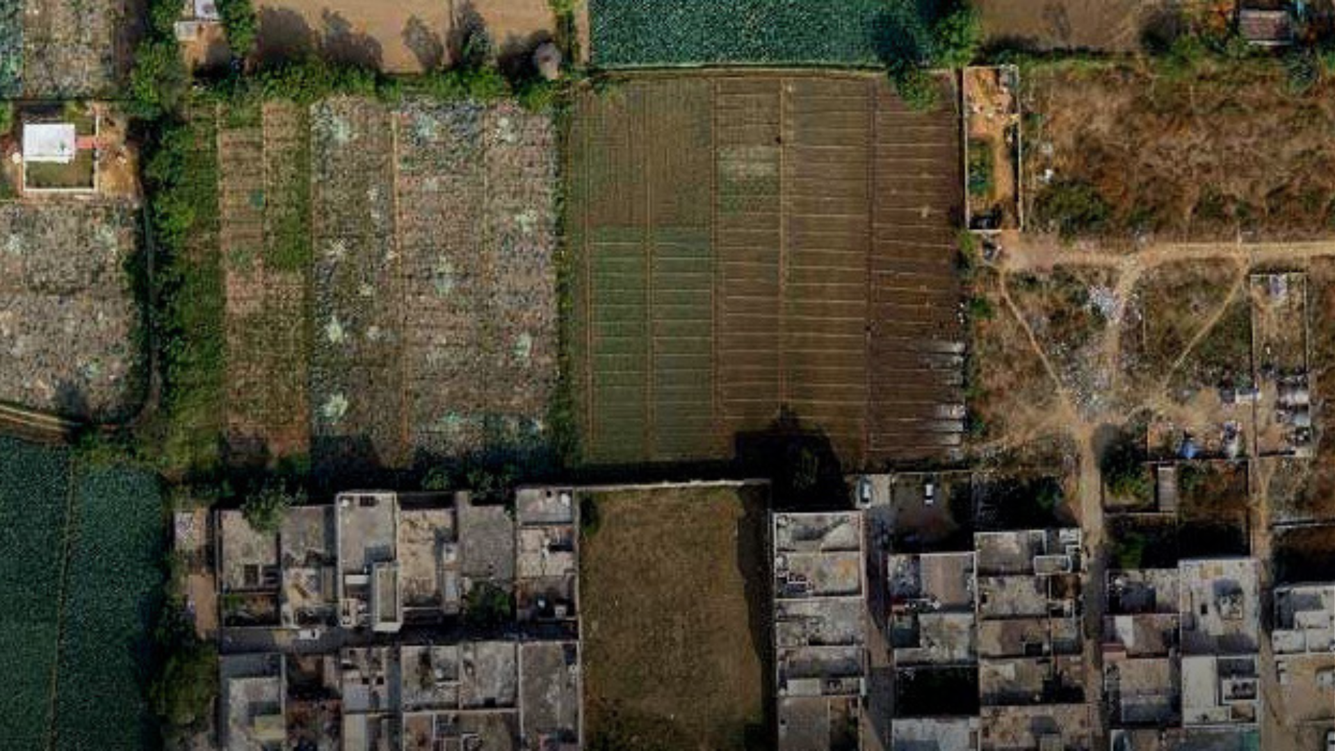
GIS gives organizations an integrated platform for creation, maintenance, and dissemination of land records data.
Learn More
Public Works / Municipal
GIS provides data management and mapping tools for better asset and work order management, planning, and prioritization.
Learn More
Smart Cities
GIS provides an IT framework which integrates every aspect of a smart city – from concept, planning, and development to maintenance.
Learn More
Spatial Data Infrastructure
Private and public organizations use GIS for posting, discovery, and exchange of geographic information resources.
Learn More
Urban & Regional Planning
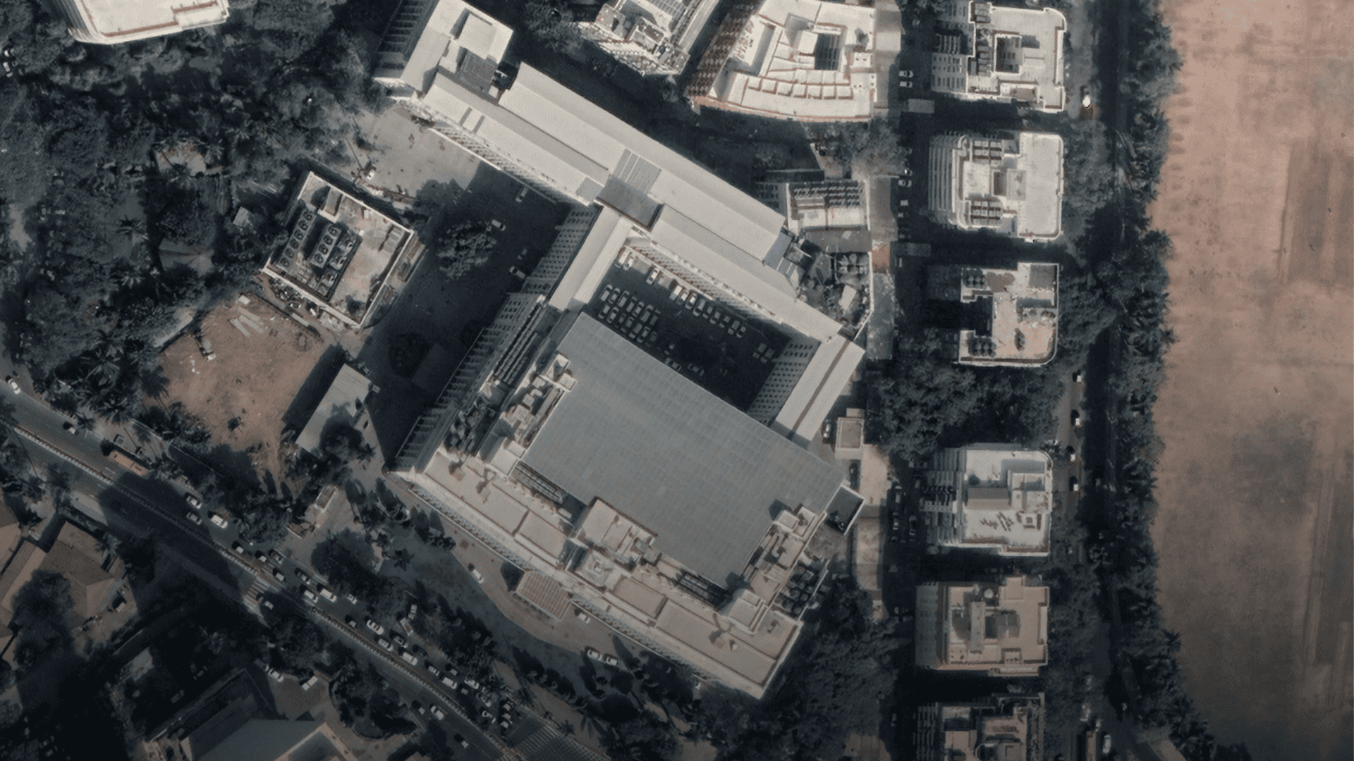
Planners use GIS to create smart, sustainable communities.
Learn More