Skip to Content
lawenforcement

Law Enforcement

Police trust Esri India technology to meet today's challenges and keep our communities safe.

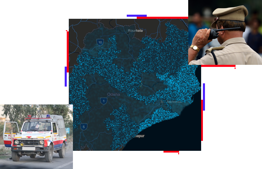
City map and two officers communicating on radios

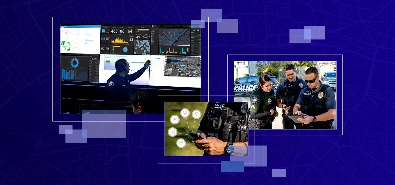
Maps and spatial analysis have long helped police understand where and when crime is occurring so that they can deploy resources more effectively. But today's location-based technology is doing much more. Law enforcement agencies can now use Esri India's GIS-powered maps and apps to support executive decision-making, manage field operations, power real-time situational awareness, and drive community engagement efforts.

Previous
Next

Meet the challenges of policing in today's world

Criminals are finding new ways to engage in illegal activity, the public's expectations of the police have shifted, and law enforcement budgets are limited. In this new environment, police need the latest technology to implement modern crime control strategies, better engage the community, and make the most of limited resources. Esri India is ready to help your agency meet these new challenges with modern GIS technology that supports missions today, with the flexibility to meet challenges that may come tomorrow.

Access the policing ebook

Related public safety industries

Previous
Next

Request a demo


Please fill out your details below for us to contact you for the demo.

Get in touch with us

Email Us

Write to us at info@esri.in

Start Email

Call Us

Talk to us over the phone

1800-102-1918