Forest Planning
Use predictive modeling and analytics to map a forest's future relative to alternative management strategies.

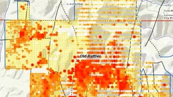
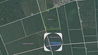
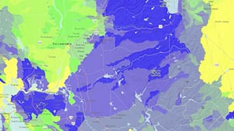
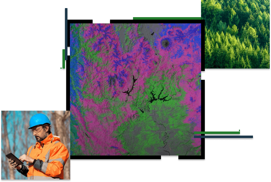
Maximize the value of assets, reduce costs, and improve forest management with solutions for data collection, map analytics, and remote sensing. With ArcGIS software, empower decision-makers, fieldworkers, and consultants to strengthen investment and natural resource management. Assess forest conditions through historical analysis, stand inventory, soil types, changing weather patterns and land-use practices.
Transform your data into maps & actionable information with ArcGIS Pro, Esri’s flagship desktop GIS application.
Improve operational efficiencies in field workforce activities.
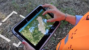
Turning drone collections into authoritative images and 3D models, in minutes.
Presented by ideaForge & Esri India
In this webinar presented by ideaForge and Esri India, you will learn how a seamlessly integrated Drone-GIS solution provides unparalleled insights into forest resource/ inventory, health, security, and operations.

Improve operational efficiency with mapping and spatial analysis. Use ArcGIS to achieve goals and compliance while mitigating environmental impacts.
Please fill out your details below for us to contact you for the demo.
Write to us at info@esri.in
Talk to us over the phone