Respond to the pandemic
Maps and analyses provide a common frame of reference and integrate all types of relevant data. Maps can aid better visualization, understanding, and response planning for decision makers in a rapidly changing environment.

Maps, solutions, and resources
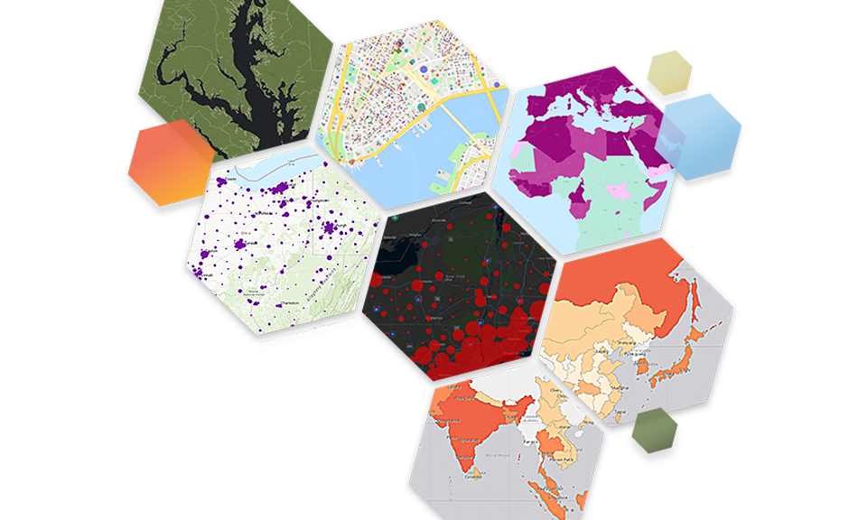
Location intelligence changes the fight against coronavirus disease 2019 (COVID-19). Maps and geographic information systems (GIS) provide valuable insights to help organizations respond to the crisis, maintain continuity of operations, and support the process of reopening.
Access tools for business continuity and risk management that help organizations improve operational awareness for COVID-19.
Access tools and GIS solutions to help governments and public health officials map, understand, and respond to COVID-19.
Use and share these resources to help your community or organization respond effectively.

Explore geospatial data sourced from the global GIS community and our trusted partners to visualize and analyze the virus in the context of a map.
Get dataFind ready-to-use apps and dashboards that immediately aid better understanding and decision-making around COVID-19 in your community or organization.
View apps and dashboardsExplore best practices, how-to articles, and curated educational and training materials to develop GIS skills relevant to COVID-19.
View learning resourcesDownload GIS-ready solutions and surge models to assist with capacity planning and response around COVID-19
View solutions and resourcesJoin with others in the GIS community to connect, collaborate, and share best practices. Ask questions or offer your expertise in the COVID-19 GeoNet Community.