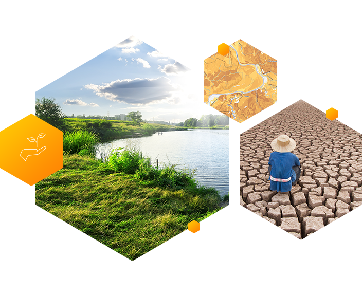
Skip to Content

Conservation

Respond to ecological crises and restore biodiversity faster
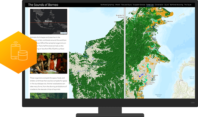
Human Elephant Conflict in Mysore Forest Division

The storymap explores the human-elephant conflict which is one of the central conservation issues across Asian elephant habitats in India.

View Storymap

SUCCESS STORY

National Audubon Society

Using Esri technology to collect and manage its data, the National Audubon Society completed a comprehensive survey of protected bird species in the state of Washington.

SUCCESS STORY

National Audubon Society

Using Esri technology to collect and manage its data, the National Audubon Society completed a comprehensive survey of protected bird species in the state of Washington.

A platform for conservation

Esri’s ArcGIS platform provides the data and analytics you need to execute informed conservation plans. Use authoritative data and sophisticated analytics to understand and better protect any biodiverse environment.

Collect data

ArcGIS apps help you gather environmental data and respond more quickly to areas in need of remediation. Leverage the ability to observe, measure, and monitor your area of study with more detail and greater precision than you ever thought possible.
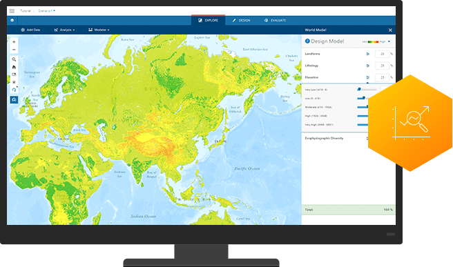
Predict the future

ArcGIS provides the modeling tools to analyze data, visualize patterns, and better understand complex systems. Compare present conditions with the past to make authoritative predictions.
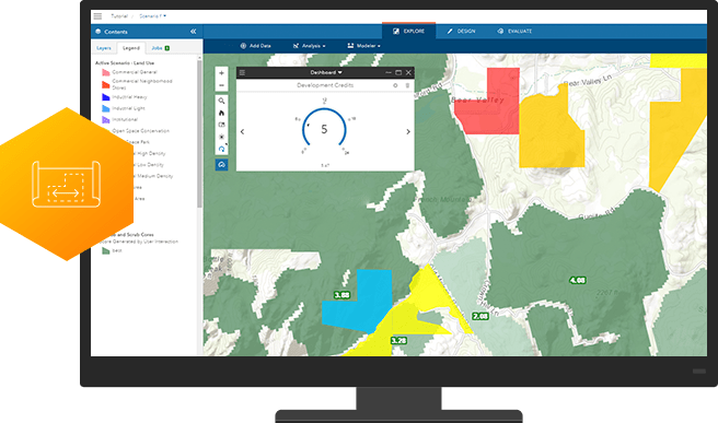
Plan to protect

ArcGIS empowers stakeholders with decision support tools to visualize possible outcomes and share information with all stakeholders. Create a strategic plan to meet your conservation goals faster. 

Advocate

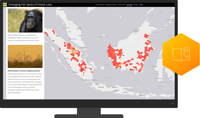
With visual platforms like Story Maps, you can tell your conservation story in context with maps and media that describe your cause. Inspire others to understand your cause and take action.

ARTICLE

Bringing more harmony with GIS

GIS brings numerous benefits to every industry and aspect of life, and conservation planning is no exception. From identifying risk prone areas to spotting high priority areas where immediate action needs to be taken, the benefits of using GIS in forest management and conservation planning are limitless.

Read More

Find out how Esri India can help your organization

Get started

Connect with Esri India