Analytics
Make sense of large datasets by applying various modeling, statistical, and visualization techniques. Turn data into actionable information.
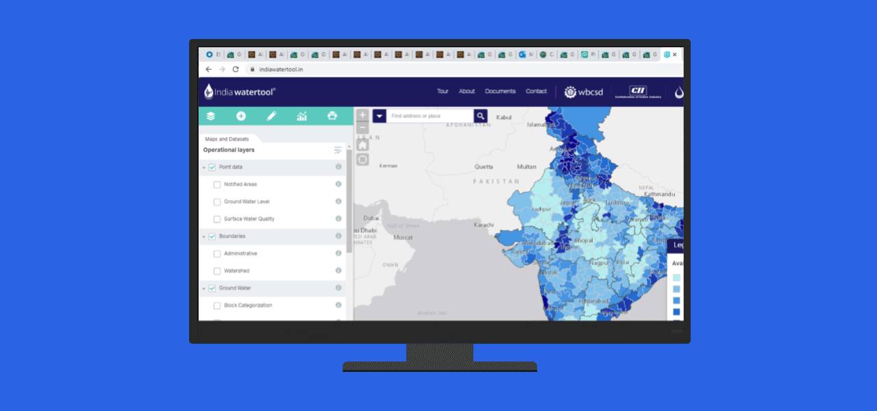
Water can only be sustainably managed if data with an appropriate level of granularity is made available publicly in a format usable to all stakeholders. India Water Tool 3.0 (IWT3.0) does all of this, while encouraging stakeholders to take action, whether at national, watershed or facility level. It will be a critical element of strengthening water management in India both now and in the future.
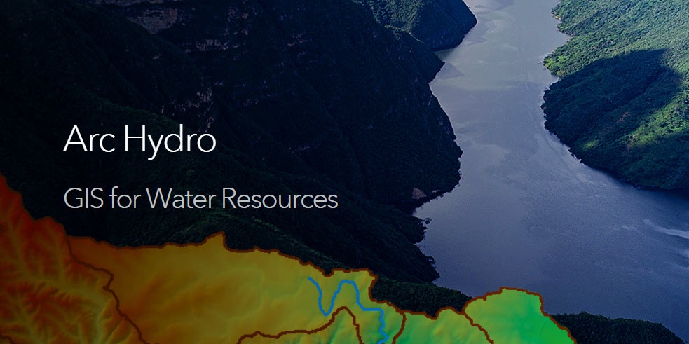
Esri's Arc Hydro consists of a data model, toolset, and workflows developed over the years to support specific GIS implementations in water resources.
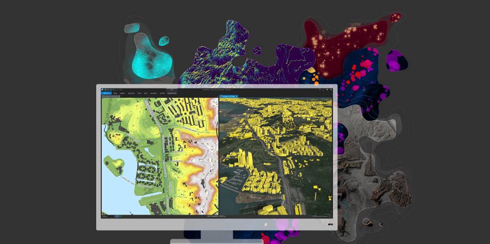
Transform your data into maps & actionable information with ArcGIS Pro, Esri’s flagship desktop GIS application.
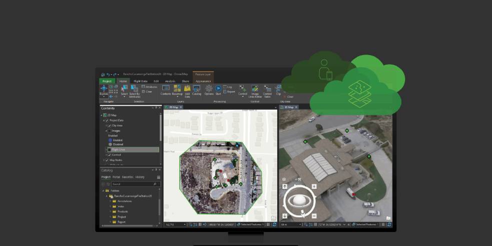
Turning drone collections into authoritative images and 3D models, in minutes.
Please fill out your details below for us to contact you for the demo.
Write to us at info@esri.in
Talk to us over the phone