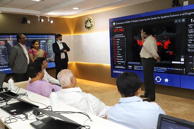
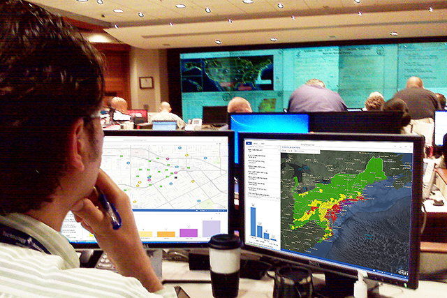
Skip to Content
Emergency Management Image

Emergency Management

Actionable Intelligence for Your Emergency Missions

Request assistance →

Integrate, Analyze and Disseminate Data

With location intelligence and disaster management solutions from Esri, you'll develop a deeper understanding of risk in the new normal and maintain real-time data insights to help you anticipate your next move with better decision making.

SOLUTION SHOWCASE

Esri’s Solution for Emergency Management Operations

Esri's Emergency Management Operations Solution is a fully integrated system that allows you, your team, and unlimited partner agencies to maintain shared situational awareness at all points during a response. With real-time data feeds continuously updating configurable, cloud-based dashboards and maps, your teams' data becomes instantly available to inform the public and guide your mission-critical decisions at the same time.

Prepare

The frequency and intensity of emergencies today are unlike anything seen before. Historic data alone won't shed light on how to prepare for future events. To effectively plan, mitigate, and reduce risks, emergency management professionals must incorporate real-time data, big data, and other critical data feeds into their analysis. Data-driven insights help communities effectively prepare for worst-case scenarios. Esri provides emergency management solution for visualizing and analyzing risk, modeling and designing mitigation projects, and communicating with the whole community to build resilience from the ground. Emergency preparedness requires insight. Using GIS maps to make the right data-driven decisions in the face of the new normal can help emergency responders save lives and property.

professional services and training

Respond

In today's new normal, emergency management professionals must become more agile and informed at all points during response efforts. Successfully planning for and responding to growing threats requires agility and effective communication throughout an event. Esri provides you with an integrated emergency management solution to support mission-critical decisions with a set of real-time tools designed to help you maintain situational and operational awareness; quickly analyze incident impact; assess damage; deploy needed resources; and educate, inform, and warn the public with GIS maps built to scale.

professional services and training

Recover

Recovery efforts can take years, and it's critical to avoid missteps that delay progress. It's essential to provide emergency management professionals with tools to prioritize work and deliver on recovery efforts. Esri provides you with a set of location intelligence tools designed to help you document and manage the situation, plan and distribute resources where they are needed most for the community, and monitor and evaluate your recovery indicators while providing transparency when it is needed the most.

professional services and training

Case Studies & Resouces

  • KSNDMC

    KSNDMC

    Karnataka State Natural Disaster Monitoring Centre (KSNDMC) is a common platform for various response players in the area of natural disaster management. The centre provides real-time weather related information, forecasts, early warning and advisories for management of natural disasters in the state.

  • BBMP

    BBMP

    Esri's COVID-19 has thrust city and district administrations into uncharted territories. With the novel coronavirus disease 2019 (COVID-19) attacking societies at their core, ‘war-rooms’ are now mushrooming across the country, using heat-mapping and predictive analytics to detect the disease’s movement in real-time.

  • Actionable Intelligence For Your Emergency Missions

    Actionable Intelligence For Your Emergency Missions

    Every second counts when it comes to protecting lives. During such life-altering scenarios, CAD (Computer Aided Dispatch) technology provides an automated way of keeping a track of incidents and clearly communicating in real-time. CAD technology is specifically designed to meet with the fast-paced emergency environment.

Previous
Next

Request a demo


Please fill out your details below for us to contact you for the demo.

Disaster Response Program

If you need GIS software or support for your current disaster response, please request assistance by completing the form. All requests should be fully justified and are subject to approval.

Get help now

Request assistance

Or, write to our DRP team at

covid19support@esri.in

Find out how Esri India can help your organization

Get Started