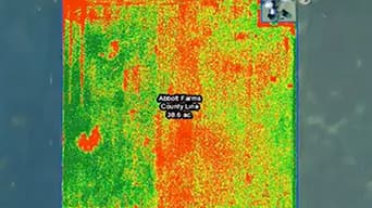
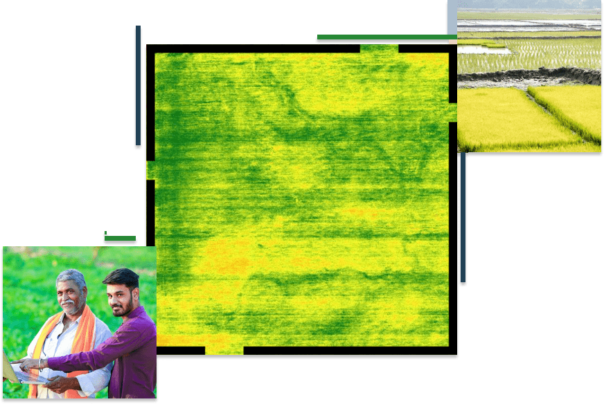
Drone imagery analytics
Use drone imagery to rapidly create actionable maps for fields.

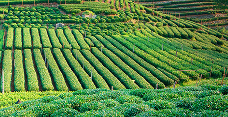
Integrating high-resolution imagery, field data collection, and real-time data feeds to understand how to make the most of your limited resources for sustainable agriculture. Esri technology allows you to collect, maintain, and analyze all of your agriculture field data in one centralized system.
FEATURED STORY
GIS holds the key to viable solutions for agriculture at a time when a host of factors, including climate change and urbanisation, emerge as real and present threats to feeding the world.
Ready-to-use maps give more context to exploration and production workflows.
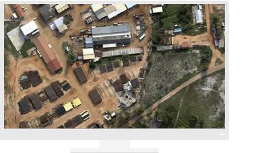
Turning drone collections into authoritative images and 3D models, in minutes.
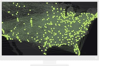
Answer difficult questions—the kind that involve large volumes of data—in minutes or hours instead of days or weeks.
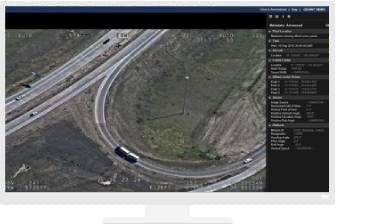
Improve operational efficiency with mapping and spatial analysis. Use ArcGIS to achieve goals and compliance while mitigating environmental impacts.
Please fill out your details below for us to contact you for the demo.
Write to us at info@esri.in
Talk to us over the phone