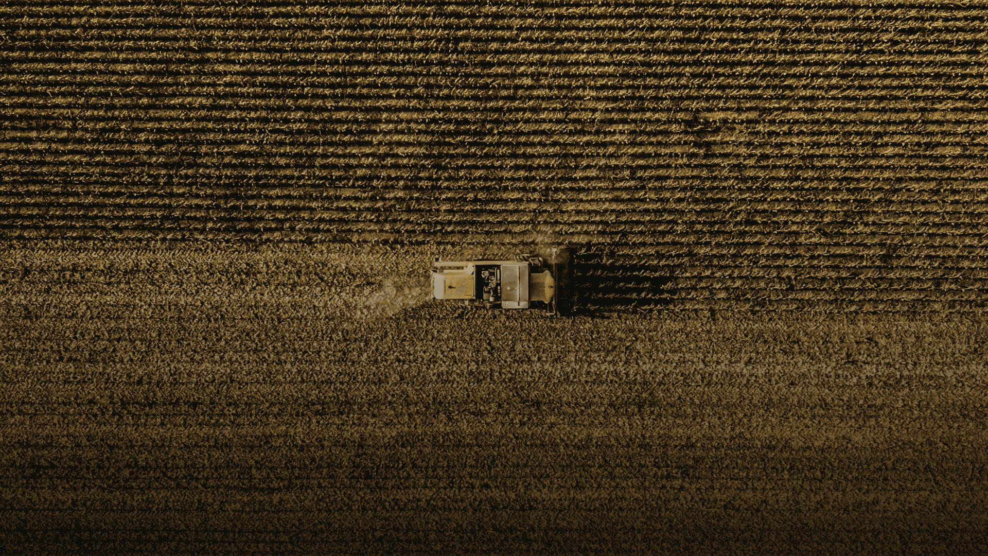
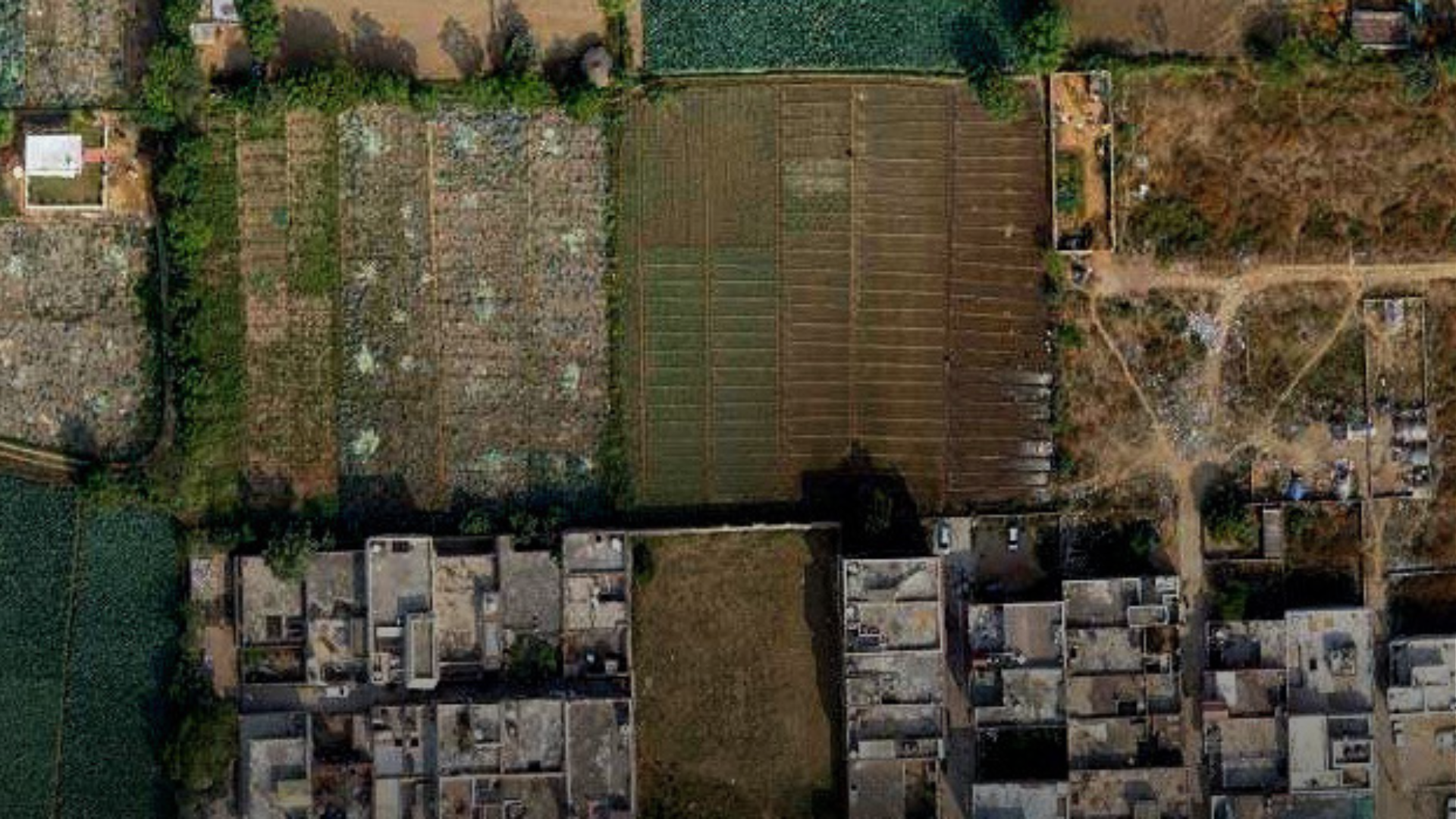
Skip to Content

State and Local Government

Propel your community forward. Remain agile. Meet new challenges.

Person helping a child ride a bike, dark map with brightly colored dots and regions, a building, and map with shaded areas

A geographic information system (GIS) shapes state and local government processes, workflows, policies, and engagement with citizens. GIS provides a means to question how we can constantly improve our environment; infrastructure; safety; health; economies; planning; engineering; and, ultimately, our world. 


Advancements in GIS are helping governments modernize operations, gain new perspective on the balance between natural and built environments, and create equitable and inclusive policies. GIS is a mapping platform for agile government and a tool to guide sustainable communities.

Success Story

GIS data driven decision-making for a smarter city

GIS enabled Varanasi Smart City SPV to integrate city’s locational data and IoT sensor data over GIS base maps and derive real time analytics enforcing efficient decision-making on city management and its operations.

Read More

Find out how Esri India can help your organization

Get started

Connect with Esri India