National Government
Enhance quality of life with proven location-based technology

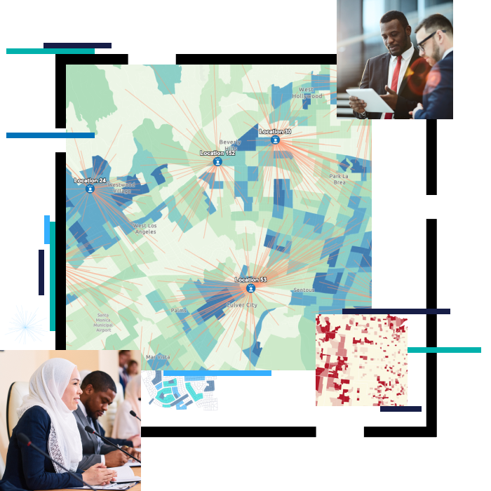
National governments use geographic information system (GIS) technology to manage programs and evaluate policy outcomes. With GIS, agency staff and leaders integrate diverse types of data to derive understanding, operationalize solutions, communicate insights, and engage stakeholders and the public.
Using GIS to incorporate location intelligence into high-level decision-making provides powerful insights on critical issues the nation faces, and supports science- and analysis-based policy making.
National government industries
Select your discipline to see how Esri technology can help you.
-
-
Airports
-
Conservation
-
Defense
-
Earth Sciences
-
Environment & Forest
-
e-Governance
-
Elections
-
Emergency Management
-
Health
-
Land Administration and Land Records
-
Mining
-
National Mapping
-
Official Statistics
-
Sustainability
-
Transportation
-
Utilities
-
Urban Development
-
Water
Smart Cities
Use the power of location intelligence to strengthen the six core objectives of an optimized smart city.
Esri Disaster Response Program (DRP)
This program provides GIS software, technical support, services, and data during your community's time of need.
COVID-19
Find guidance and support for response, business continuity, and reopening.
FEATURE
Building a resilient nation with GIS
Resilient nations “Prepare Strategically, Respond Rapidly and Recover Methodically” during the crisis times and return to normal as effortlessly as possible. Undoubtedly, geospatial technologies are playing a critical role in helping these nations, leaders, and communities to build a higher degree adaptability to bounce back.
Success Story
DFS uses GIS for driving financial inclusion goals
The Department of Financial Services (DFS), Ministry of Finance, Government of India used ArcGIS to take more concrete steps towards financial inclusion.
Success Story
GIS simplifies forest land diversion decisions
GIS helps in study and analysis of several critical environmental factors such as forest type, forest cover, landscape integrity, biological richness, and protected areas, among others.
Success Story
NDDB drives farmer inclusion using GIS
National Dairy Development Board (NDDB) uses GIS for dairy planning and identifying new locations for milk collection centres.