Infrastructure
From daily inspections to tracking pavement conditions, get the most out of your assets at the lowest cost.
Meet the industry standard for data quality. ArcGIS for Aviation: Airports supports compliance by improving operations and automating tasks.
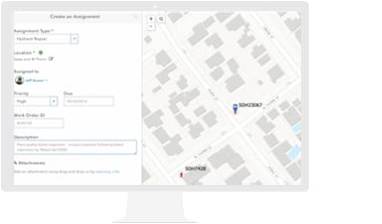
Mobile GIS updates your asset database from inspectors' devices in the field.
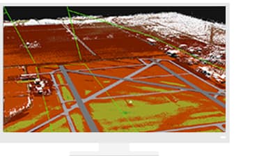
Monitor—and optimize—surface movements in real time.
Use the power of GIS for greater insight and operational performance
Please fill out your details below for us to contact you for the demo.
Write to us at info@esri.in
Talk to us over the phone