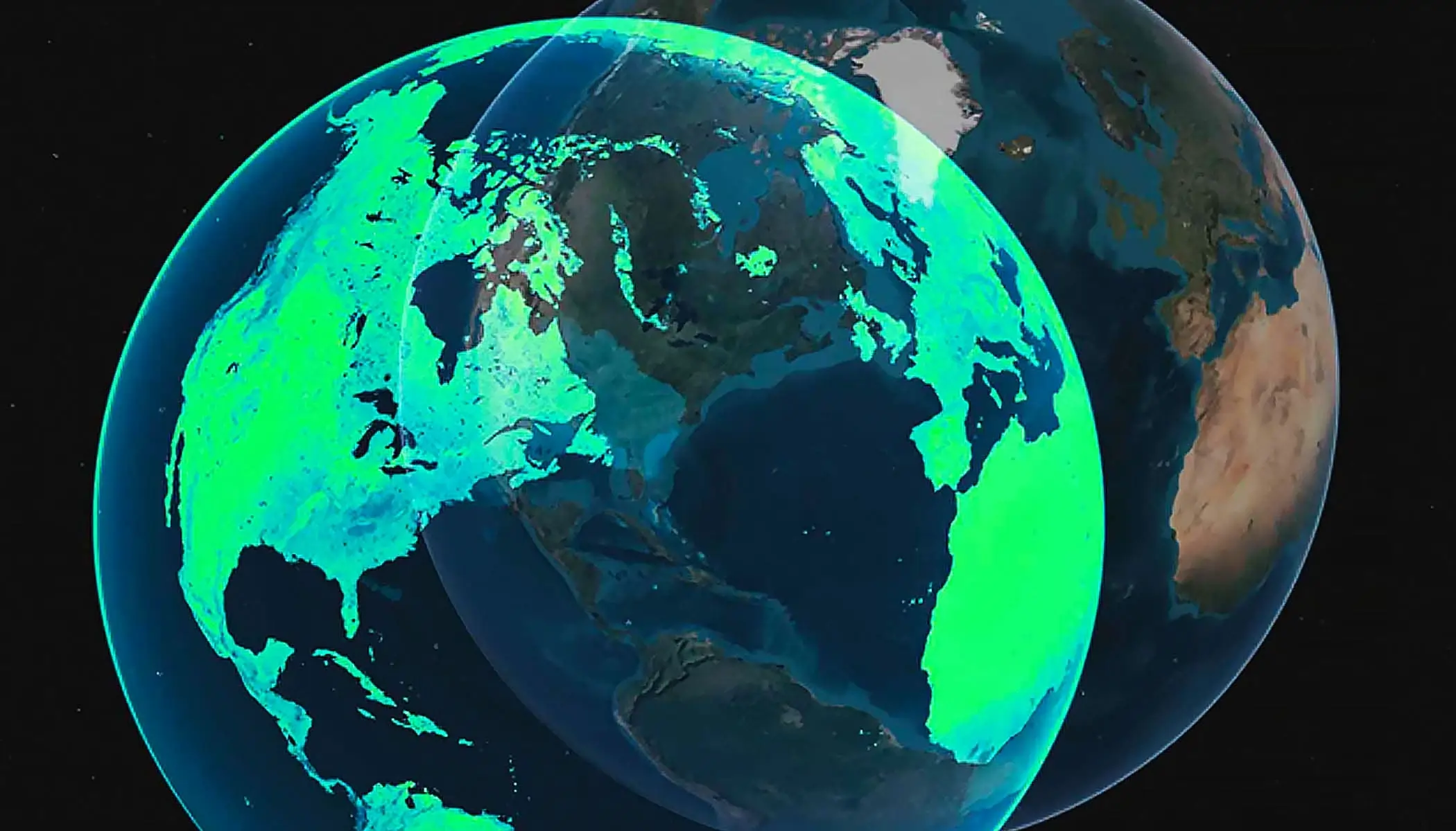
What is GIS?
Discover geographic information system (GIS) technology
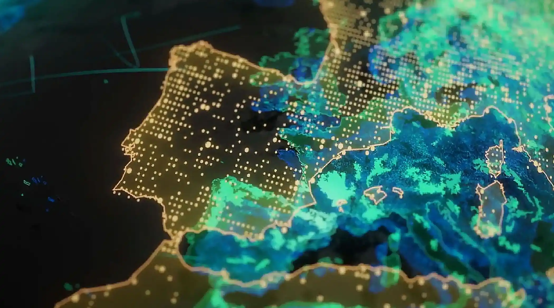
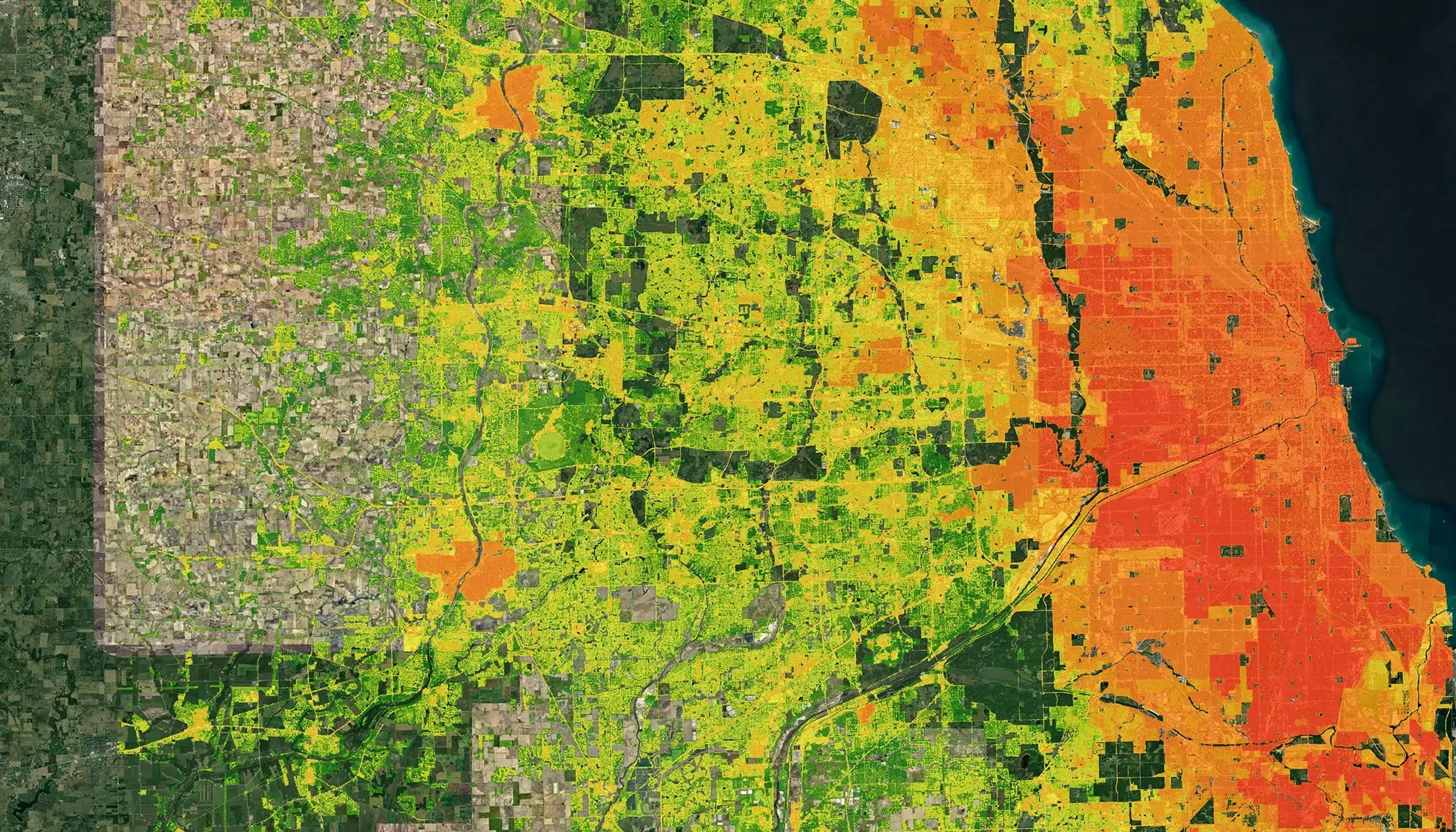
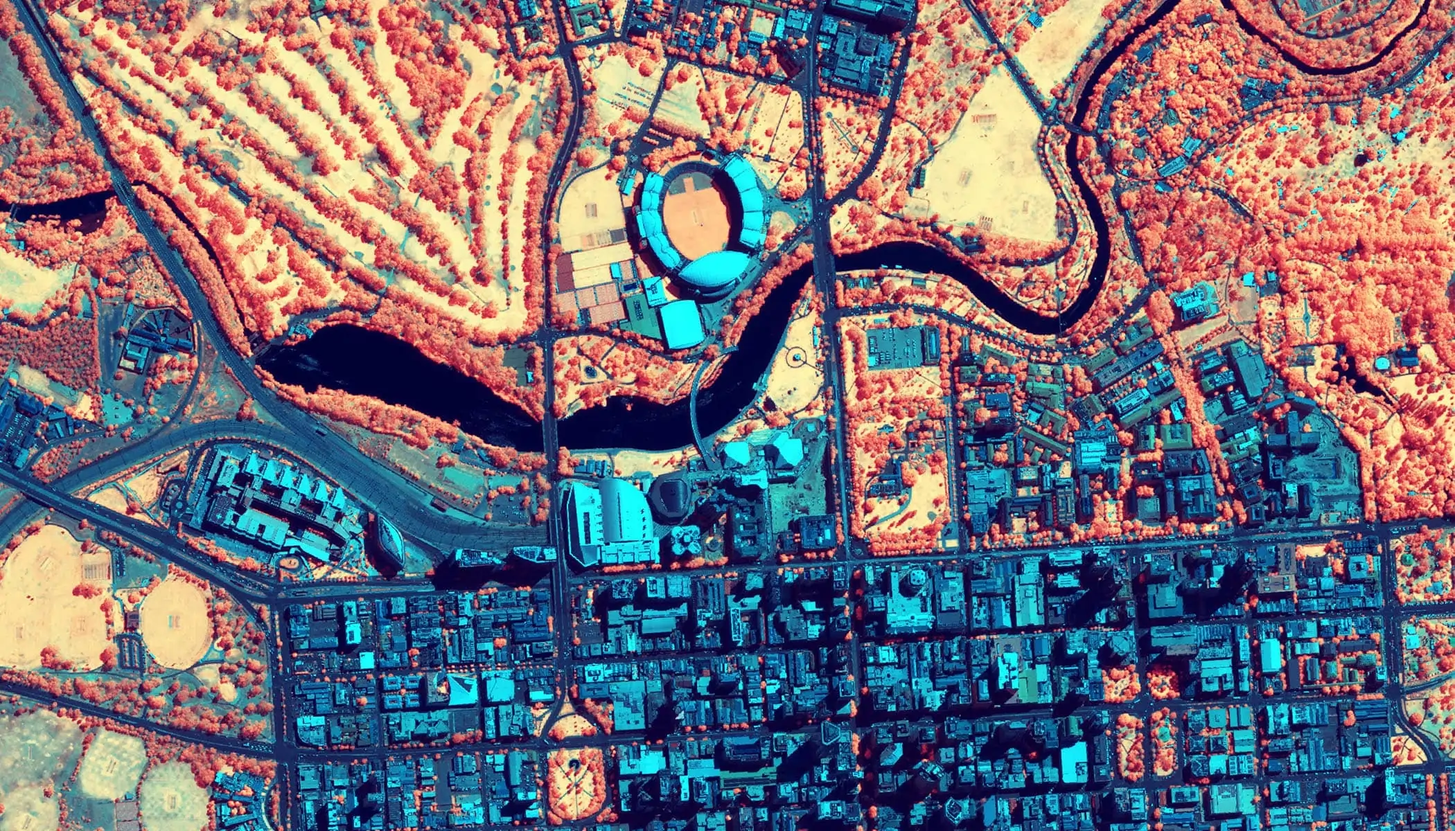
Leading organizations in virtually every field use Esri technology to support daily operations and guide long-term strategies. Explore stories of organizations innovating with ArcGIS.
Space
AGiSAC works to identify decision-making applications with the help of user departments and provides tailor-made GIS solutions for better decision-making in government departments using ArcGIS.

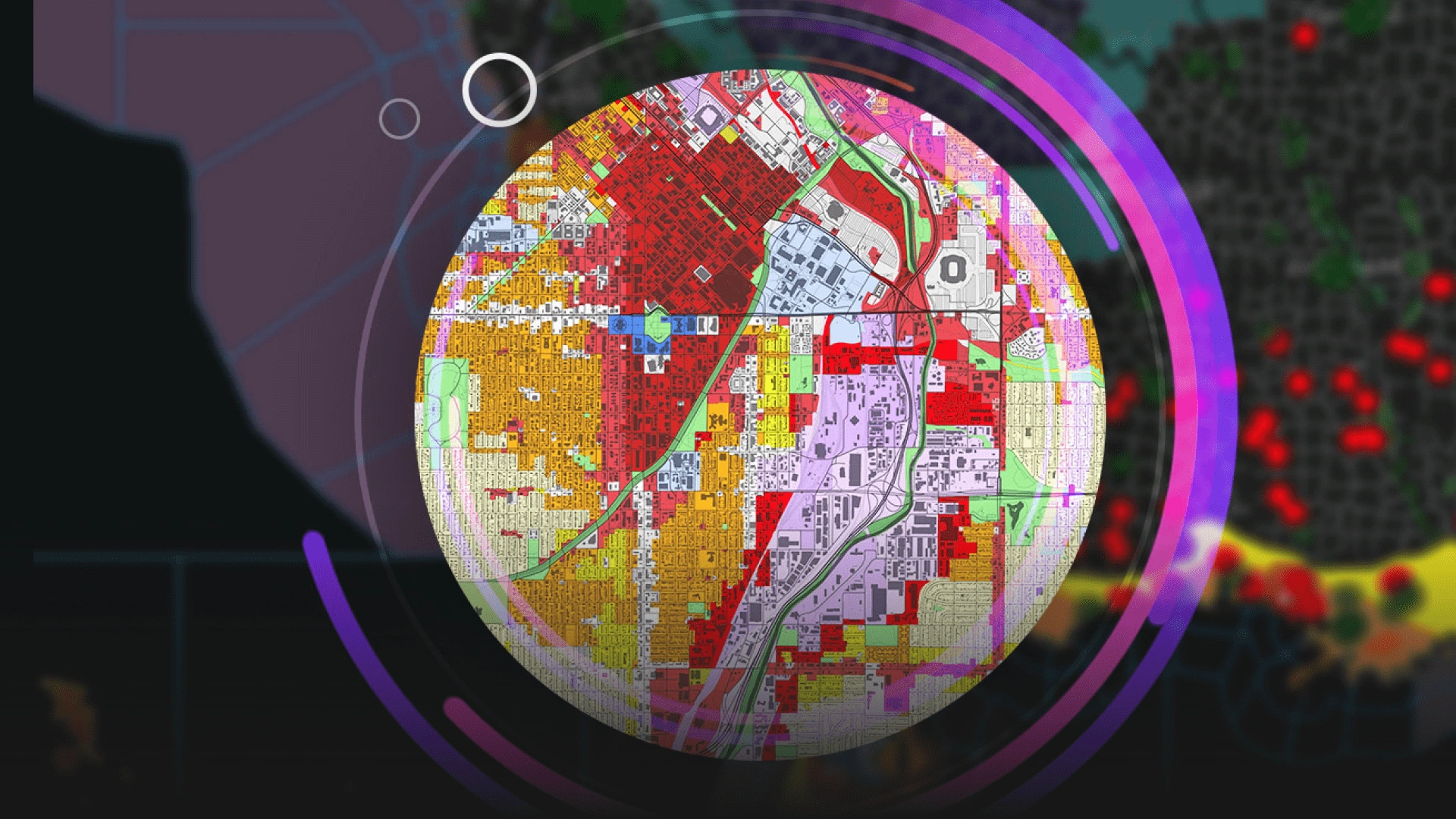
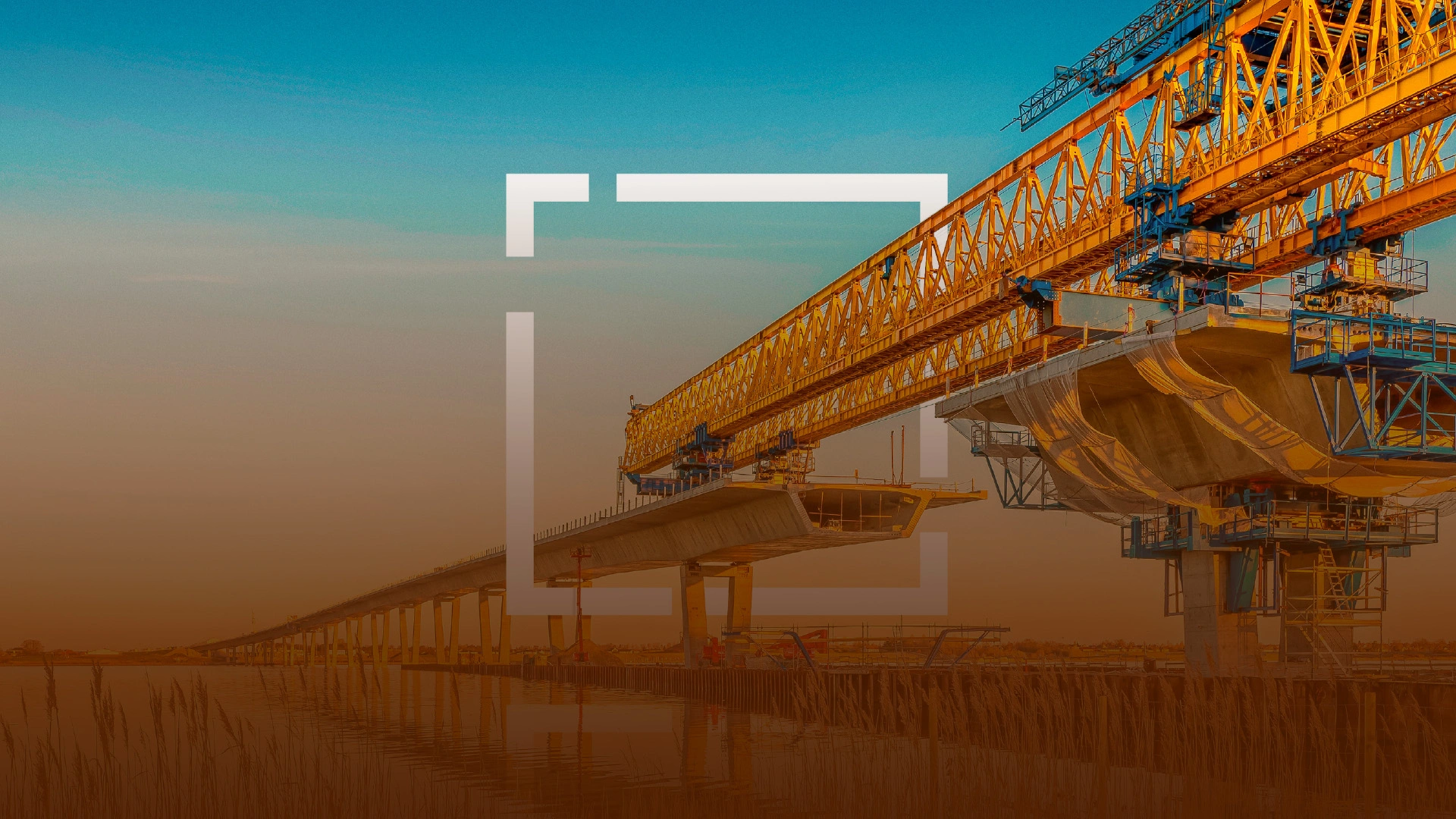
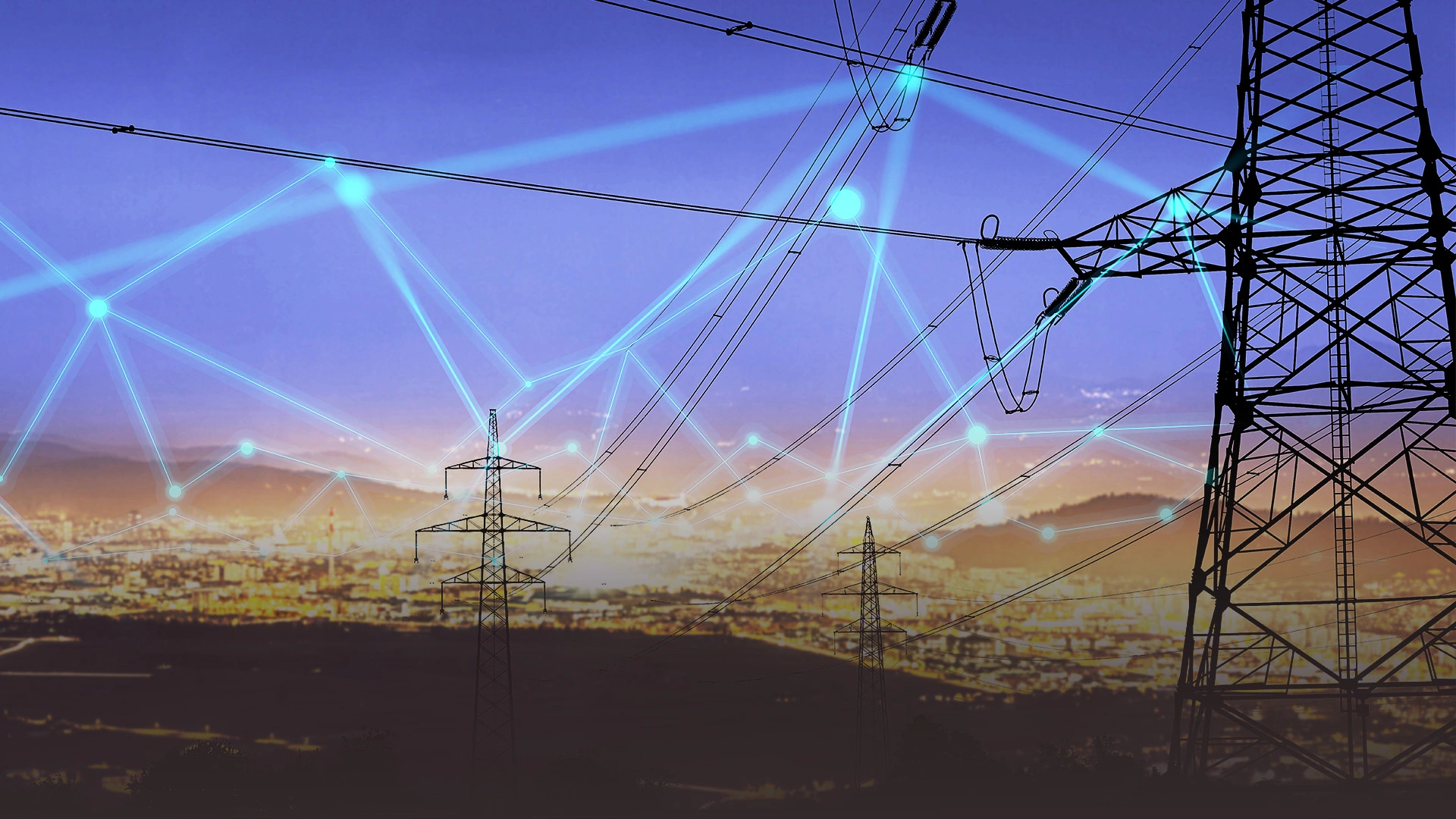
Electric Utility Network
Sterlite Power, which is a leading global developer of power transmission infrastructure with about 25 projects spanning ~13,700 circuit kms in India and Brazil recognized this need to expedite the development of transmission projects to evacuate power from renewable energy projects and focused on developing solutions that could help it achieve the same. It collaborated with Esri India to develop a first-of-its-kind integrated GIS Ecosystem for powerline route planning and finalization.

Infrastructure
Esri India partnered with JNPA to build a scalable geospatial framework that could map, manage, and analyze the port and township infrastructure more effectively. The initiative began with mapping electric meter boxes spread across the port and township areas and expanded to integrate land allotment data, utility networks, and field-based inspection tools—all within the ArcGIS Enterprise ecosystem.

Natural Resource Mining
Tata Steel transformed mining water and environmental management using ArcGIS Pro and GeoAI solutions from Esri India, enabling faster analysis, smarter monitoring, and sustainable decision-making.

Water Quality Management
Namami Gange is running PRAYAG (Platform for Real-time Analysis of Yamuna, Ganga & their Tributaries) for Monitoring, review, and accountability measures. PRAYAG is a collaborative Platform to access Information, Data Maps, Apps & Dashboards for Ganga Basin.

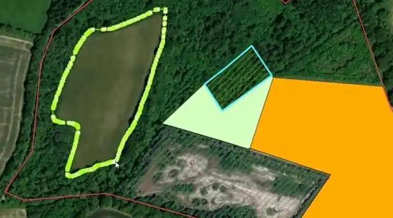
Agriculture
Haryana Space Applications Centre (HARSAC) has developed and deployed a Geospatial Technology-based Crop Management Solution to address challenges in agricultural management. This solution empowers farmers, enhances transparency, and strengthens agricultural reforms in Haryana.

Telecom
It’s a mission to bridge the digital divide. Since launching in 2016, Jio set out with a bold vision: to empower every Indian with affordable access to digital life through world-class technology.

Road Network Analysis
The Road Network Analysis helped in finding the best route to healthcare facilities among the four possible routes. Network connectivity can explain significant variance in the spatial pattern of the network structure.
Leverage the power of GIS to drive innovation and efficiency in your industry, with our industry-specific products and solutions.
Product releases, upcoming events, partnerships, and more