Skip to Content

Imagery & Remote Sensing

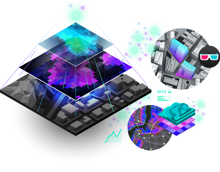
Understand the world with ArcGIS

Turn Earth observations into powerful insights

Fuel business decisions with proactive insights

Powered by the Esri Geospatial Cloud for better analysis, management, and organization-wide collaboration. With imagery and remote sensing data feeds included in the best-in-class location-based intelligence software, timely data-driven answers are possible for your business.

IMAGES IN ARCGIS

One platform to address local to global challenges

Drone, aircraft, and satellite deployed sensors provide views of our planet from every possible vantage point, creating massive volumes of untapped information. Leverage the power of the Esri Geospatial Cloud to transform decision-making.

Flexible deployment

Deploy on workstations, the cloud, or across your enterprise. ArcGIS has a solution to meet your needs.

One workstation

Powerful ArcGIS

  • Powerful image management

  • Advanced visualization

  • Accessible image collections

  • On-the-fly processing

Enterprise enabled

Scalable and secure

  • Local or cloud environments

  • Complex image analysis workflows

  • Automated data management

  • Flexible scalability licensing

Learn about ArcGIS Enterprise

Cloud ready

Web image analysis gateway

  • Authoring and sharing

  • World's largest imagery collection

  • Spatial analysis in the cloud

  • Scalable managed services

Learn more about SaaS

Earth observations provide understanding

Explore the ArcGIS Imagery Bookwhich provides a wealth of images, powerful apps, maps, exercises, and tutorials along with trial software that weave interesting stories about how imagery helps us understand our planet and the issues we face.

Read it for free

Get in touch with us

Product Information

Get answers for your product, industry or technical inquiries

Request Product Information

Contact Us

Share your details with us

Contact Esri India

Give us a call

Talk over the phone

1800-102-1918