Maps
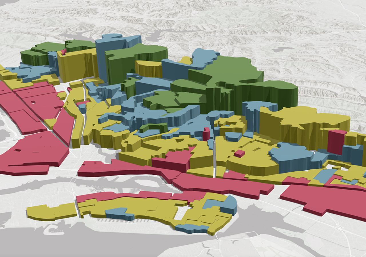
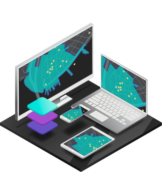
Maps are the geographic container for the data layers and analytics you want to work with. GIS maps are easily shared and embedded in apps, and accessible by virtually everyone, everywhere.
A framework to organise, communicate and understand the science of our world
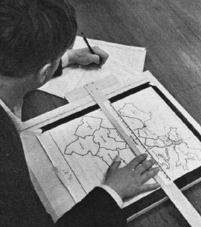
While the concept of spatial representation stretches back to early civilizations with maps and drawings, the modern era of GIS began in the 1960s with the rise of computers. Pioneering projects like Canada's CGIS laid the groundwork for capturing, storing, analysing, and visualising geographic data. Early GIS was expensive and complex, but advancements in the 1990s with user-friendly software, processing power, and remote sensing data integration led to wider adoption. Today, GIS is a cornerstone for numerous fields, and the future holds promise for even more sophisticated analysis, real-time data integration, and powerful decision-making tools through advancements in AI and machine learning.
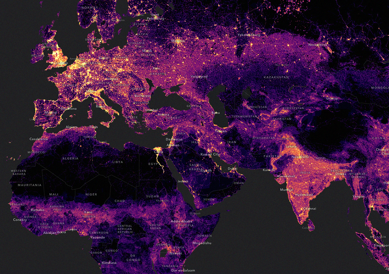
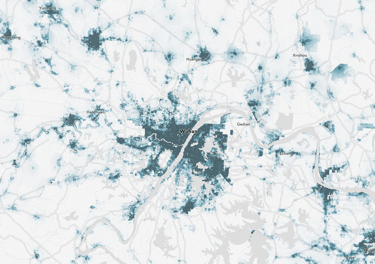
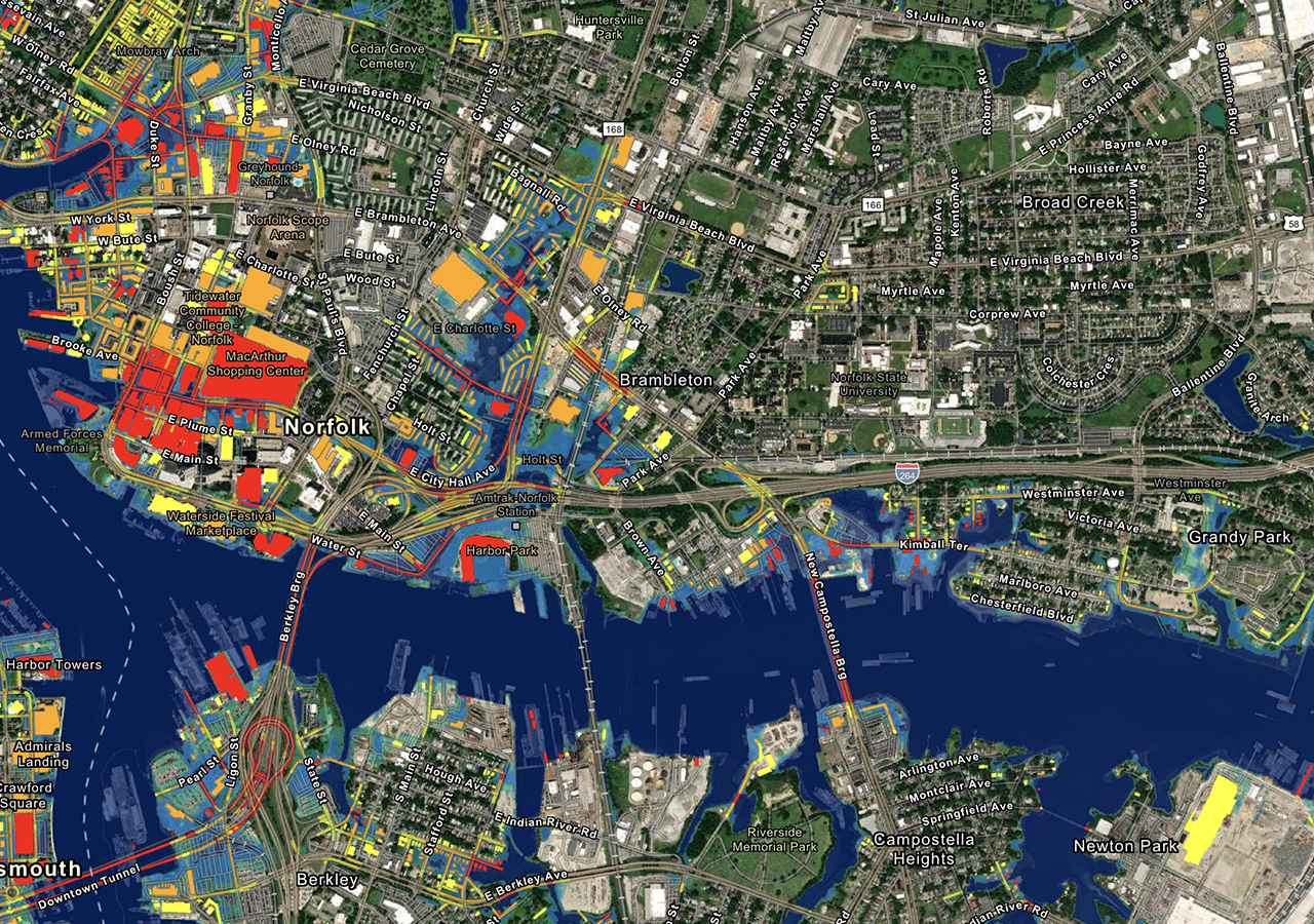
Hundreds of thousands of organizations in virtually every field are using GIS to make maps that communicate, perform analysis, share information, and solve complex problems around the world. This is changing the way the world works.
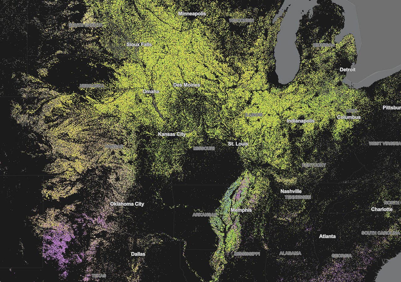
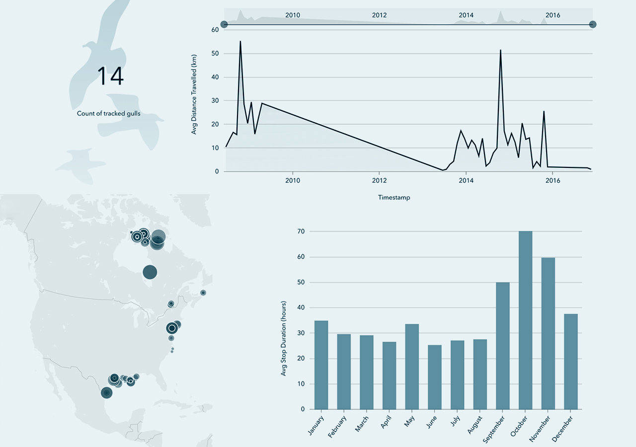
GIS technology applies geographic science with tools for understanding and collaboration. It helps people reach a common goal: to gain actionable intelligence from all types of data.
Get answers for your product, industry or technical inquiries
Share your details with us
Talk over the phone