Innovation in the built environment
- Planning for Sustainability
- Digital Twin
- GIS & BIM
- Environmental Management
- Mobile Working
Planning for Sustainability
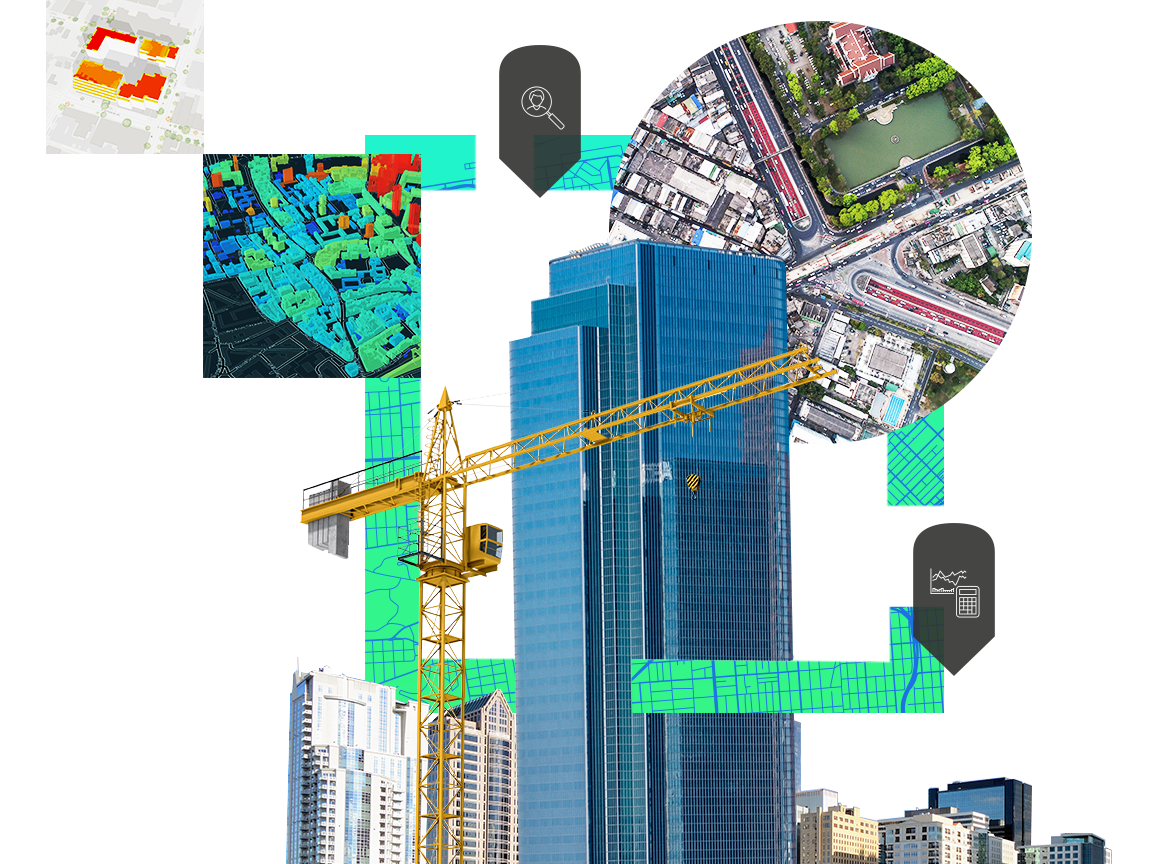
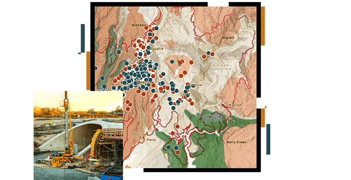
Communities are complex and continually evolving. City planners face pressures such as population growth, climate change, migratory and age-based demographic change, and the push to be competitive in a global environment. As they work to better understand projects in terms of the impact on places and people, planners can use smart maps and spatial analysis. This approach empowers proactive, informed decisions that support resilient and sustainable communities, cities and towns - and their people.
Digital Twin
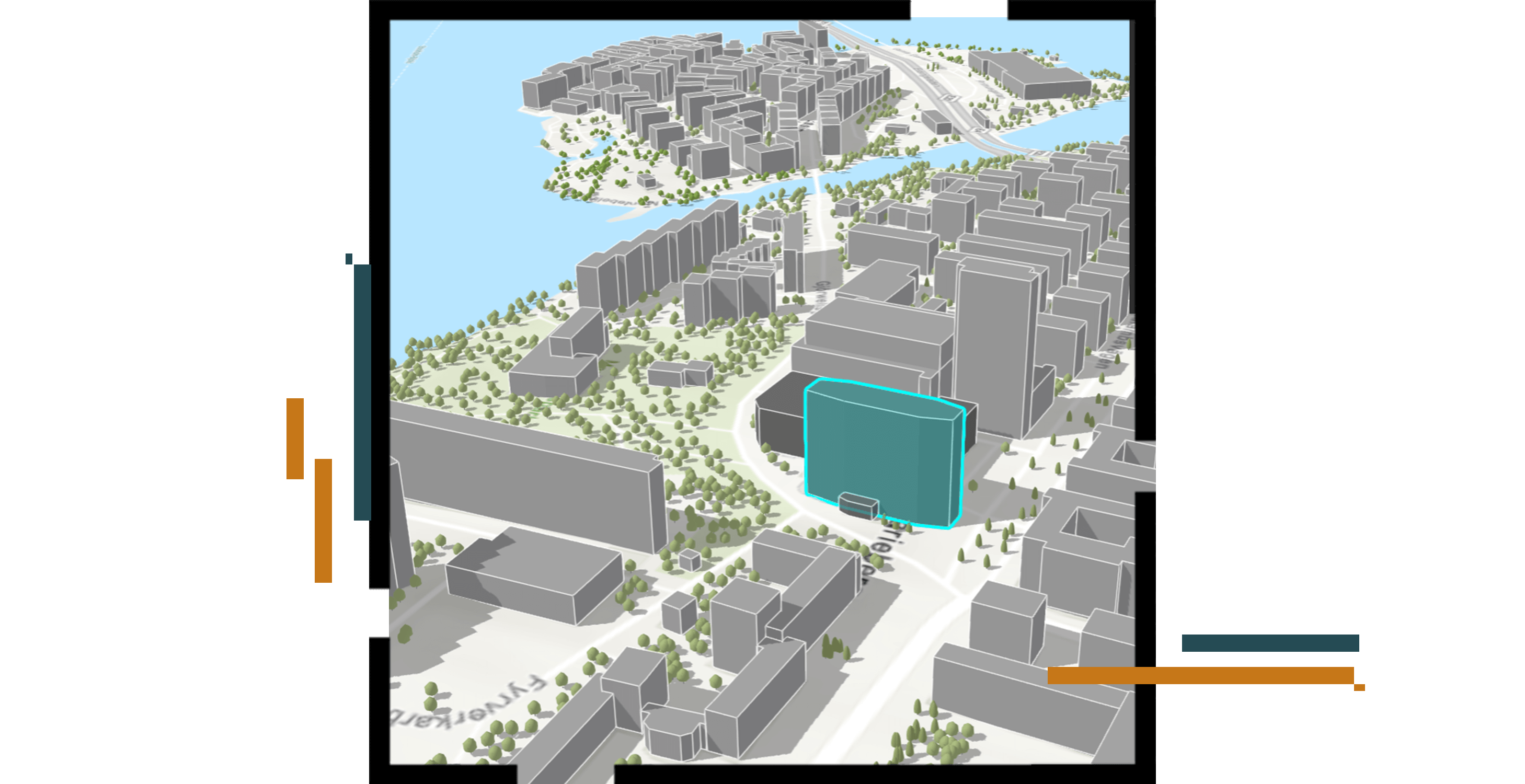
Digital Twins are virtual representations of the real world that incorporate physical objects, processes, relationships and behaviours,. The convergence of geospatial technology, building information modelling (BIM) and interactive 3D can be used to simulate single facilities, entire cities, and even large natural systems. Digital Twins are used to represent accurate historical state, to observe and monitor performance and explore or predict future state.
GIS & BIM
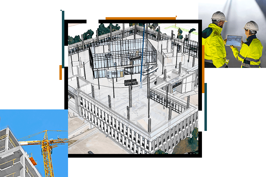
Digital transformation in the architecture, engineering, and construction (AEC) industry requires professionals to use geospatial and design data together. Esri pioneered problem-solving through GIS and is integrating building information modelling (BIM) and location intelligence to drive improvements in the industry. Esri has partnered with Autodesk to put GIS and BIM integration at the centre of construction projects for a more sustainable, resilient future. We're bridging the gap between GIS and BIM, delivering real business value to architects, engineers, contractors, and owners. Combining 3D models from Revit and other applications with location intelligence from ArcGIS increases efficiencies and maximises investments.
Environmental Management
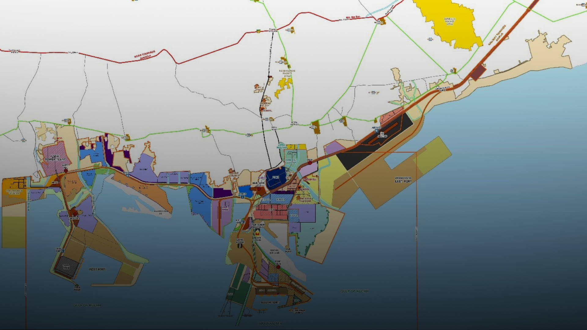
Environmental science is a multidisciplinary field that integrates the biological, social, and physical sciences. Every environmental issue has a geographic component: coastal erosion, contamination, pollution, urbanisation, desertification, habitat loss, invasive species, and deforestation, just to name a few. GIS is a powerful technology to organise, analyse, manage, and visualise geospatial data for due diligence, site assessment and remediation, environmental restoration, and ecological modelling.
Mobile Working
Simplified collection and analysis of data on conditions throughout the project inform the engineers making critical decisions, which will have an impact for years.
The Success Story
ArcGIS empowers the qualitative design of irrigation pipelines by seamlessly integrating spatial data, enabling precise planning and analysis for optimal infrastructure development, ensuring efficient water distribution, supporting sustainable agricultural practices through informed decision-making and resource management.
Dr. Rajesh Kumar
HEAD - EDRC (DIGITAL), III SBG - WET IC, L&T Construction
Request a demo
Please fill out your details below for us to contact you for the demo.
Get in touch with us
Email Us
Write to us at info@esri.in
Call Us
Talk to us over the phone