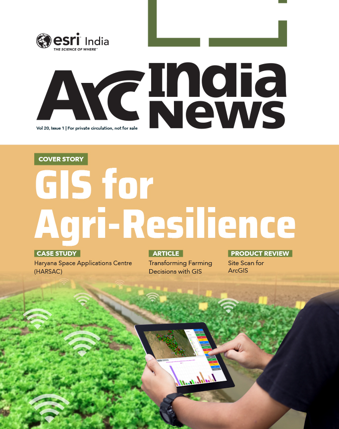
The Crop Management Solution developed using Esri’s Geospatial Technology is enabling HARSAC to effectively govern the full lifecycle of agricultural production in the State of Haryana. By removing demand-supply gaps and minimizing errors in yield estimations and procurement predictions, it fosters a culture of sustainable agriculture, bringing about 300-400 crores worth of savings to the State.
Table of contents
Project Summary
Haryana Space Applications Centre (HARSAC) has developed and deployed a Geospatial Technology-based Crop Management Solution to address challenges in agricultural management. This solution empowers farmers, enhances transparency, and strengthens agricultural reforms in Haryana. The solution, which is part of HARSAC’s OneMap Gurugram Portal, enables the authority to capture real-time, groundtruth intelligence on the total crop produced in Haryana. It allows the government to precisely record, measure, and analyze agricultural produce, leading to more effective governance in yield management and agricultural income generation. By bringing transparency to the lifecycle from seed to market, farmers feel more empowered. The system has led to significant improvements in yield management, cost reduction, and resource optimization, resulting in substantial financial savings for the state.
Organization Details
Client
Haryana Space Applications Centre (HARSAC)
Industry
Agriculture
Organization Profile
Haryana Space Applications Centre (HARSAC) is responsible for implementing GIS, Remote Sensing, UAV, and GPS technologies across Haryana State, covering a total of 42,212 sq. km. HARSAC harnesses geospatial technology to benefit the state’s citizens and prepares plans, policies, and proposals to guide decision-making authorities in the government of Haryana.
Website
https://www.hsac.org.in/harsac/
Project
Crop Management Solution
Highlights
- Facilitates capture of real-time, ground-truth intelligence on the total crop produced in Haryana.
- Ensures more effective governance in yield management and agricultural income generation.
- Brings more transparency to the lifecycle from seed to market; empowering farmers.
- Leads to substantial financial savings for the state.
Challenges
Traditional paper-and-pencil surveys in agriculture are prone to errors in measuring farmlands and yields, leading to mismatches in records. Without a digital system, government benefits like subsidies and insurance often do not reach farmers. Additionally, traditional systems struggle with collaboration among different departments.
Solution
The Crop Management Solution, built using Esri’s Geospatial Technology, enables complete data collection of crop types and conditions across Haryana. It performs precise measurements of farmland size in each district, helping HARSAC manage farmlands and crops more effectively, reduce labor costs, and minimize resource waste. The accurate, up-to-date data allows for the formulation of feasible funding and agricultural development plans.
The system encourages farmers to register on a common portal, promoting transparency. Currently, about 1.2 million farmers are registered. This registration facilitates complete knowledge of farmland, easing crop monitoring and management. Farmers receive updated market rates and can schedule appointments to sell produce at government-approved centers, saving time and effort.
GFASAL: Geospatial Governance revolutionizing Farming Activities through Spatial Analysis and Learning, The GIS system allows HARSAC to visualize and analyze field data easily, ensuring integrated agricultural data can be updated and managed through an enterprise geodatabase. The system also serves as a platform for data synchronization, management, and sharing, enhancing collaboration among departments and leading to informed decision-making.
A mobile application enables surveyors to measure farmland areas, add attributes, and take pictures of crops using integrated GIS and GPS technologies, ensuring real-time data upload.
The GFasal Dashboard provides district-wise crop details, allowing users to see information on crops surveyed, crop types, and village-level data, promoting transparency from seed to market.
This robust GIS-facilitated system ensures genuine farmers are identified, bogus beneficiaries are excluded, and registration anomalies are reduced. The state’s income from agricultural produce is optimized, and government benefits reach the real farmers.
Field surveys, carried out by students, involve using the mobile app. This experience imparts geospatial data knowledge and GIS skills, contributing to future capacity building and making students more employment-ready.
Methodology
The Crop Management Solution employs the following GIS tools and techniques:
- Data Collection: Using mobile applications integrated with GIS and GPS, surveyors collect data on crop types, farmland size, and conditions.
- Real-time Data Upload: Collected data is uploaded in real time to an enterprise geodatabase, ensuring accuracy and timeliness.
- Data Visualization: The GFasal Dashboard provides a visual representation of crop data, enabling easy analysis and decision-making.
- Collaboration: The system facilitates data sharing and synchronization across departments, enhancing collaboration and informed decision-making.
- Farmer Portal: Farmers register on a common portal, where they can access information on market rates, selling outlets, and schedule appointments for selling produce.
Benefits
The implementation of the Crop Management Solution has led to significant improvements:
- Yield Management: Accurate measurement and analysis of farmlands and yields.
- Cost Reduction: Reduced labor costs and minimized resource waste.
- Transparency: Enhanced transparency in the agricultural supply chain.
- Financial Savings: The state has saved approximately 300-400 crores.
- Farmer Empowerment: Farmers receive support throughout the crop lifecycle, from production to market.
- Social Enforcement/Assessment Impact: Strengthened social enforcement mechanisms and enhanced assessment capabilities, fostering greater accountability and compliance within the agricultural sector.
The integration of Geographic Information Systems (GIS) in agriculture is transforming traditional farming practices. GIS technology enables precise data collection, a nalysis, and visualization, which are crucial for effective decision-making and resource management. Agriculture plays a vital role in the economy, and efficient crop management is essential to support the livelihoods of millions of farmers. HARSAC, recognizing the need for modernizing agricultural practices, implemented a Geospatial Technology-based Crop Management Solution to overcome the limitations of traditional methods and enhance agricultural productivity and governance. The Crop Management Solution by HARSAC is a pioneering step towards modernizing agriculture in Haryana. By leveraging Geospatial Technology, the state has achieved significant improvements in yield management, transparency, and financial savings.
To download the PDF version of this article, click the button below.
Read More Articles
