displaying 50 results
Discover how GIS digital twin smart city India enables real-time planning, 3D visualization, and decision-making for smarter urban management.
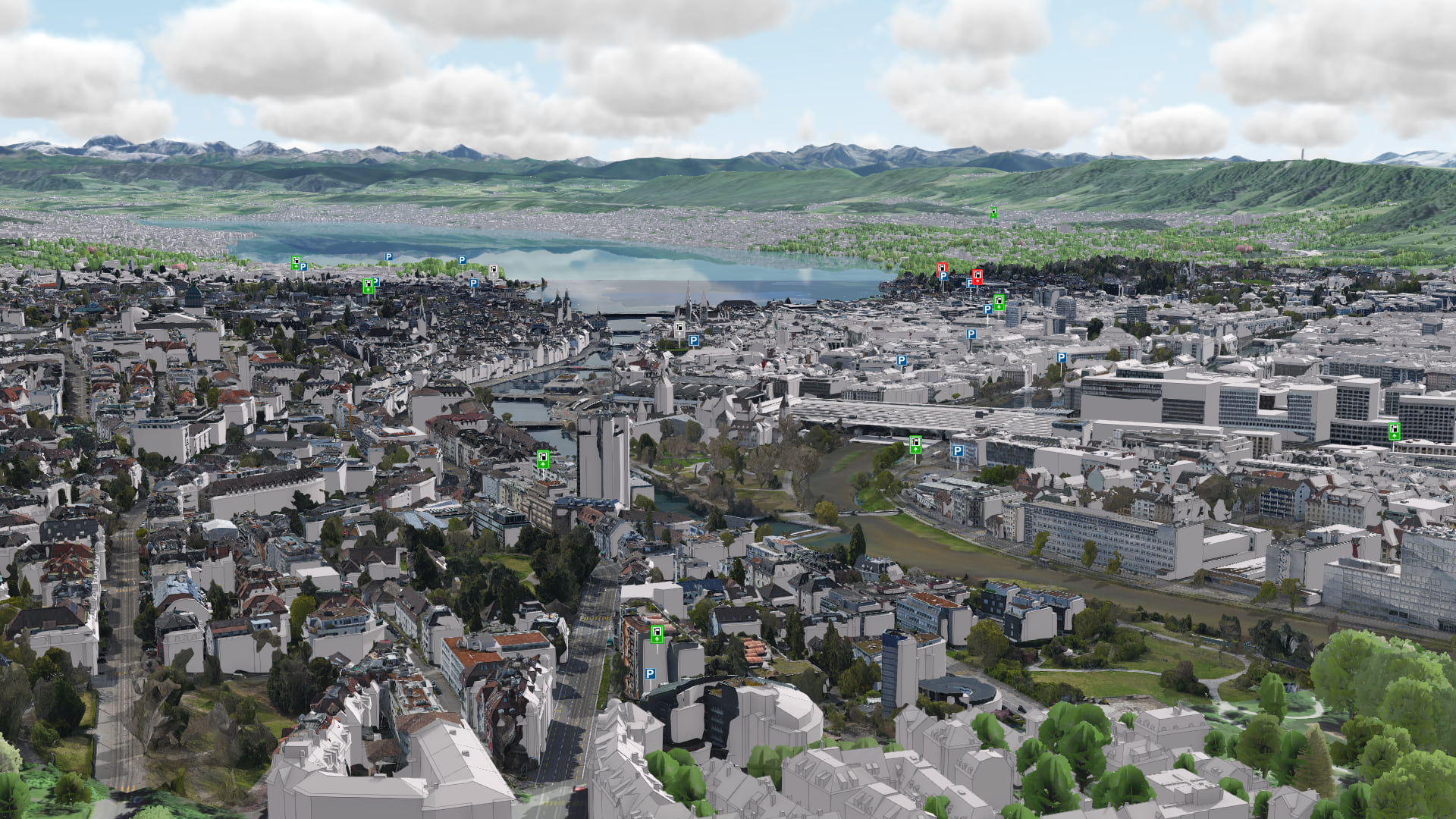
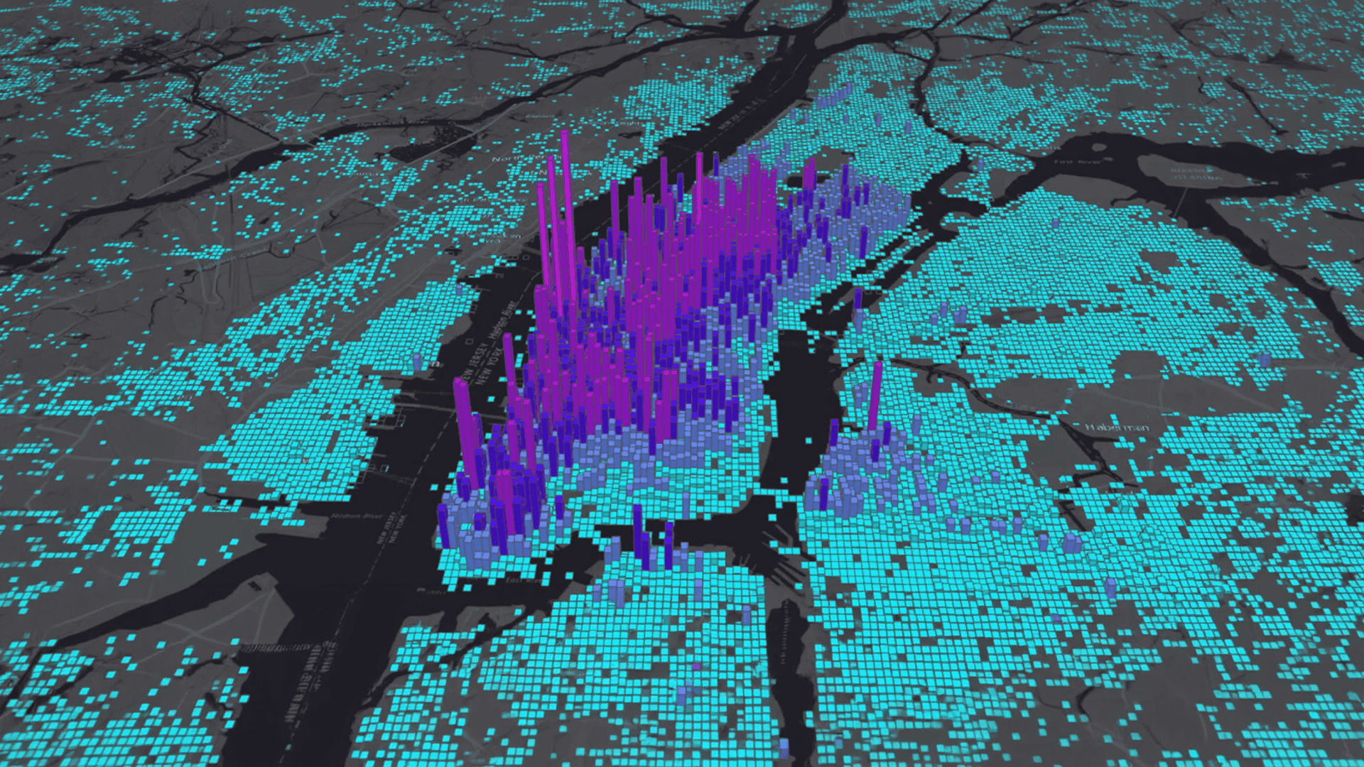
In India's complex urban landscape, GeoAI gives planners the tools to predict growth, monitor cities, and enable data-driven decisions.
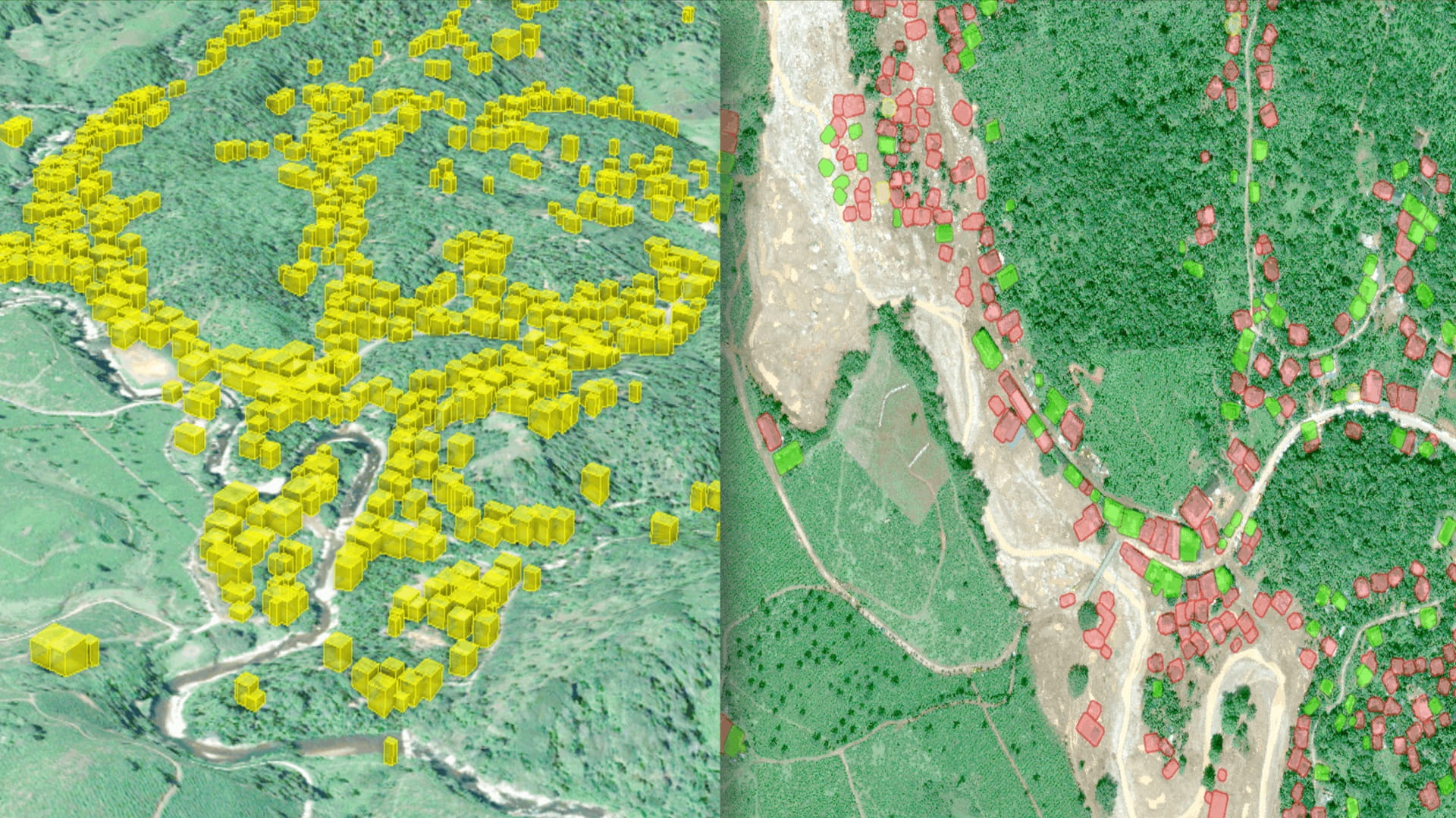
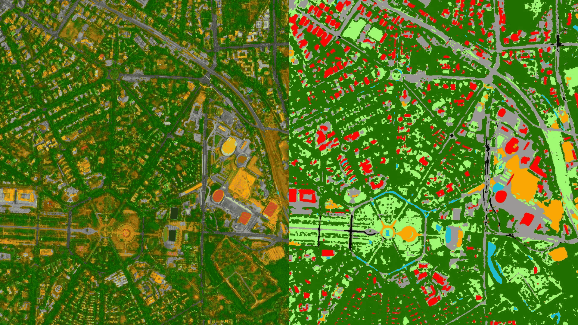
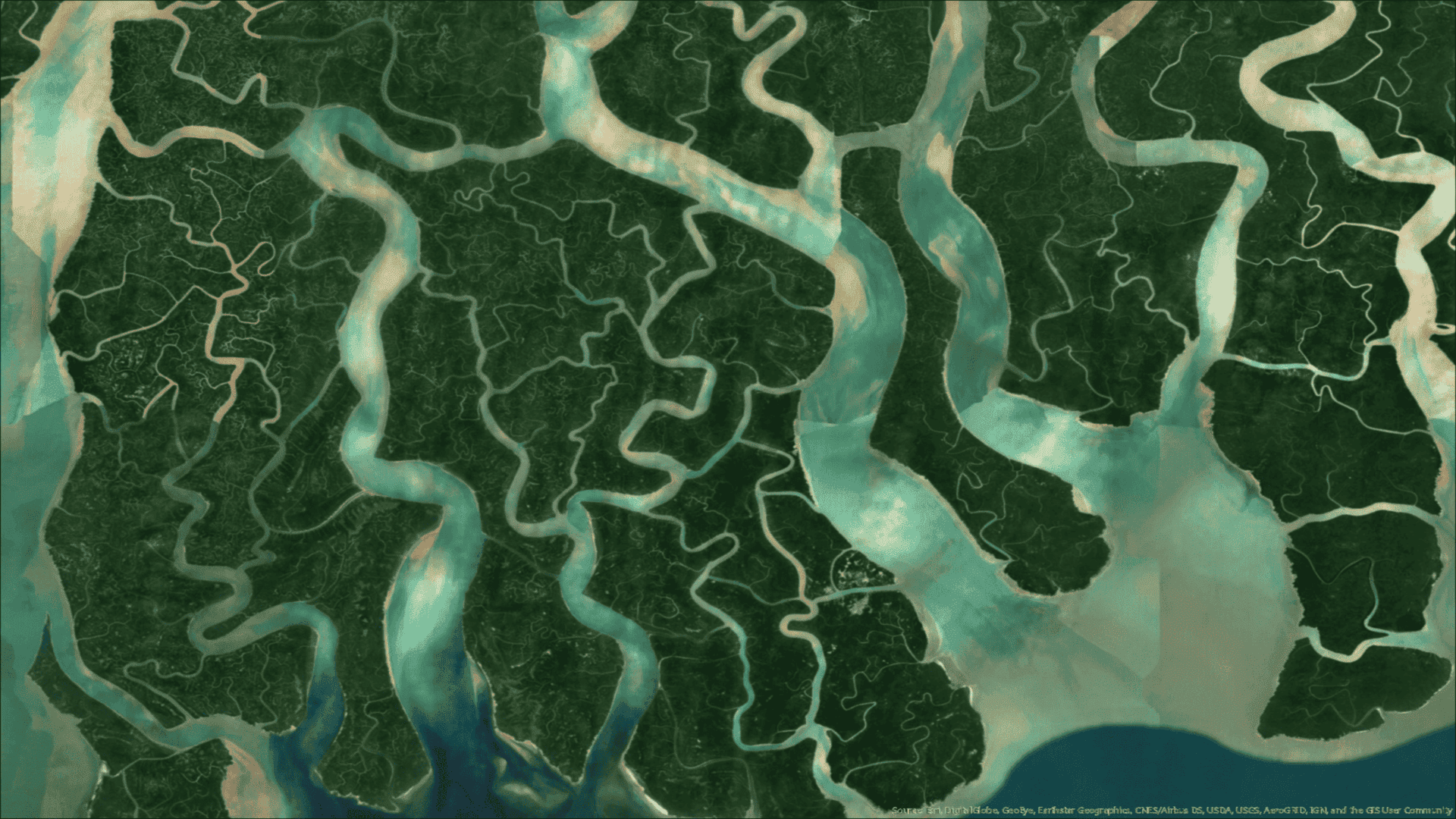
Satellite imagery captures details that are not always visible to the eye, revealing patterns that help identify what is growing on the ground.

Understand the 5 components of GIS and how they drive mapping, analysis, and data-driven decisions across industries.
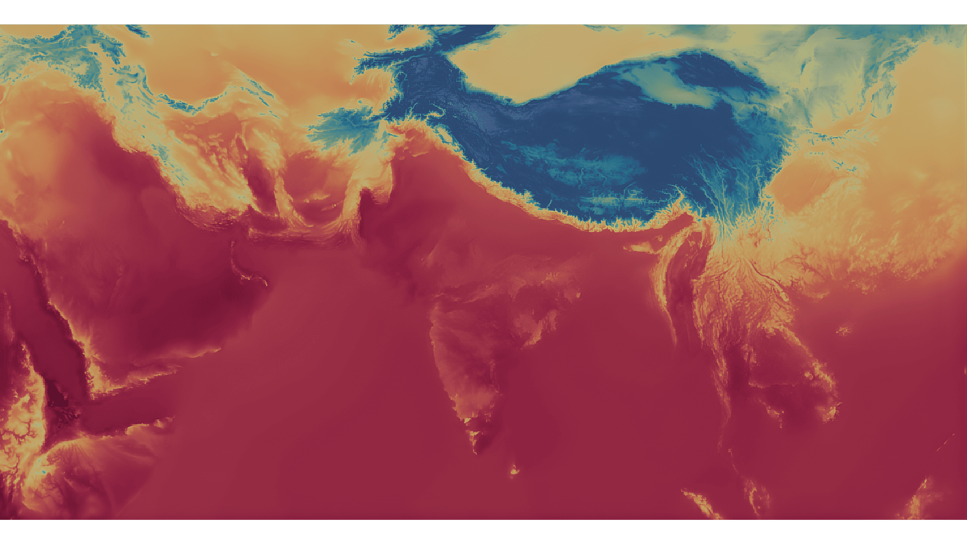
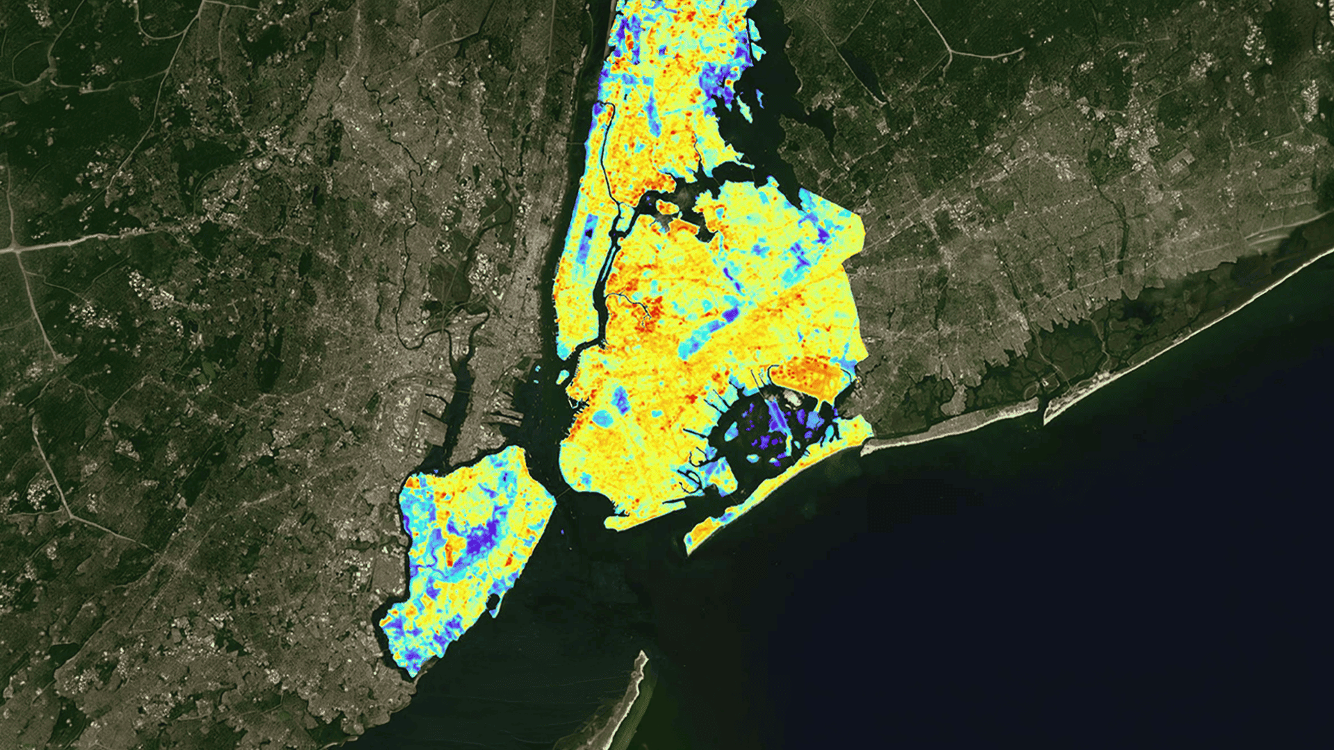
How GIS helps India tackle heatwaves with real-time mapping, risk prediction, and smarter urban planning for heat resilience.
The traditional method of extracting this meaningful data is painfully slow, prone to errors, and & requires significant manual effort.
Learn how AI and GIS enable predictive water management, helping India tackle water scarcity, optimize irrigation, and monitor water systems.
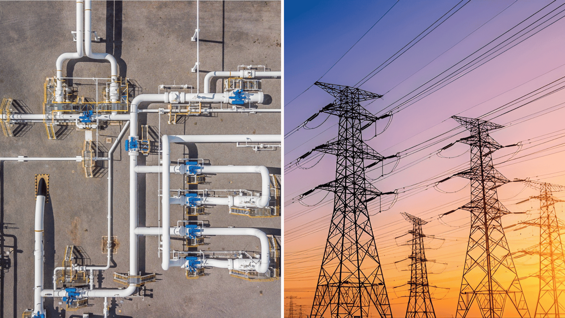
Learn how a GIS utility network helps utilities manage electricity and gas with real-time insights, asset tracking, and smarter grid operations.

We have entered an age of infinite answers. But AI is a mirror of human knowledge, not a source of human experience.
Explore how GIS in disaster management improves risk mapping, emergency response, and disaster preparedness in India.
Spatial analysis works by turning geospatial and geographical data into reliable insights that fuel confident decision-making.

Digipin is India’s digital PIN code system that assigns a precise geo-coded digital address for accurate delivery and services.