Esri India Marketing | July 16, 2026 How Geospatial Technology Is Supporting India’s SDG Progress Monitoring
Esri India Marketing | July 15, 2026 How GIS Is Powering Financial Inclusion: Mapping India’s Unbanked Population
Esri India Marketing | July 14, 2026 How GIS Is Helping Indian Healthcare Providers Map Patient Access and Close Service Gap
Esri India Marketing | July 10, 2026 Supply Chain Visibility with GIS: How Indian Manufacturers Are Mapping Risk and Resilience
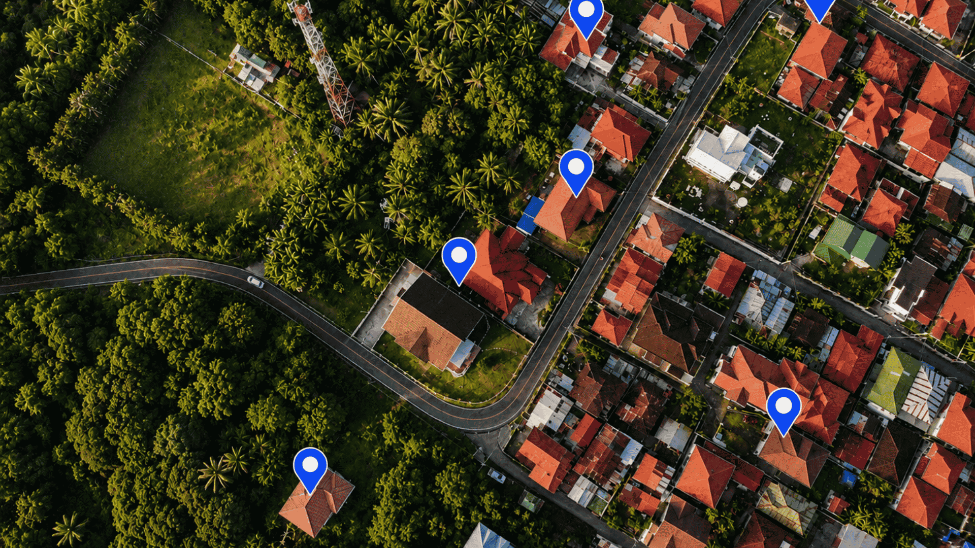
Esri India Marketing | July 9, 2026 GIS for Real Estate Site Selection: How Developers in India Are Making Smarter Investment Decisions
Esri India Marketing | July 8, 2026 Cloud GIS vs On-Premise GIS: What Indian Organizations Need to Know Before Choosing
Esri India Marketing | July 3, 2026 How Indian Banks Are Using Location Intelligence to Expand Branch Networks and Reduce Risk
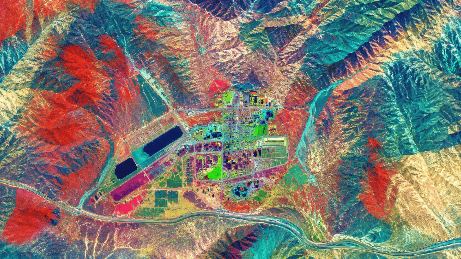
Esri India Marketing | July 2, 2026 How Hyperspectral Imagery Is Unlocking New Possibilities for Indian Mining and Geology
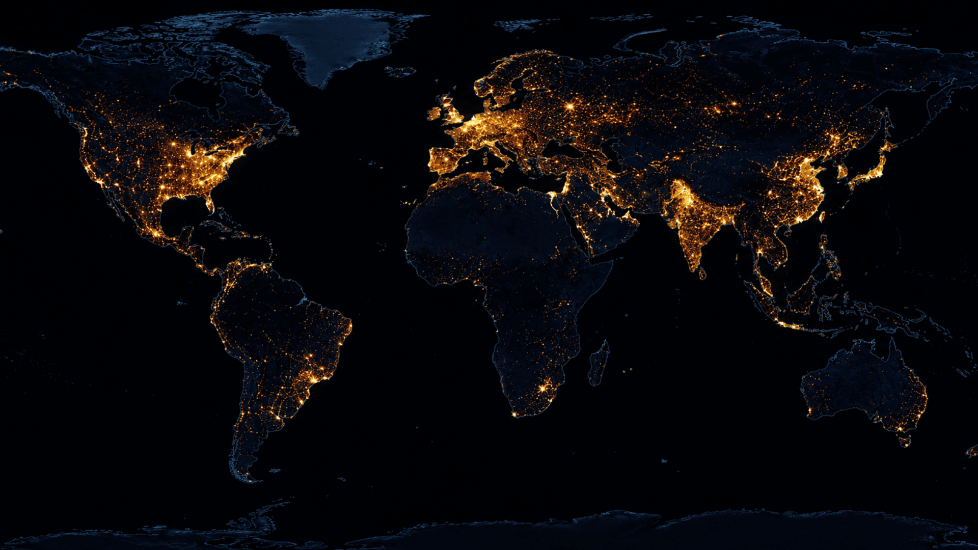
Esri India Marketing | July 1, 2026 How GIS Is Supporting India’s Net Zero Goals: Mapping Carbon Footprint and Emissions
Esri India Marketing | June 25, 2026 Heatwave Mapping and GIS: How India Is Building Early Warning Systems for Extreme Heat
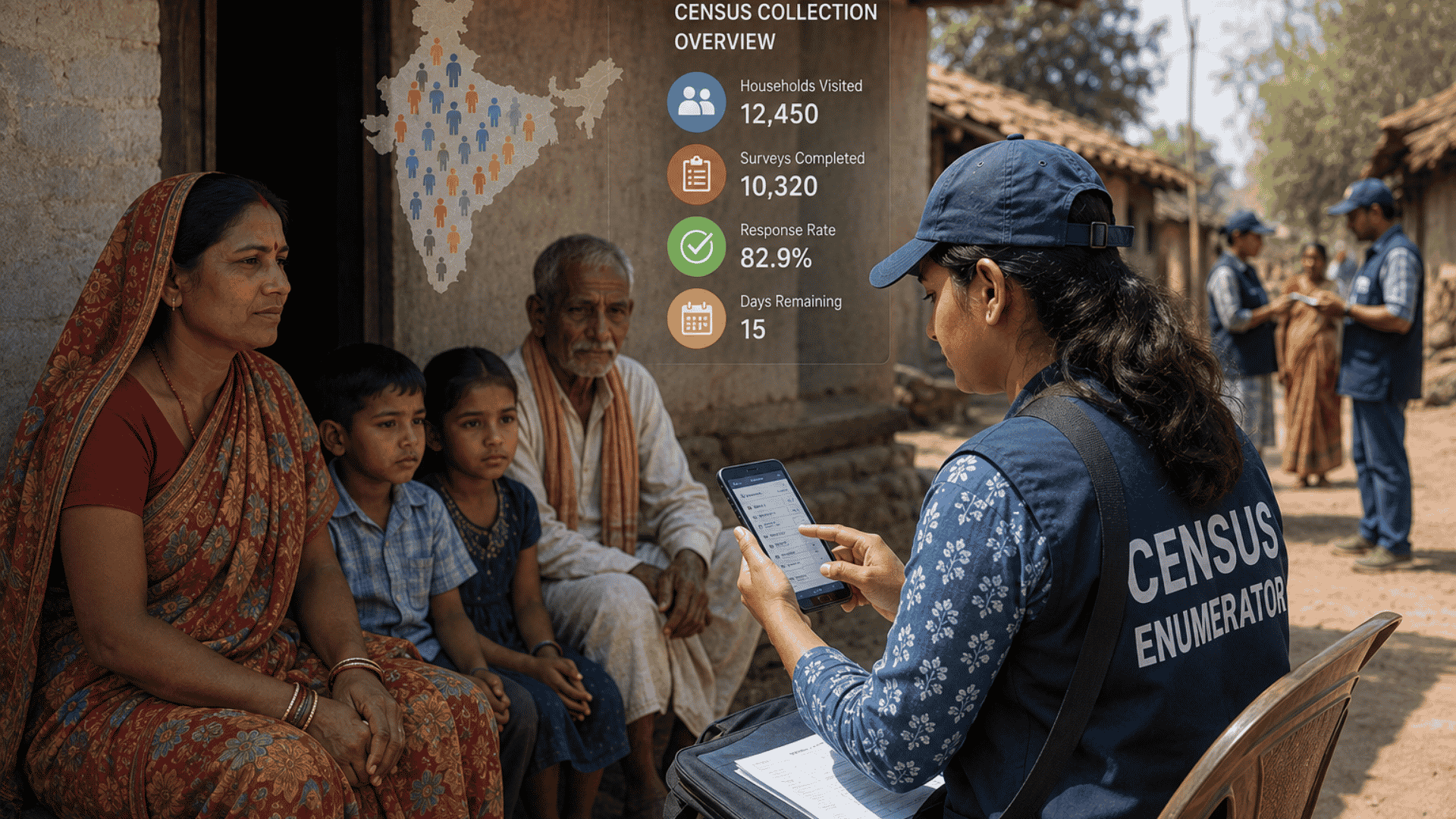
Esri India Marketing | June 24, 2026 How GIS Is Modernising India’s Census and Official Statistics Collection
Esri India Marketing | June 23, 2026 How GIS Is Powering India’s Election Constituency Delimitation and Voter Mapping