Digital Twin

Geospatial digital twins provide unparalleled context and high-resolution data integration for better business decisions

What is a digital twin?

Mirroring the real world with GIS

A digital twin is a virtual representation of reality, including physical objects, processes, and relationships. When built on a foundation of geography, it becomes a geospatial digital twin.

Geospatial

Accurate representations of complex systems require robust maps and spatial analytics from geographic information system (GIS) technology.

Time aware

GIS-based digital twins go beyond 3D models as they reflect change over time—showing historic, current, and future states.

Scalable

From single facilities to large built and natural systems, geospatial digital twins scale to meet changing needs.
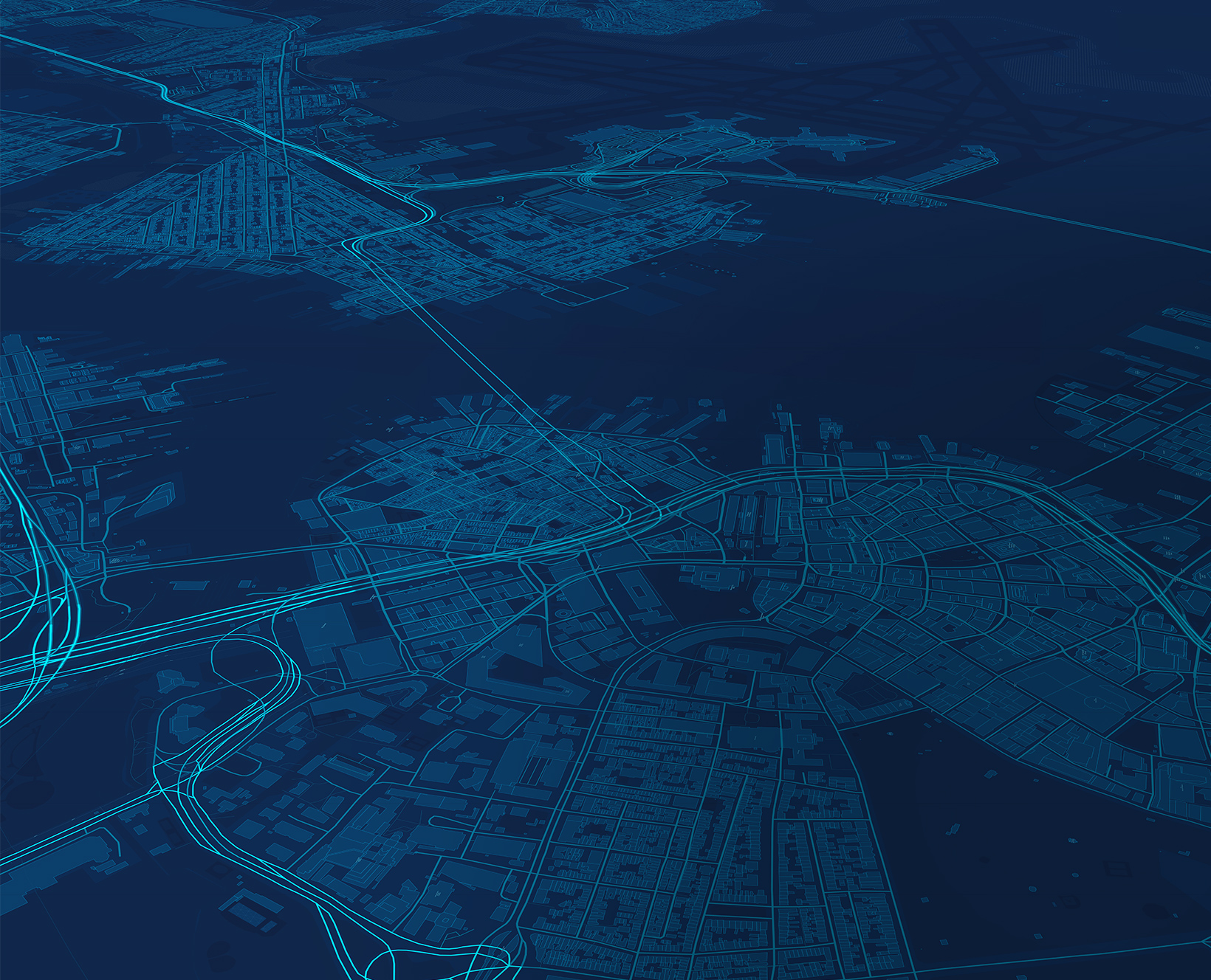
This example shows an animation that flies into Boston showing building details and moves to street-level details.

Creating a living replica

A digital twin of Boston integrates vast datasets—from zoning and transportation to public safety—to give decision-makers one view of real-time conditions and potential scenarios.

Who uses geospatial digital twins?

Forward-looking organizations around the world advance planning, operations, network management, environmental, design, and construction work with Esri’s trusted GIS technology.

Design and construction

Cross River Rail Delivery Authority

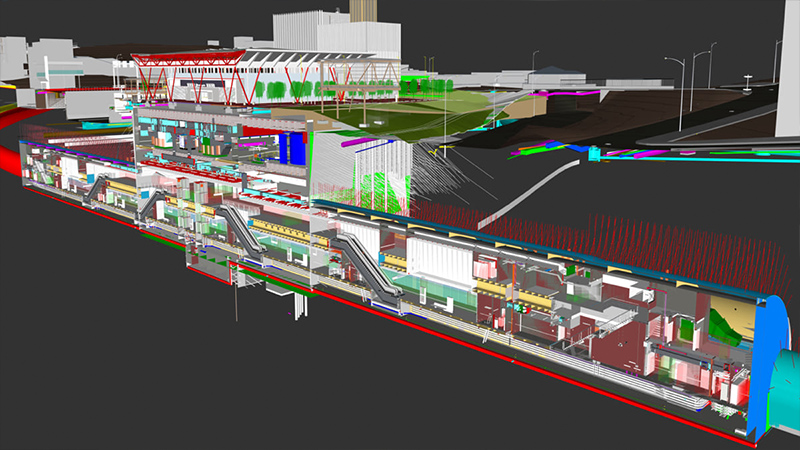
In Brisbane, Australia’s fastest growing city, Cross River Rail used a sophisticated digital twin to build the city’s first underground railway. Visualizing existing infrastructure above and below ground minimized disruptions and a virtual reality tool allowed the team to tour designs.

A colorful rendering shows above ground and below ground rail infrastructure in Brisbane

Network management

Vodafone

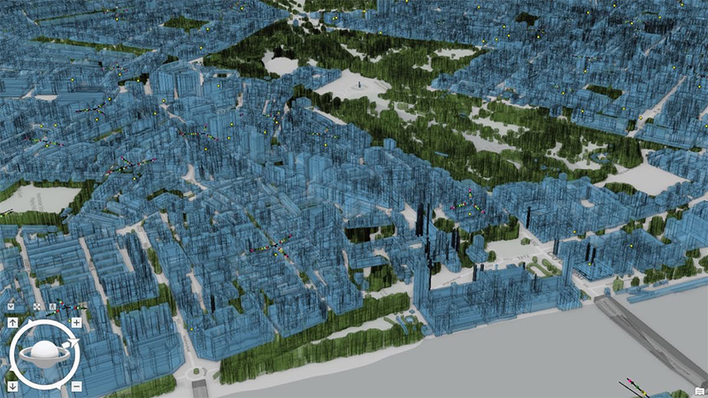
The high-resolution digital twin for Britain—representing 245,000 square kilometers—provides an immersive 3D experience. Anyone at the carrier can view infrastructure, customers, and the invisible signals the company creates and sells to strengthen signals and customer satisfaction.

3D representation of an area in Britain showing buildings in green and blue based on network management data

Planning

Prague Institute of Planning and Development

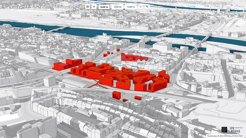
A digital twin helps planners and designers strike the right balance of development, climate change mitigation, and historic preservation to ensure a high quality of life for residents.

A 3D rendering of Prague shows selected buildings in red while others remain white.

Operations

Cisco

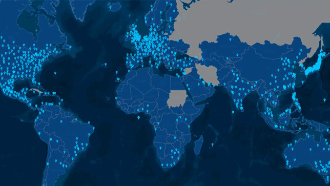
To serve its customers in more than 130 countries, Cisco created a digital twin that connects logistics, field services, planning, order management, and sales support. The GIS-based simulation provides near-real-time awareness and enables an efficient supply chain.

A map illuminating areas of Africa, Southeast Asia, and Europe to indicate important places in the supply chain

Environmental

Point Conception and The Nature Conservancy

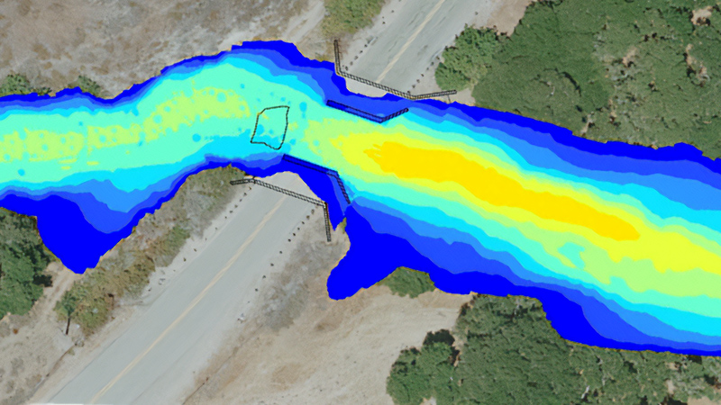
Capturing archaeology, wildlife, and vegetation details in a geospatial digital twin reveals conditions such as high-water flow events, key relationships in critical habitats, and the best ways to protect one of the United States’ most biodiverse places.

A blue and yellow gradient of color crosses over a roadway to indicate critical environmental information.

Gain exceptional clarity

Explore an unmatched holistic view of assets, operations, and possibilities with a real-time integrated digital twin.

Visualize comprehensive data

Dynamic, interactive visualizations unite vast amounts of data from sources including business systems, sensors, and information models.

Simulate and predict outcomes

Comprehensive models show how plans and ideas would impact places, people, and the bottom line in a risk-free, virtual environment.

Make complex systems easier to understand

One view shows infrastructure, assets, and movement to streamline workflows and decision-making.

Buildings with colorful data layers showing areas of solar radiation and noise impacts

Rich visualizations speed understanding

Viewing above- and below-ground infrastructure with a digital twin provides an intuitive way to understand projects, such as the Grand Paris Express, throughout its lifecycle.

The power of data—amplified

Unite diverse datasets, gain spatial context, and build a mature digital twin with the robust capabilities in Esri enterprise GIS technology.

Advanced data integration

Connect proprietary data and add layers such as terrain, demographics, and climate risk to deeply understand relationships and outcomes.

Dynamic modeling

Use interactive models built with precise location data and other essential inputs such as building information to answer critical questions.

Immersive environment

Bring buildings and cities alive. Transport stakeholders to a site with game-like 3D models that transform collaboration and problem-solving.

Animation of Paris metro lines brought to life in a digital twin

Layered models inform action

Understanding the relationships among disparate data—such as noise, solar radiation, and building information modeling (BIM)—generates new insights on sustainability in Sweden.

Get in touch with us

Product Information

Get answers for your product, industry or technical inquiries

Request Product Information

Contact Us

Share your details with us

Contact Esri India

Give us a call

Talk over the phone

1800-102-1918