
Create
Add dimension to your data. Create the as-built environment or conceptualize your vision.

ArcGIS Capabilities
The interactive 3D web app was built using the ArcGIS API for JavaScript. Click here to create your own


Add dimension to your data. Create the as-built environment or conceptualize your vision.
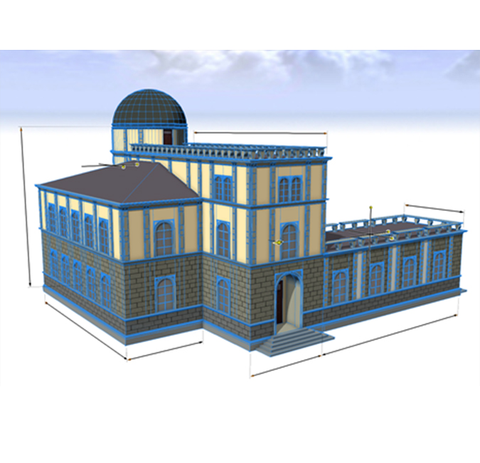 Building Information
Model interiors of buildings for planning, analysis and visualization.
See How →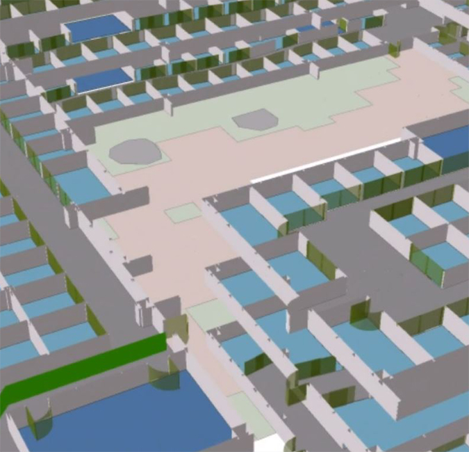 Campus Management
Visualize as-built or new designs within the real-world space they occupy.
See How →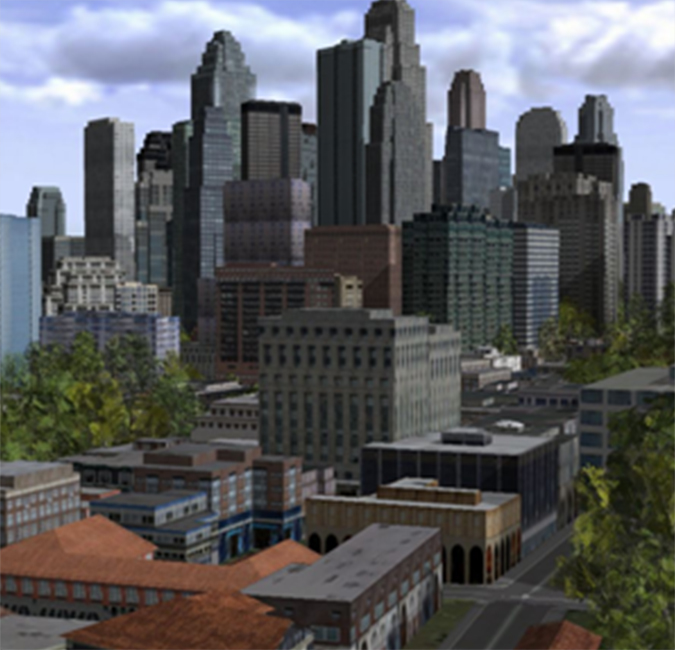 City Planning
Model an entire city for master planning, economic development, and operational efficiency.
See How →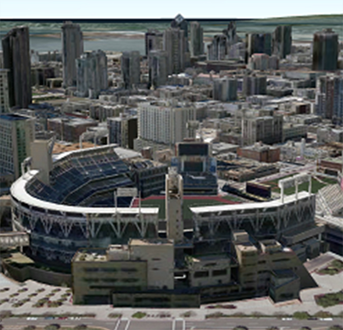 Regional Analysis
Look at a large region in 3D for big picture understanding.
See How →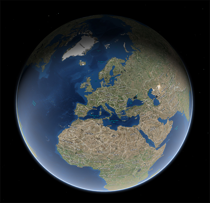 Global Views
Use the whole globe to get a true sense of your data.
See How →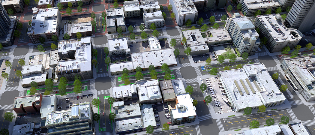

Scene Viewer

ArcGIS Earth

Esri CityEngine

Drone2Map for ArcGIS

ArcGIS Pro

ArcGIS API for JavaScript

Web AppBuilder for ArcGIS

Esri Story Maps

ArcGIS Runtime SDKs

ArcGIS Pro SDK
Get answers for your product, industry or technical inquiries
Share your details with us
Talk over the phone