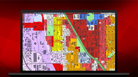
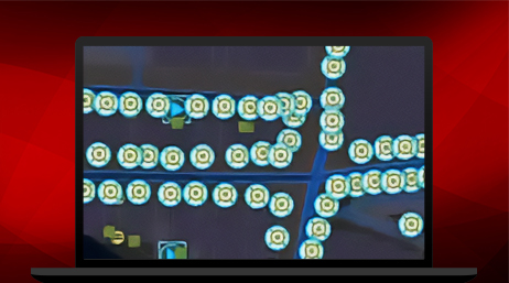
Police patrols act as a deterrent to criminal activity. Spatial analysis can help police operations personnel determine where and when to deploy resources to have the greatest impact on crime. Mobile apps can be used to send analyses and alerts to officers in the field. Dashboards can track patrol activities in real time. The chief and command staff can evaluate mission success using Compstat dashboards.Â
Patrol operations capabilities
Data-driven policing
Mobile support for officers
Monitor operations in real time
Policing strategies powered by ArcGIS
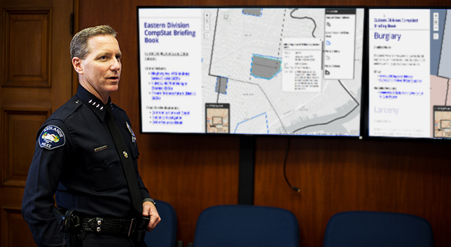
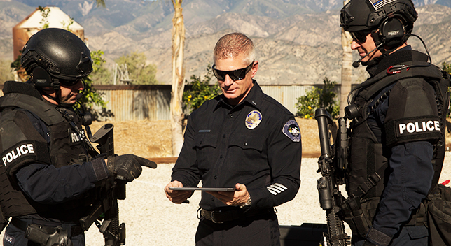
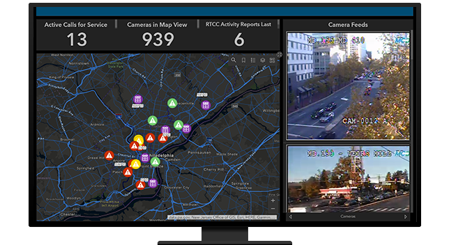
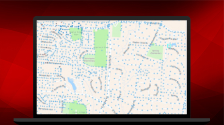
Most modern policing strategies can be holistically managed with ArcGIS. Analysts identify problems through desktop analysis. Analytical products are shared with command staff to help make operational decisions. Officers in the field can see assignments using mobile applications that support situational awareness. And finally, law enforcement executives can evaluate mission success using strategic dashboards.
Collect and share real-time data
Esri mobile apps can help field personnel find locations and information, collect and edit data, report real-time locations, conduct field interviews, and work in connected or disconnected environments. All data collected can be shared in real time and is captured for later review.
Integrate data through operational dashboards
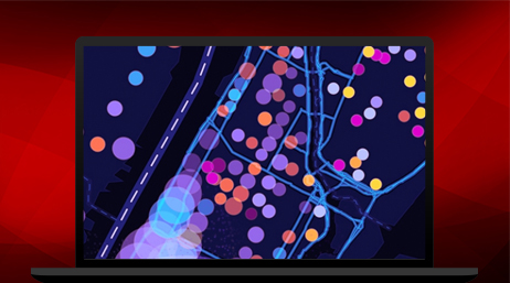
Operations staff can use dashboards to understand ongoing events, monitor calls for service, and view personnel locations in real time. Dashboards can integrate data from multiple sources including agency databases; ArcGIS mobile apps; sensor systems such as AVL, LPR, and CCTV; and any other location-enabled devices.
CASE STUDY
Compstat at the Vancouver Police Department
A Compstat dashboard provides Vancouver Police Department with many benefits including enhanced operational decision-making.
Read the case study
CASE STUDY
Modernizing policing with ArcGIS Enterprise
St. Petersburg Police Department uses ArcGIS Enterprise to power the department's data management and analysis needs.
Read the case study
CASE STUDY
Boosting officer investigations with technology
ArcGIS for Office provides police officers the data they need fast, speeding up investigations and allowing crime analysts to focus on GIS analysis.
Read the case study
CASE STUDY
Police enhance crime analysis with data analytics
Police officers use ArcGIS Insights to interactively explore data to understand what's going on in their district.
Read the case study
ARTICLE
Fourth of July fireworks patrols use GIS
The City of Visalia, California, uses ArcGIS technology to patrol and pinpoint illegal fireworks activity.
Read the article
VIDEO
ArcGIS Dashboards: Reducing crime risk
Baton Rouge Police Department uses ArcGIS Dashboards and GIS to transform policing and reduce crime.