Emergency preparedness
Visualize and analyze risks, performing real-time analytics, manage mitigation projects, and communicate with the public.

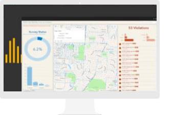
By turning data into intelligence, GIS gives preparedness professionals the situational awareness they need to respond to an emergency efficiently and effectively. GIS produces intelligent maps that show where an emergency is occurring and predict where it might occur next.
FEATURED CASESTUDY
Today, various agencies in India involved in COVID-19 response, at national, state and even at district level, have turned to GIS to develop coherent, synergistic response strategies and surveillance measures. In order to assess and combat COVID-19, Bruhat Bengaluru Mahanagara Palike (BBMP) launched a war room under the Esri disaster response program using ArcGIS COVID-19 templates and dashboards. The dashboard gives access to time enabled interactive maps revealing the infection spread, mapping confirmed and active cases, fatalities, and recoveries.
An all-inclusive, tactical situational awareness and mission management software solution.
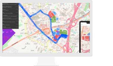
Improve operational efficiencies in field workforce activities.
Revolutionize decision-making with analysis that visually informs the organization of new, previously unexplored insights gained from the perspective of “where”.
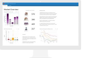
Present location-based analytics using intuitive and interactive data visualizations on a single screen.
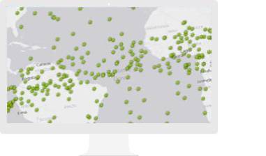
Understand your community with mapping and spatial analytics
Please fill out your details below for us to contact you for the demo.
Write to us at info@esri.in
Talk to us over the phone