ArcGIS Online
Work with smart, data-driven styles and intuitive analysis tools that deliver location intelligence.

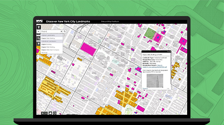
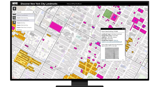
The ArcGIS platform provides an easy and standardized way to inventory, visualize, and assess conservation activities in a community, including prioritizing open spaces, preserving historic neighborhoods, and restoring wetlands.
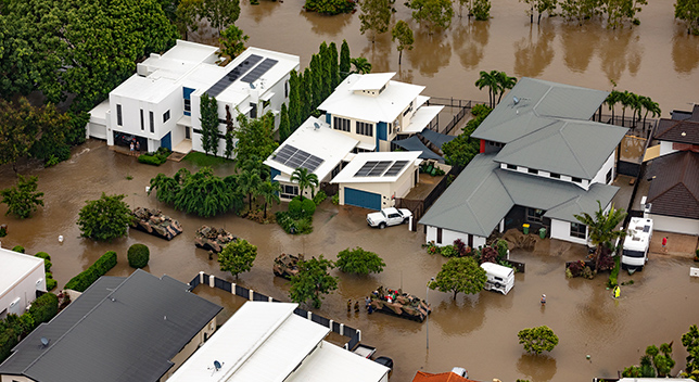
At the core of a community's resilience is its ability to mitigate and recover from both acute shocks and chronic stresses. ArcGIS provides the platform to manage these short- and long-term incidents with multiple departments and stakeholders to ensure the development of a resilient community.
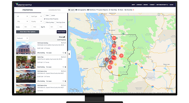
Sustainable economic development and growth are the goals of every resilient community. Use ArcGIS to generate market analysis and understand a neighborhood's needs and workforce to better support business recruitment, retention, and expansion efforts.
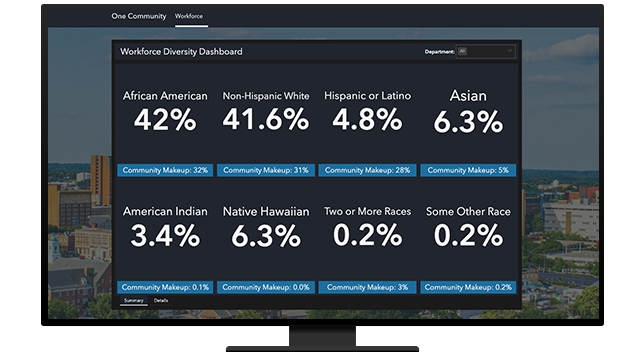
The roles of today's planning professional continue to expand into policy development. Use the powerful web-based tools in ArcGIS to responsibly place resources and assets throughout a community and promote a more socially equitable and healthy environment for residents.
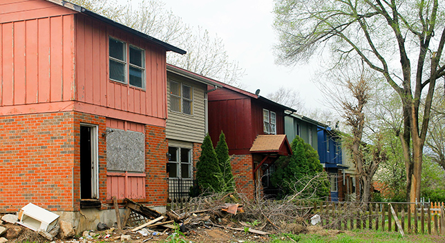
Planners must understand where blight is occurring and the neighborhoods at risk to create more resilient communities. Use GIS to identify and analyze the demographics and socioeconomic characteristics of neighborhoods to justify blight remediation plans.
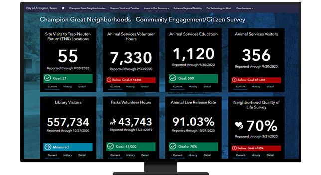
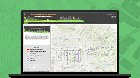
Getting buy-in from administrators, stakeholders, and residents is a must when establishing plans to make communities more resilient. Use ArcGIS to get the open data platform you need to transparently and effectively inform and promote resilience initiatives for neighborhoods.
ArcGIS Online
ArcGIS Pro
ArcGIS StoryMaps
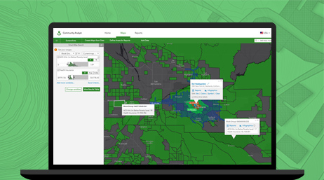
ArcGIS Community Analyst
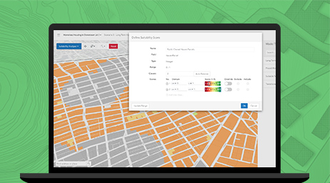
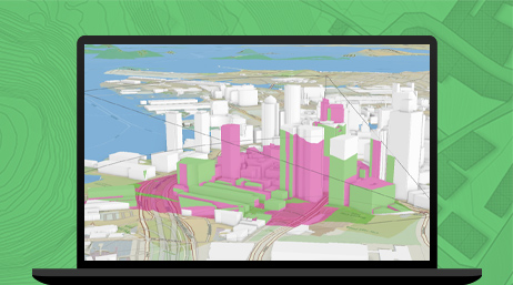
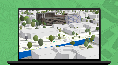
ArcGIS Urban & Policy Validation Application
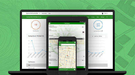
ArcGIS Survey123
ArcGIS Solutions
Please fill out your details below for us to contact you for the demo.
Write to us at info@esri.in
Talk to us over the phone