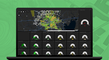
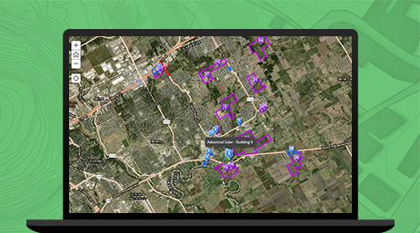
ArcGIS Online
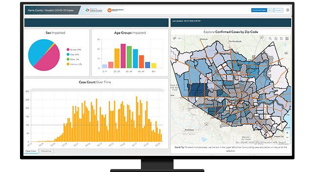
Work with smart, data-driven styles and intuitive analysis tools that deliver location intelligence. Share your insights with specific groups.

Use ArcGIS to deliver maps, apps, and other content related to planning initiatives that meet residents' expectations. Provide a foundation that establishes a genuine partnership between the public and planning professionals.
Use ArcGIS Hub to host documents, maps, images, ArcGIS StoryMaps, and other media in a focused manner. In one place, you can inform the public and allow residents to give project-specific feedback, which provides government agencies with the input they need to move forward or make changes.
Planning departments are still tasked with legal requirements to notify the public about rezoning petitions, annexations, variances, and other changes to the planning code. ArcGIS has apps that meet this need and give the public a way to respond.
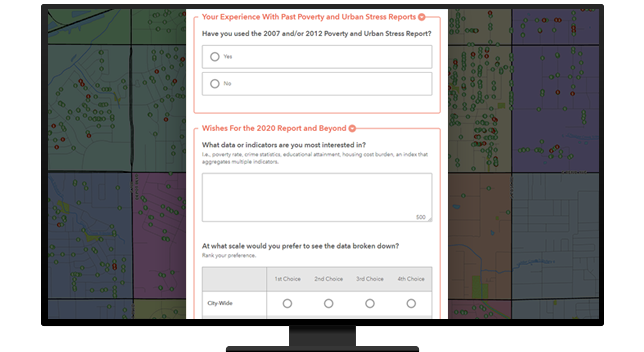
As GIS-based technology has evolved, so has the public's expectations of how they should be able to engage with their government. ArcGIS provides powerful, focused web and mobile apps that can be produced and deployed in a matter of minutes to garner immediate feedback from the public.
ArcGIS provides a suite of applications to support land-use charettes of all sizes. These activities help create a stronger sense of buy-in from the public and allow decision-makers to quickly understand and visualize the kind of community residents want.

ArcGIS Online
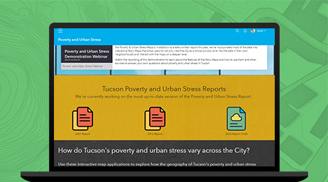
ArcGIS Hub
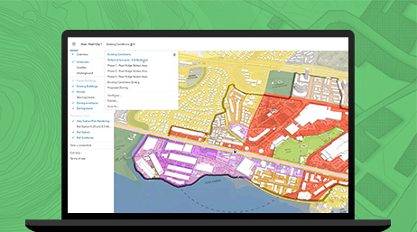
ArcGIS Urban
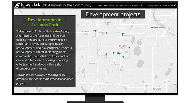
ArcGIS StoryMaps
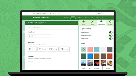
ArcGIS Survey123
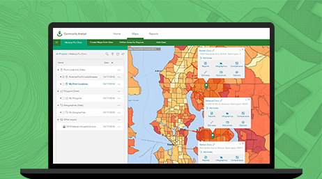
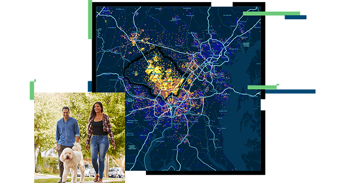
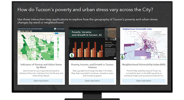
ArcGIS Community Analyst
Please fill out your details below for us to contact you for the demo.
Write to us at info@esri.in
Talk to us over the phone