
ArcGIS Urban
Smart city planning
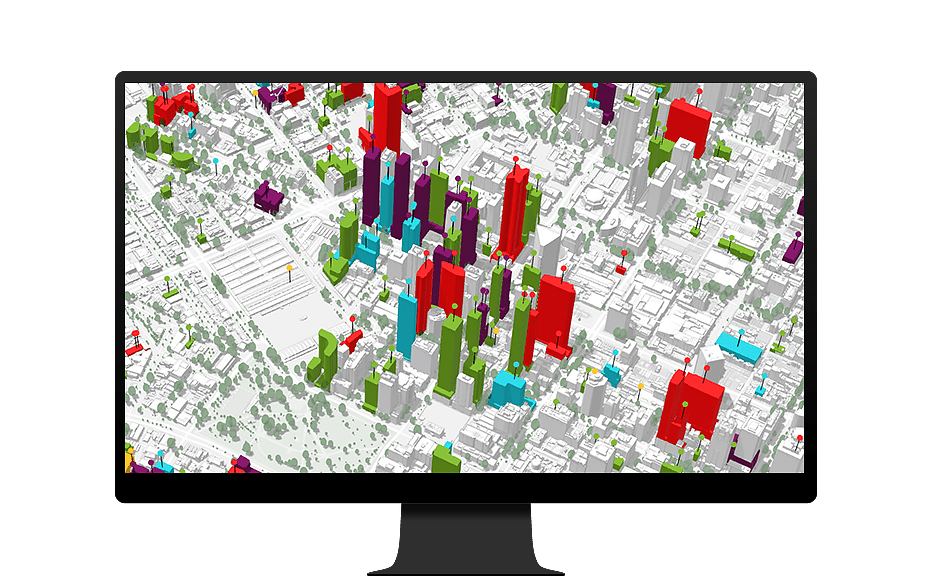
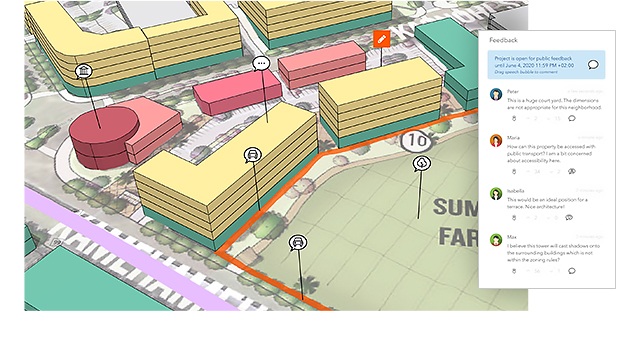
Visualize projects citywide
Create, track, and review development projects with a digital twin of your city. Incorporating building information modeling (BIM) and other types of 3D information throughout the project review process gives planners and developers a common view of urban development guidelines and reduces the time required for building applications.
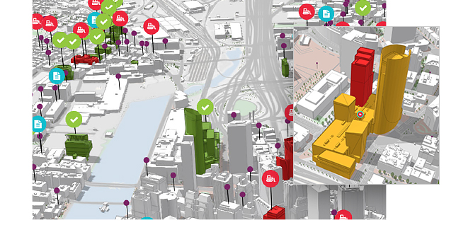
Design 3D scenarios
ArcGIS Urban makes creating, editing, and managing land-use and zoning plans simple with an interactive 3D environment built with planners in mind. Evaluating the impact of zoning and land-use changes in a study area is key to saving time and money while balancing precious resources. Through detailed indicators and analytics, ArcGIS Urban also enables the creation of on-the-fly scenarios to help visualize the areas that would be impacted by proposed urban developments.
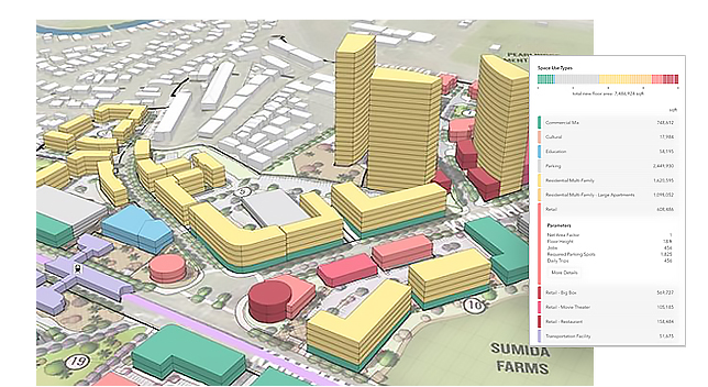
Guide change and measure impact
Incorporate data-driven land-use scenarios based on factors like population change, economic growth, and current zoning codes for a plan that is more resilient and responsive. By incorporating ArcGIS Urban into a comprehensive planning process, planners can more easily assess land-use changes to meet future demand.
Enable digital engagement
Clearly communicate proposals and increase buy-in by providing easy-to-understand visualizations and metrics. Reach new audiences and boost access to key demographic groups by incorporating online comments and surveys that increase public engagement.
How ArcGIS Urban works
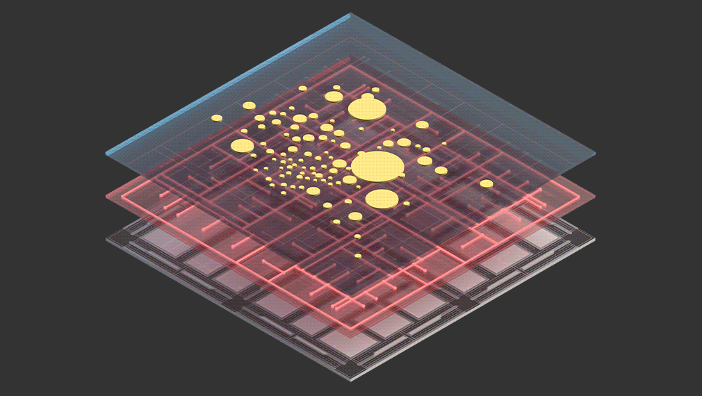
Establish a digital twin
Replicate 3D buildings, rights-of-way, or other citywide infrastructure with ease for a holistic view of current or future development efforts.
Start a digital planning and building process
Accelerate policy making with a scenario-driven process to create land-use plans, update zoning codes, and evaluate development proposals on the fly.
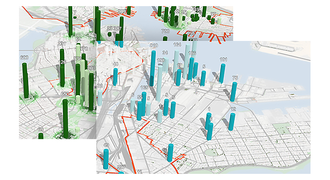
Monitor and support your goals
Support decision-making with key performance indicators that help you navigate uncertainty in short-term projects while balancing long-term policies.
Contact us to get started
Join our growing list of interested users and organizations.
Get in touch with us
Product Information
Get answers for your product, industry or technical inquiries
Contact Us
Share your details with us
Give us a call
Talk over the phone