ArcGIS Online
Work with smart, data-driven styles and intuitive analysis tools that deliver location intelligence.


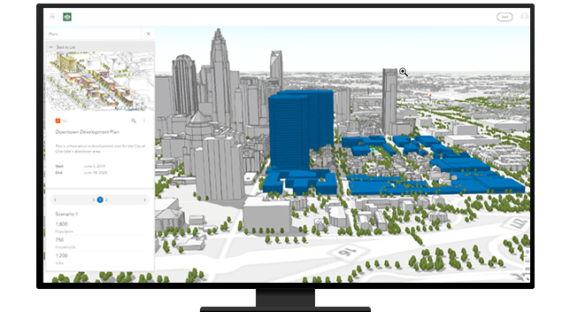
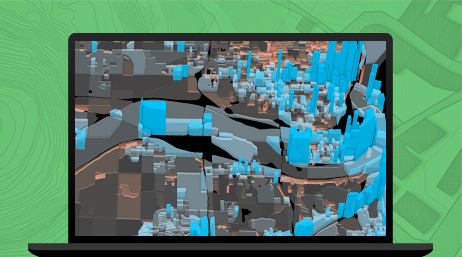
Provide GIS visualization and analysis in 2D and 3D in a secure web environment to empower urban and regional planning department staff. Planners can review line of sight and shadow impact, analyze the effect of proposed zoning and land-use changes, and ensure data-driven decision-making.
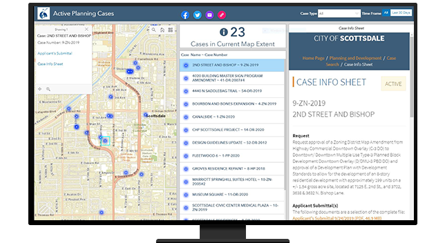
Provide a more streamlined and secure workflow for proposed land development, rezoning, site review, or variance projects, informing all stakeholders. Integrate geographic information into your permitting systems to provide location intelligence and generate more value from existing systems.
To encourage development in your community, you need to have an efficient code enforcement process. Empower staff, such as building inspectors and code enforcement officers, to be able to securely access and update inspection data in the field with GIS tools. These inspections can be made immediately available for review back in the office.

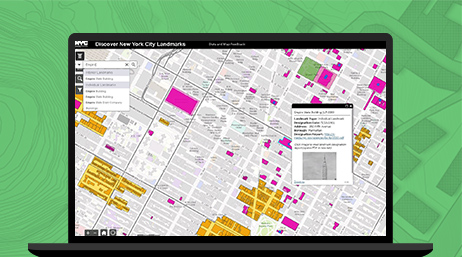
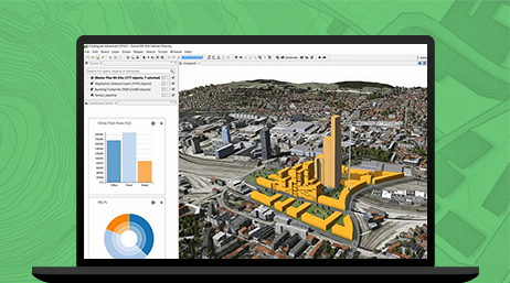
For plans to be approved efficiently, all stakeholders should make decisions based off the same information, understand and agree on priorities, and solve complicated problems. GIS allows everyone in the planning department, administrators, developers, and the public to agree. Easily provide access to authoritative zoning, land-use, and permitted-use data across desktop, web, and mobile devices.

Green infrastructure ensures that people connect with nature; have access to clean air and water; experience improved quality of life; and live healthier, happier lives. The retention and creation of green infrastructure are key components in today's development standards. ArcGIS helps planners visualize and measure the impact of development and the benefits of restoring wetlands, planting trees, retaining open spaces, and other green infrastructure initiatives.

ArcGIS Online
ArcGIS Urban
ArcGIS Pro
ArcGIS CityEngine
ArcGIS Community Analyst
ArcGIS Insights
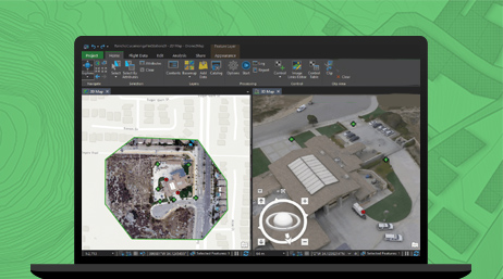
ArcGIS Drone2Map
Please fill out your details below for us to contact you for the demo.
Write to us at info@esri.in
Talk to us over the phone