ArcGIS Pro
The next generation desktop GIS supports data visualization, advanced analysis, and authoritative data maintenance.

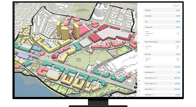
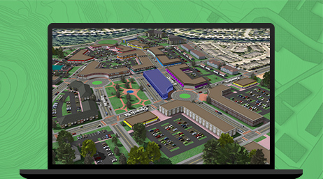
Create multiple 2D and 3D development scenarios according to existing or proposed zoning parameters in a secure web environment. Measure the demographic, economic, and environmental impacts of these developments to take a data-driven approach to future growth.
ArcGIS allows planners to understand, analyze, and report on the environmental impact of a proposed development and change in land use. These maps can be shared with administrators and stakeholders across the web and on mobile devices.

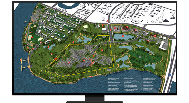
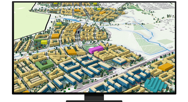
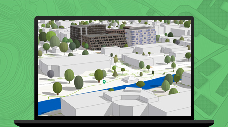
Planners think in 3D, so they should work in 3D. Using ArcGIS in a web browser, planning professionals can create building footprints, architect realistic landscapes, analyze the impacts of development in 3D, and perform line of sight and shadow impact analyses.
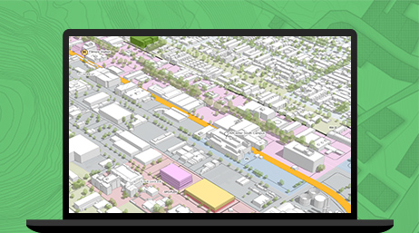
As a community's needs evolve, planners may need to consider updating zoning parameters for development. The ArcGIS platform allows planners to propose new zoning classifications and examine their potential impact before documents are modified.
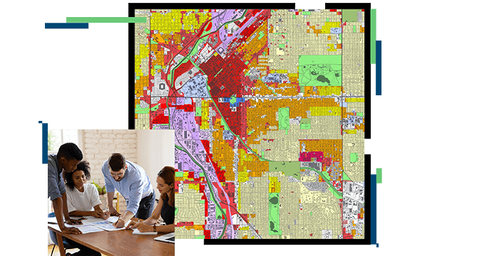
ArcGIS allows you to easily standardize data used for long-range planning, including future land-use and zoning data. You can also regulate how plans for future development are submitted digitally by developers and other stakeholders.
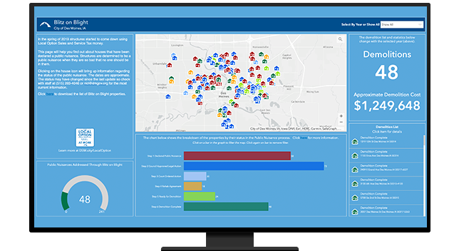
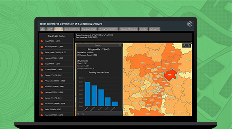
Location is at the center of assessing the status, wants, and needs of neighborhoods. ArcGIS provides the tools to assess resources and constraints and unveil opportunities to improve the quality of life for a community.

ArcGIS Pro
ArcGIS Urban & Policy Validation Application
ArcGIS CityEngine
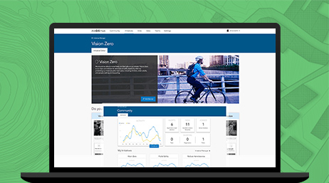
ArcGIS Hub
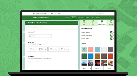
ArcGIS Survey123
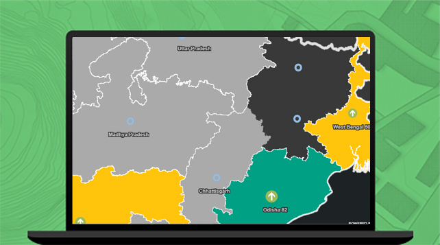
Esri India Policy Maps
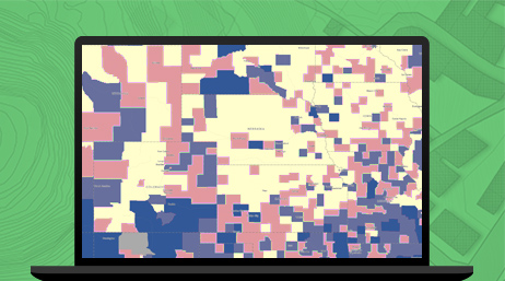
ArcGIS Community Analyst
ArcGIS Solutions
Please fill out your details below for us to contact you for the demo.
Write to us at info@esri.in
Talk to us over the phone