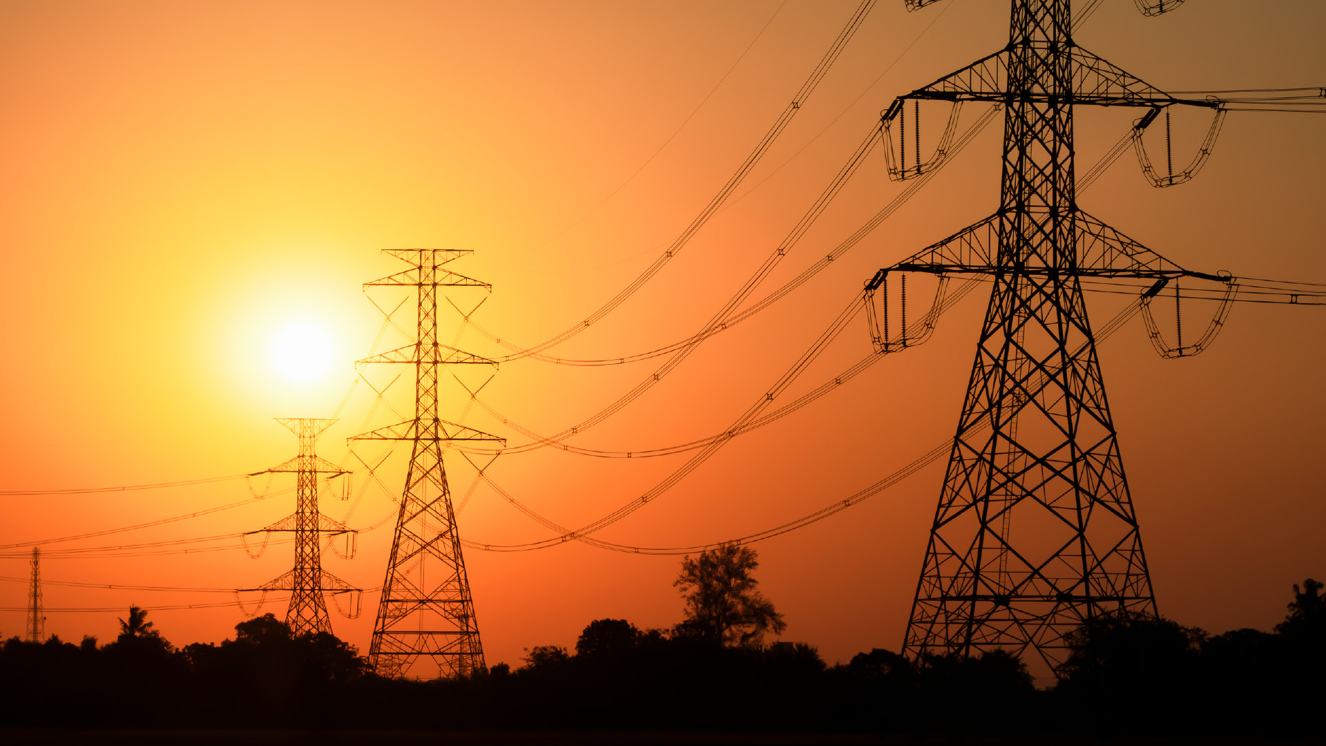
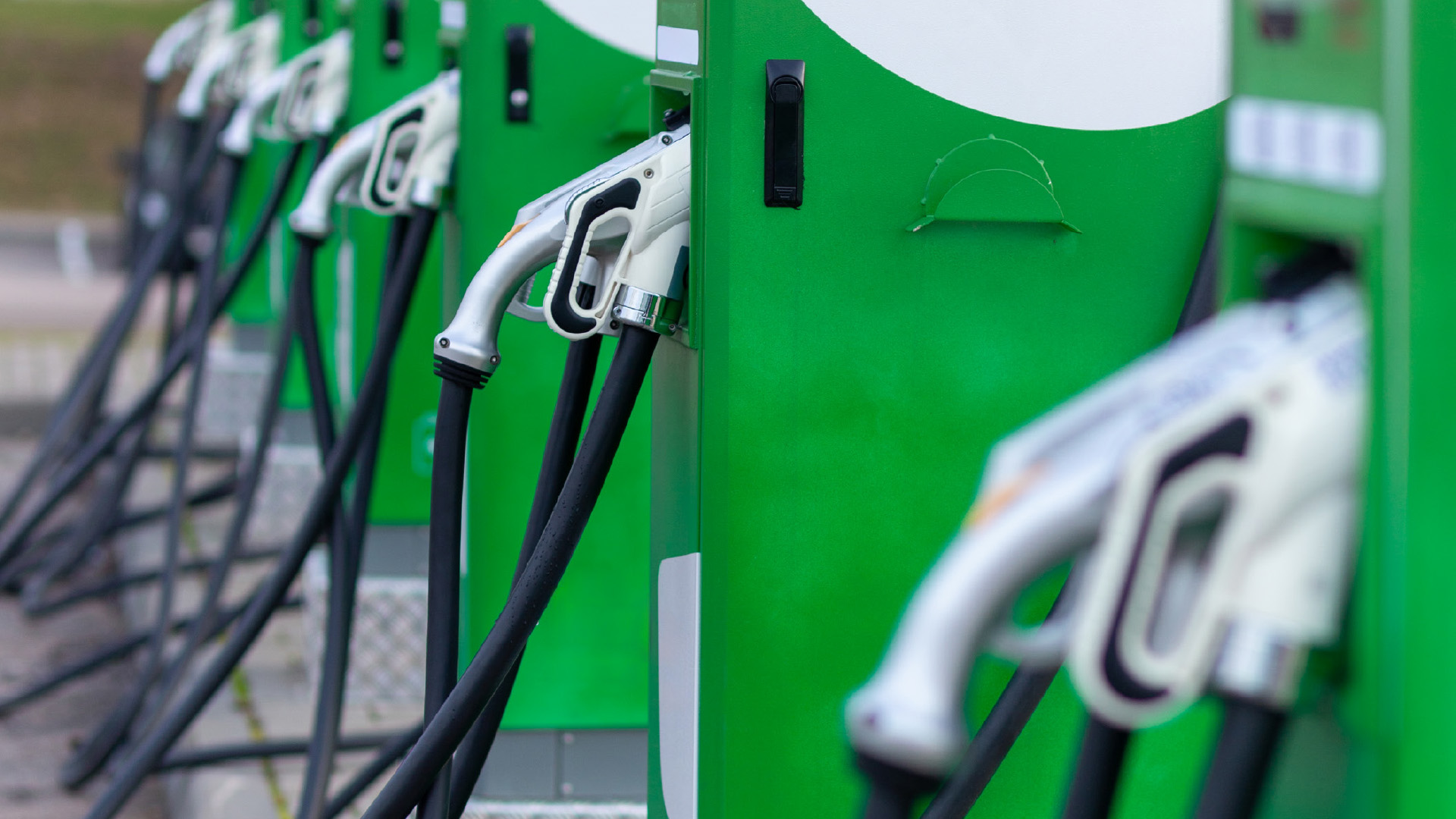
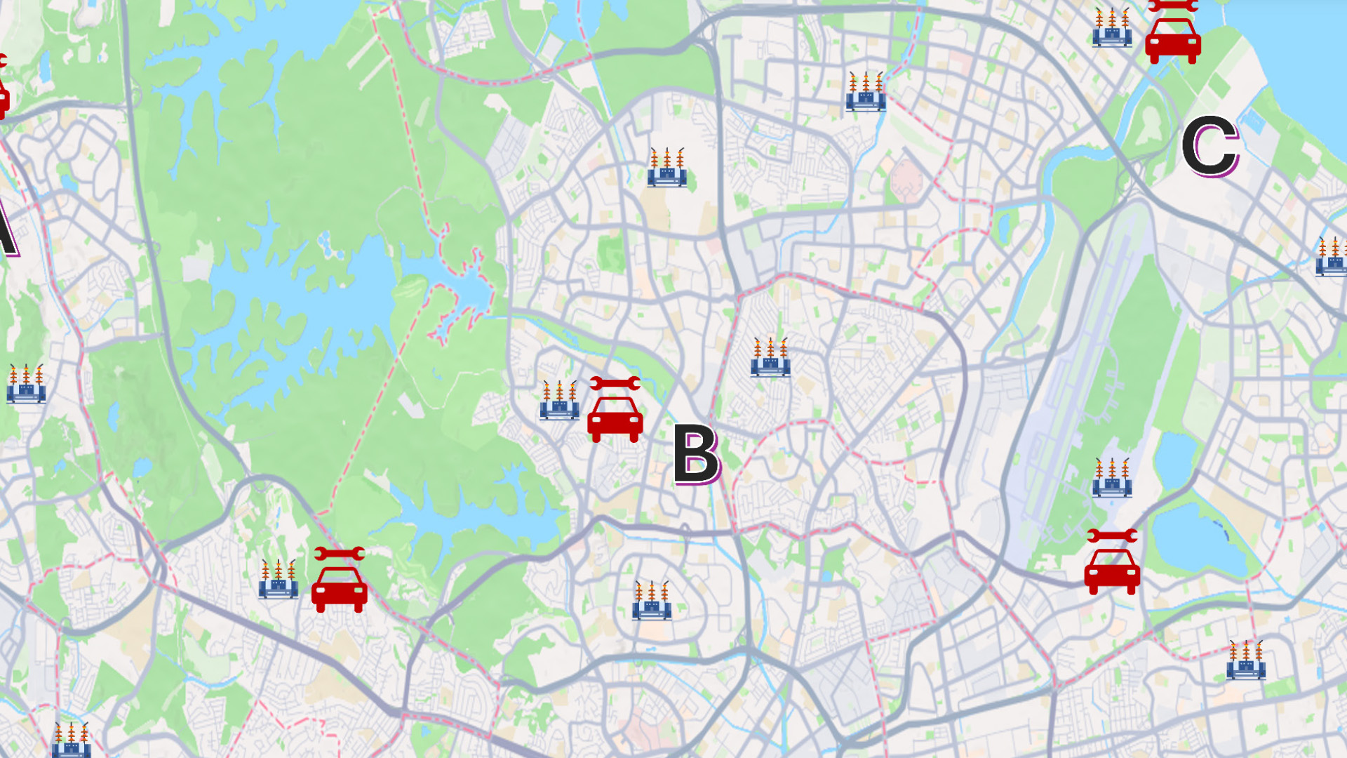
Using technologies like Geographic Information Systems (GIS), power utilities can map and analyse the entire lifecycle of transmission and distribution assets, including substations, transformers, feeders, and transmission lines. By integrating operational data with location intelligence, electric utilities can perform network planning, asset tracking, predictive maintenance, and outage management on a unified platform. With platforms such as Esri’s ArcGIS, utilities can build a comprehensive system of record and engagement, improving visibility, accelerating project timelines, and enabling more informed, data-driven decisions. For instance, organizations like Adani Electricity Mumbai Limited (AEML) and BSES are using GIS solutions to achieve unmatched efficiency in network planning, outage management, customer service, and more.
When integrated with smart meters, sensors, and SCADA systems, GIS allows utilities to monitor grid performance, optimize maintenance, and respond faster to disruptions. With increasing climate risks, GIS can also help utilities assess vulnerabilities, simulate the impact of extreme events, and strengthen grid resilience.
With advanced tools such as the Network Information Management System and ArcGIS Utility Network, powered by ArcGIS, electric utilities can efficiently manage all the complexities of a modern network.