ArcGIS Enabling Evidence-based Decision making at Lucknow Development Authority

Case Study

TPCODL: Building a Resilient, Safety-First Blueprint for Indian Utilities

Applications Building Proactive Resilience

The state of Odisha, characterized by its extensive coastline, is historically prone to severe tropical storms and cyclones. These natural disasters frequently devastate electrical infrastructure, leading to prolonged service outages that can last weeks. TP Central Odisha Distribution Limited (TPCODL), a joint venture between Tata Power and the Government of Odisha, has transformed its disaster response and operational safety by leveraging Esri’s ArcGIS Enterprise platform. By integrating real-time weather intelligence and national geospatial datasets, TPCODL has moved from reactive maintenance to a model of proactive resilience and absolute workforce safety.  

Organization Details

Client
TP Central Odisha Distribution Limited (TPCODL)   

Industry
Utilities (Power Distribution)

Organization Profile
TTP Central Odisha Distribution Limited (TPCODL) is a Joint Venture of Tata Power and the Government of Odisha. Tata Power is India’s largest integrated power company with a growing international presence. The Company, together with its subsidiaries and jointly controlled entities, has an installed gross generation capacity of 10,613 MW and a presence in all the segments of the power sector, namely, Fuel Security and Logistics, Generation (Thermal, Hydro, Solar, and Wind), Transmission, Distribution, and Trading. Tata Power is serving more than 26 Lakh distribution consumers in India (Mumbai, Delhi & Ajmer) and has developed the country’s first 4000 MW Ultra Mega Power Project at Mundra (Gujarat) based on super-critical technology.

Website
www.tpcentralodisha.com


Bhaugolik Bidyut Sanchalan Manachitra

The Bhaugolik Bidyut Sanchalan Manachitra (Operations using Geographic Maps) allows the Power Systems Control Center to predict infrastructure damage with high confidence. By visualizing wind speeds and cyclone tracks against the 11kV and 33kV network, TPCODL was able to strategically pre position man and material, during the Dana cyclone, resulting in service restoration within a remarkable 24 hours after landfall for majority of the affected areas. 

Bhaugolik Bidyut Sanchalan Manachitra

The Lakshman Rekha Application

A Permit to Work mechanism has been put in place by TPCODL to ensure safety in operations, whenever some work has to be undertaken on the distribution network. The organization previously utilized one custom grown solution titled ‘Suraksha Kawach’ app for Permit to Work (PTW) requests. But there remained a gap in verifying if field crews were operating on the exact device for which the permit was granted. This problem was solved by The Lakshman Rekha application, which utilizes ArcGIS Field Maps and real-time geo-fencing to define a virtual safety zone around authorized work sites.

The Lakshman Rekha Web Application includes custom developed modules for the departmental users. Different functionalities of these modules aid application users to perform the desired operations in a user-friendly manner.  

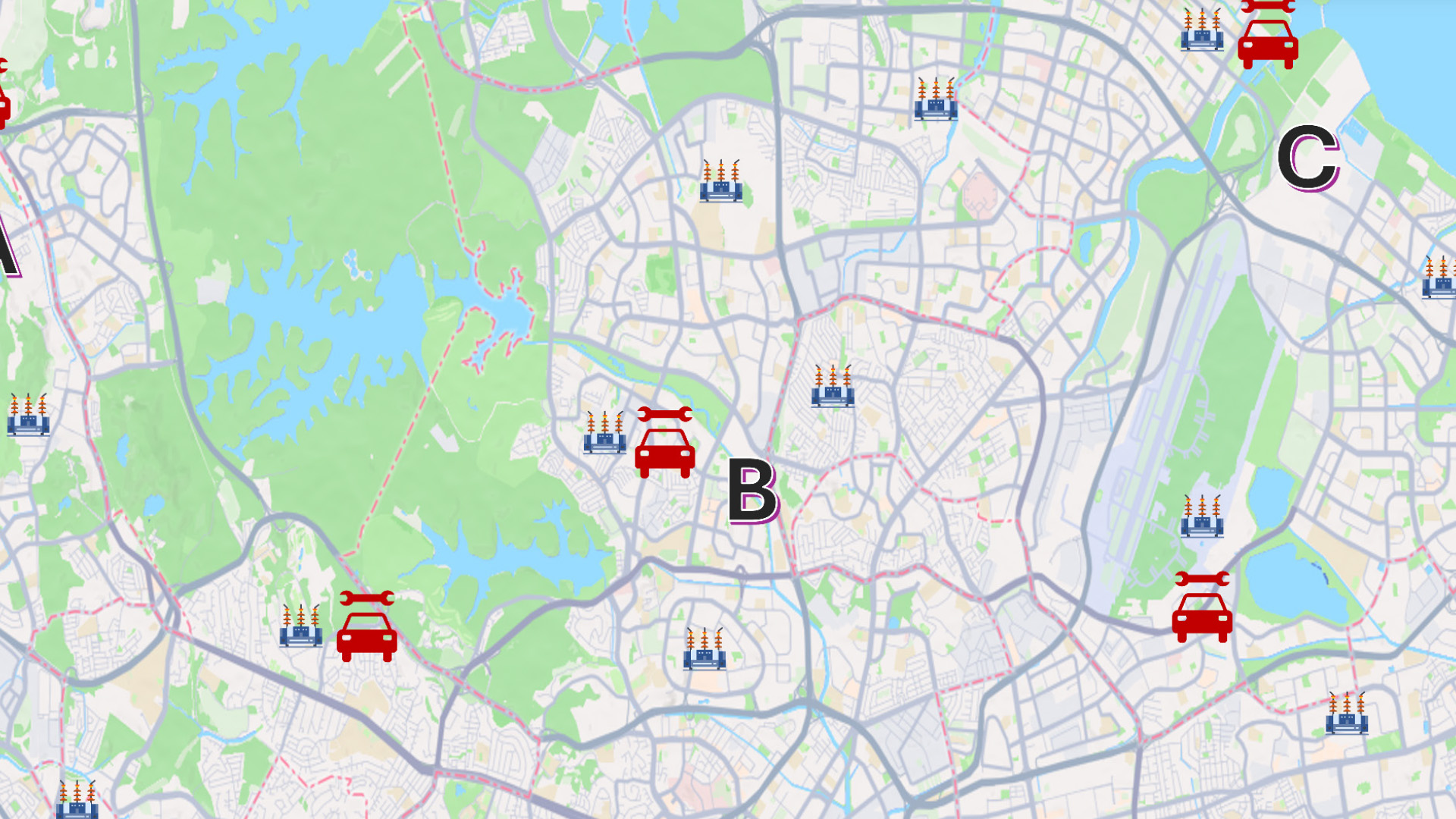
Virtual Inspection: Supervisors can now see the 100% real time location of field users relative to the electrical assets (transformers, switches, or poles).

Safety Assurance: If a crew member attempts to operate outside the notified work zone, the system provides immediate alerts, ensuring the Suraksha Kawach (Safety Shield) protocol is strictly maintained. 
PTW Executive Dashboard

The PTW Executive Summary Dashboard serves as a comprehensive tool for supervisors and higher-level officials to gain an overview of the entire feeder network and its associated PTWs. This dashboard provides valuable insights into the operational status, trends, and activity patterns within the network. It consolidates critical data into an interactive and visually engaging interface, facilitating informed decision making. This dashboard empowers stakeholders to manage the feeder network efficiently and ensure smooth operational workflows.

ArcGIS Driving Transformation across TPCODL

One of the cornerstones of TPCODL’s digital transformation is the integration of diverse data streams into a single, cohesive interface. Using Esri’s ArcGIS technology, TPCODL successfully combined its enterprise distribution network data with high fidelity external sources, such as:

The ArcGIS Living Atlas of the World: TPCODL utilizes this globally curated collection of geographic information to access real-time weather forecast models from the Indian Meteorological Department (IMD). Cyclone streams of data have been especially useful. 

Survey of India (SoI): Following the democratization of data under the National Geospatial Policy, TPCODL integrated SoI’s administrative village boundaries to pinpoint specific areas of potential impact. 

The application of geo-fencing to track the proximity of crew with the specific device on which the permit to work has been issued is a novel leap for the utility industry. By harnessing Esri’s technology, TPCODL is not just distributing power; it is building a resilient, safety-first blueprint for the future of Indian utilities.
Shri. Dhruba Banerjee,
Head – GIS, TPCODL

To download the PDF version of this article, click the button below.