arcindianews-customer-speak-1.jpg

CUSTOMER SPEAK

GIS Strengthening India’s Energy Infrastructure Ecosystem: PFC

Introduction

Power Finance Corporation Limited (PFC) is a key financial pillar of India’s energy infrastructure ecosystem. Through an insightful conversation with Mr. Saurav Shah, Executive Director (RDSS), PFC, we explored how the use of GIS is enabling the organization to serve the power sector better.

Ramakrishna Reddy


What are the main advantages of using GIS in your area of work?

In power sector, specifically, towards the distribution sector, we realize that the importance of GIS or maps is growing every single year as the urban utility space is getting crowded with more and more utilities coming in, be it gas, water or power.

To manage capacity growth, the urban strata has to be very carefully mapped so that when new work is taken, it does not impinge upon existing lines, does not really disturb something. Similarly, areas where there is a probability of disaster, early warning systems and prediction systems can aid in customizing the network load. This can happen right from the planning phase.

Many of these things cannot be overcome later in the project life or retrofitting may not be possible. So, the best thing is to have is an understanding as to where, in what area the planning is happening and to prepare likewise so that you are prepared for any kind of contingencies that can happen in that particular area. This is one part.

Many of these things cannot be overcome later in the project life or retrofitting may not be possible. So, the best thing is to have is an understanding as to where, in what area the planning is happening and to prepare likewise so that you are prepared for any kind of contingencies that can happen in that particular area. This is one part.

This approach not only prevents unnecessary infrastructure investments, but also enables faster, smarter, and more resilient network expansion to support India’s growing energy and digital ecosystem.

How are Esri’s technologies helping PFC in its business?

We are using Esri’s technologies extensively in our SCADA, ADMS systems. The right information is crucial, but in SCADA or ADMS systems, you are not just getting informed, you are also controlling remotely. When you control remotely, there cannot be any kind of accuracy challenges. This is where we find a lot of application of Esri’s technologies.

Also overall, in state level asset monitoring, because asset mapping as well as asset health monitoring, both are reliant upon Esri’s technologies. We are using more and more technology to enable more informed decisions around capital expenditure planning as well as ongoing operations and maintenance (O&M).

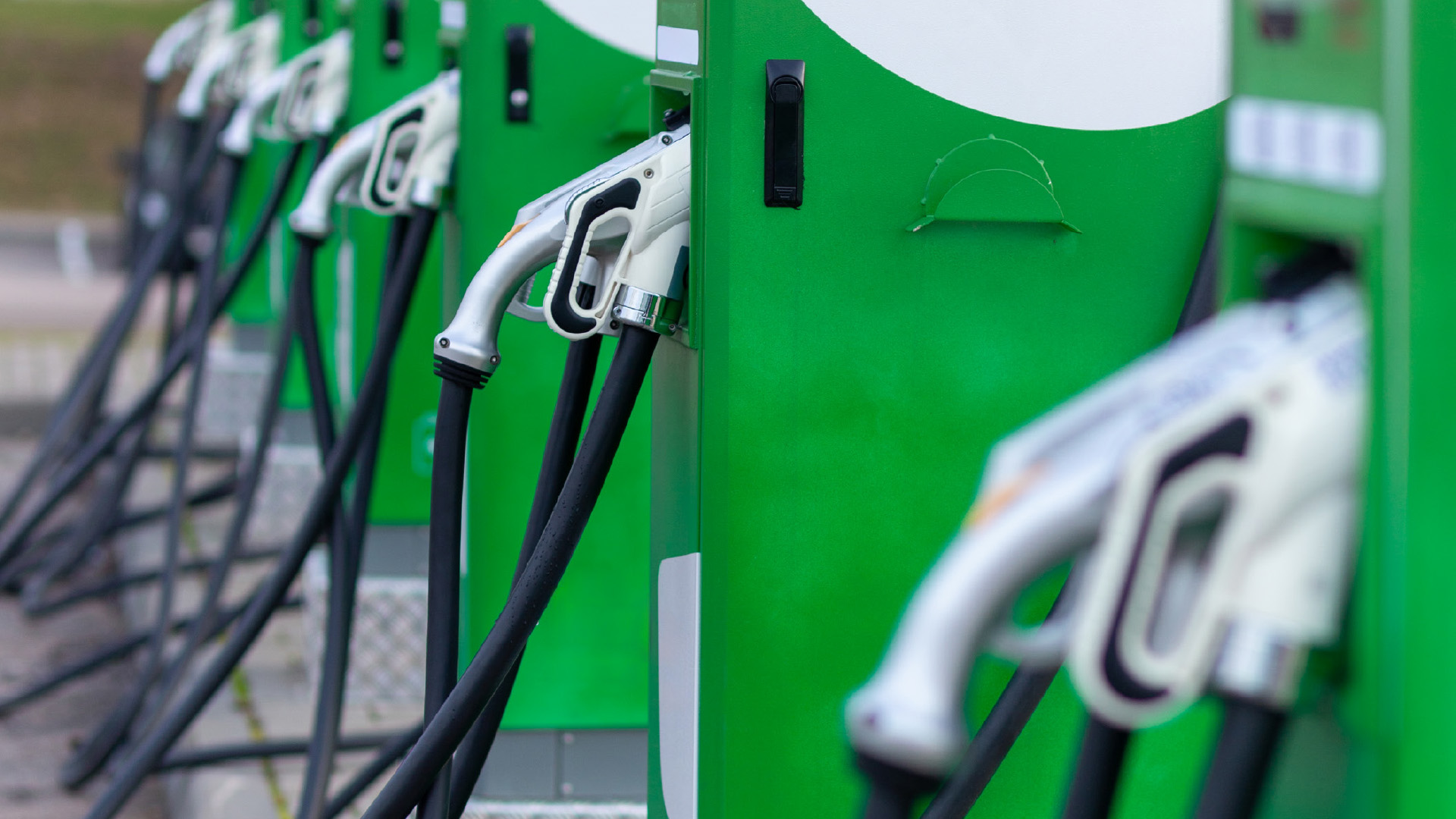
How can GIS aid in developing an EV/ hydrogen economy?

Already in network planning, we are seeing that with more renewable energy ingestion in the network, there is a timing issue. There is both a spatial and temporal challenge, unless represented on a map. GIS can help us understand where is the power coming from? When is it coming? What will be the alternate feed? If there is a feeder which is getting fed by renewable energy in the daytime, where is the feed coming from? This requires a clear load flow study to understand where the alternate source is, whether the alternate source will be overburdened by supplying to multiple feeders in the night, etc.

All this decision making can only happen when you have the proper maps in place, proper tools to analyze. With renewable energy, the importance of integrated decision-making has only grown. Conventional power was one way, now the flow is bidirectional, now there are prosumers who will be supplying power to the grid in turn. So, this makes for very complicated grid economics, but that can be solved when you have the right load flow, right representation. GIS only gets more essential from here.

How’s the integration of GIS and AI useful for organizations like PFC?

Today, there is a lot of input that is coming in, in terms of visual data, there is satellite imagery, there is LiDAR based data, there is drone based data. Thus, the absolute data size is mind boggling. To manage this large amount of data effectively, to avoid false positives, we need to train our models better. We can achieve this with the application of AI. 

To keep both DISCOM and company personnel engaged, the data must be accurate, high-quality, and capable of generating reliable insights for better decision-making. The accuracy range has to go from 10 20% to say 70-80%. AI can help us in achieving that. If you are able to train your models better and better, the accuracy improves. If the events are reduced, then you are getting more accurate events and you are able to decide on them more effectively.


To download the PDF version of this article, click the button below.