case study web banner image

GIS IN EDUCATION

Indian Institute of Petroleum and Energy: Preparing Tomorrow’s Energy Leaders

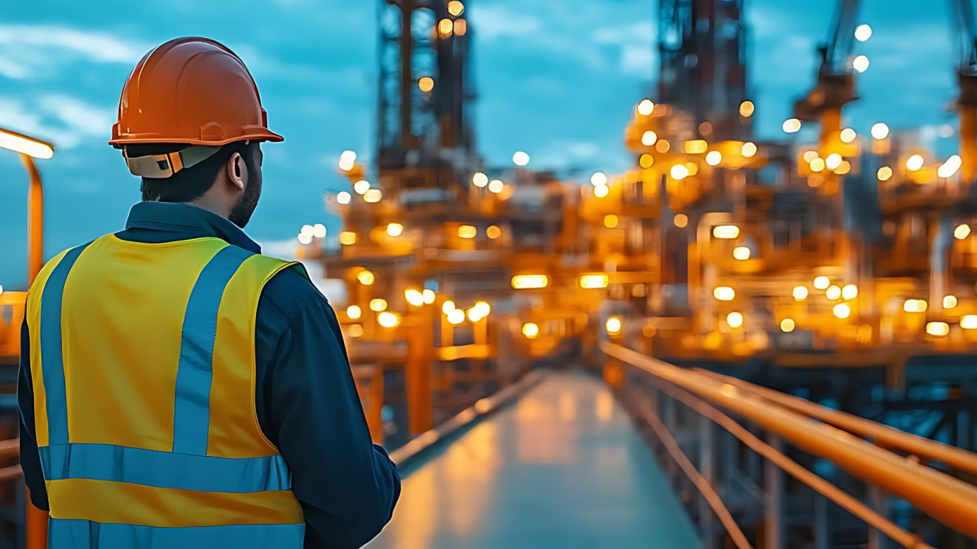
How is GIS being used to address real-world challenges such as energy exploration, pipeline management, or environmental monitoring?

GIS is playing a transformative role in addressing real world challenges across the energy sector by enabling better visualization, analysis, monitoring, and decision making using spatial data. GIS complex technical data into intuitive maps, dashboards, and models that help engineers, administrators, policymakers, and communities make informed decisions quickly and effectively.

In petroleum, renewable energy, and environmental management, most datasets are geographically linked, making GIS an essential technology. In oil, gas, geothermal, and critical mineral exploration, GIS helps integrate geological maps, geophysical surveys, well logs, and remote sensing datasets. This integration supports basin analysis, prospect identification, reservoir characterization, and reduction of exploration risk.

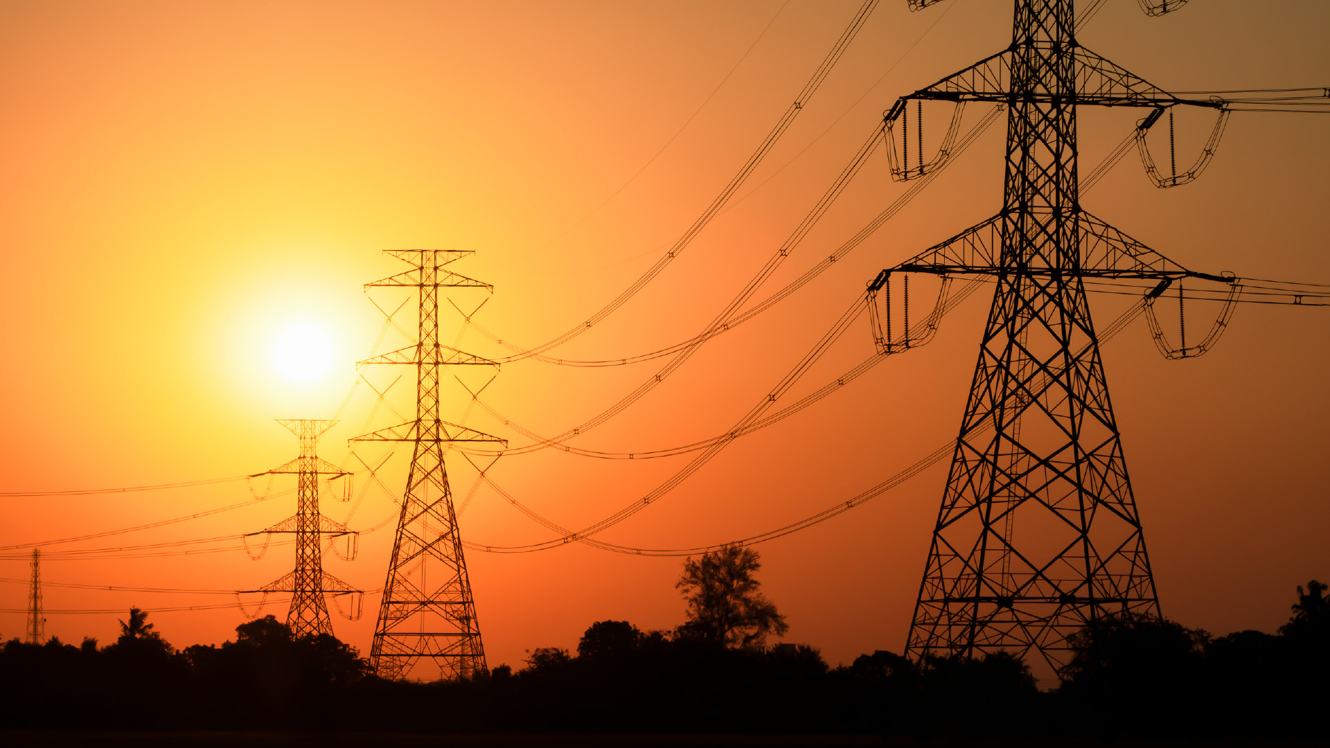
GIS is also widely used for solar radiation mapping, wind resource assessment, green hydrogen potential studies, site suitability analysis for renewable energy projects, and transmission and infrastructure planning. It helps identify locations that are technically efficient, economically viable, and environmentally sustainable.

Pipeline systems extend across complex terrains and environmentally sensitive areas. GIS assists in optimal pipeline route selection, terrain and hazard analysis, monitoring encroachments and right-of-way issues, leak detection and emergency response planning, and asset integrity management. When integrated with IoT sensors and satellite monitoring, GIS enables real-time pipeline surveillance.

Environmental, Social, and Governance (ESG) compliance is becoming critical for energy industries. GIS is extensively used to monitor and manage environmental impacts through Environmental Impact Assessment (EIA), oil spill tracking, coastal zone monitoring, groundwater and air quality analysis, land-use and ecosystem studies, and climate vulnerability assessment. It helps industries comply with environmental regulations and supports sustainable development. It is also getting increasingly used in carbon capture and storage (CCS) site screening, methane emission monitoring, carbon footprint mapping, energy transition planning, and creating sustainable urban energy systems.
Over the years, have you observed a mindset change in students toward learning technologies like GIS? Why do you think these changes are occurring?

There has been a noticeable shift in the way students perceive GIS, and this is mainly driven by the change in professional practice. Unlike earlier times, even the smallest of companies and startups in any sector look forward to hiring a graduate with a basic GIS skillset these days. This has eventually given rise to the interest of students from various disciplines to learn GIS and apply it in their work. Especially in the urban sector, governments have started putting in the requirement of GIS-based mapping in many projects. This is a very strong motive due to which the students are interested in learning it. At the same time, even professionals are interested in gaining GIS Certification as it has become an essential skill. 

There are prospective students who look forward to GIS beyond a mere tool to conduct their mapping tasks and intend to pursue a Master’s degree in GIS and Remote Sensing. This is due to the growth in the geospatial industry with strong career opportunities, data-driven decision-making, interdisciplinary applications, and emerging technologies GIS IN EDUCATION The National Geospatial Policy enlists an important milestone using UAVs, AI, ML, IoT, Big Data Analytics, etc. The geospatial industry is witnessing significant development, slowly becoming an integral part of planning, governance, and data-driven development.

At CEPT, what steps are taken to align GIS training with evolving career roles in urban planning and governance?

At the university, we have a studio-based learning pedagogy which is a combination of classroom-learning, peer-learning, hands-on learning, and industry engagement. Students identify real-world issues in the study areas, conduct analysis using various tools and techniques, including geospatial tools, and come up with final proposals to address the issues. Input from the industry is in the form of expert sessions conducted throughout the process by practitioners. 

Studios themed ‘GIS for smart cities’ and ‘Urban Digital Twins’, alongside the other planning-oriented studios, offer an opportunity for the students to understand the applicability of GIS in urban planning and governance. Students closely observe the challenges in urban governance and try to address them using GIS-based solutions, including Apps and Dashboards. For 3D Modelling, different interfaces like City Engine, ArcGIS Pro 3D, and Revit are explored, post which 3D-based solutions for particular study areas are developed. The curriculum of the Master’s programs at the university is designed and updated continuously to reflect emerging industry trends and professional practices, enabling students to graduate as industry-ready professionals.

Overall, GIS has evolved from a mapping tool into a strategic GIS IN EDUCATION decision-support system that connects exploration, infrastructure, sustainability, safety, and digital intelligence across the modern energy ecosystem.

What future advancements do you foresee in GIS applications for petroleum, energy transition, and sustainability?

GIS is expected to evolve from a visualization tool into an intelligent decision-making platform for the global energy ecosystem. When integrated with Artificial Intelligence and Machine Learning, GIS will enable automated seismic interpretation, predictive exploration of hydrocarbons and critical minerals, smart reservoir characterization, real-time anomaly detection in pipelines and infrastructure, and faster environmental risk prediction. AI will significantly reduce interpretation time and improve accuracy. GIS combined with robotics and AI may support semi-autonomous exploration and monitoring systems where drones conduct surveys automatically, AI identifies exploration targets and real time geospatial analytics guide drilling operations.

Future energy systems will also increasingly use Digital Twins connected with GIS for smart oilfields and refineries, offshore platform monitoring, pipeline integrity management, urban energy systems, and smart campuses and industrial infrastructure. These virtual systems will simulate real-world operations continuously using live data.

Also, as billions of IoT devices and remote sensors will continuously feed spatial data into GIS platforms, we will have real-time production optimization, leak and methane emission detection, predictive maintenance, environmental compliance monitoring, and automated safety systems. Future GIS may also integrate with augmented reality (AR), virtual reality (VR), and immersive visualization systems, enabling engineers and decision-makers to interact with complex subsurface and infrastructure models in real time.

Overall, the future of GIS lies in intelligent, real-time, and predictive geospatial systems that will help industries achieve safer exploration, cleaner energy production, improved sustainability, and smarter management of Earth’s resources.

How is GIS incorporated into your curriculum across undergraduate, postgraduate, or doctoral programs?

At Indian Institute of Petroleum and Energy (IIPE), GIS applications are integrated across undergraduate, postgraduate, and doctoral programs to support geoscience, petroleum, and energy-related studies. The curriculum emphasizes both theoretical understanding and practical application of spatial analysis tools relevant to industry and research.

In the B.Tech. programs, GIS concepts are introduced through courses and laboratory sessions related to Earth sciences, and spatial data analysis. Students are trained in basics of GIS and Remote Sensing, spatial data interpretation and visualization, and applications in petroleum exploration. 

As part of the M.Sc. Applied Geology program, students learn about various Remote Sensing and GIS techniques, geological and hydrogeological mapping, integration of field, satellite, and geospatial datasets, and GIS-based applications in mineral exploration and environmental geology.

GIS is also widely used as a research and analytical tool in doctoral studies. Scholars apply GIS in spatial and geostatistical analysis, hydrogeological and environmental modelling, geological hazard and resource mapping, basin and reservoir characterization, and integration of GIS with remote sensing, geophysical, and numerical modeling techniques.

Overall, GIS education at Indian Institute of Petroleum and Energy is designed to progressively build spatial analysis capabilities from foundational exposure at the undergraduate level to advanced research-oriented applications at the doctoral stage.

How has GIS training influenced student employability and career opportunities in the energy sector?

GIS training has significantly improved student employability and expanded career opportunities in the energy sector because industries increasingly rely on spatial data, digital mapping, and geospatial intelligence for decision-making.

As GIS education connects geosciences, petroleum engineering, environmental science, computer science, economics, and policy studies, it creates interdisciplinary energy professionals.

Students trained in GIS gain practical skills in spatial analysis, mapping, remote sensing, and data integration using platforms such as ArcGIS. These skills make them employable not only in oil and gas companies but also in renewable energy firms, government organizations, environmental agencies, urban planning bodies, disaster management agencies and research institutions and startups. Additionally, since GIS technologies are used worldwide, students trained in geospatial methods can compete for international opportunities in energy exploration, environmental monitoring, and sustainability projects.

Also, modern GIS training often includes drone mapping, satellite data analysis, machine learning, and spatial data analytics. This interdisciplinary exposure helps students fit into Industry 4.0 and digital energy workflows. 

Students with geospatial skills are often preferred for internships, field projects, and funded research because they can handle real-world datasets and produce meaningful spatial interpretations.

GIS training transforms students from conventional domain specialists into multidisciplinary professionals capable of working in modern, data-driven energy industries. This greatly enhances both employability and long-term career growth.


Responses attributed to:
Prof. Shalivahan, Director, IIPE

To download the PDF version of this article, click the button below.