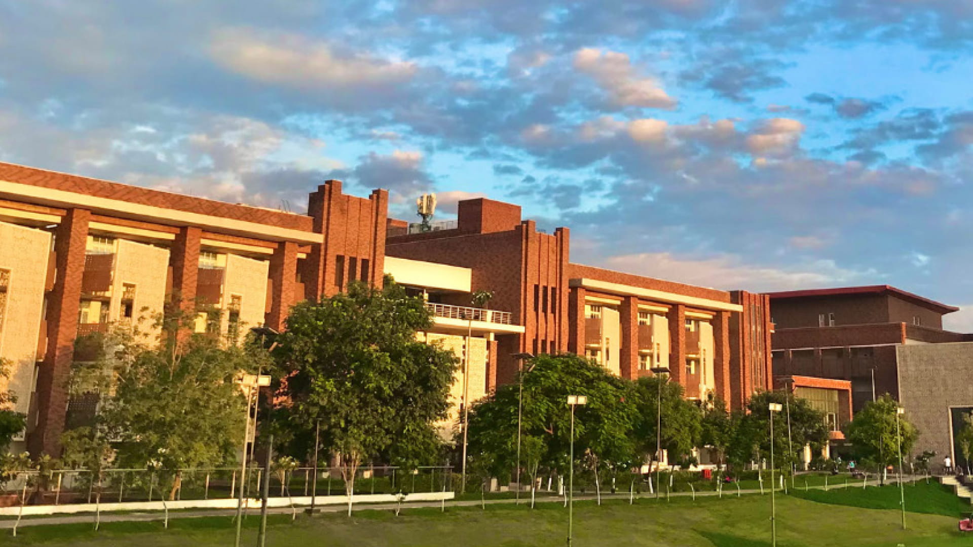
By making GIS accessible to students from diverse academic backgrounds, Ashoka University is preparing graduates who can leverage spatial intelligence to address some of society’s most pressing challenges. GIS is integrated into teaching, research, and social impact initiatives rather than being limited to a standalone technical subject.
As mentioned by Meghna Agarwala, Ph.D., Associate Professor, Department of Environmental Studies, Ashoka University, courses on GIS and remote sensing are open to students from all majors, reflecting the university’s philosophy of interdisciplinary education. Beyond dedicated GIS courses, spatial technologies are embedded into subjects such as earth systems, air pollution, and environmental modelling, enabling students to apply geospatial thinking within broader scientific investigations.
Students from humanities disciplines, including English, Archaeology, History, and Philosophy, are increasingly applying GIS for digital humanities projects. Spatial analysis enables them to study historical landscapes, map archaeological sites, examine cultural heritage, and visualize historical narratives in entirely new ways. Many of these projects go on to become integral components of doctoral research.
Economics students incorporate geospatial datasets into econometric analyses, allowing them to better understand regional development, demographic trends, environmental influences, and socio-economic disparities. By combining spatial data with statistical models, they gain deeper insights into policy and economic questions.
For students in the natural sciences, GIS often forms the foundation of research, capstone projects, and thesis work. Spatial analysis supports investigations in environmental science, ecology, climate studies, biodiversity, and earth systems, helping students model complex natural processes and interpret environmental change.
In addition to courses for undergraduates, the university also offers GIS to students of the Young India Fellowship and to social practitioners through the Professional Education and Development Programme.
This interdisciplinary approach demonstrates how GIS can enrich learning across the sciences, social sciences, economics, and the humanities while fostering innovation, research excellence, and societal impact.
As governments, businesses, and research institutions increasingly adopt GIS, GeoAI, digital twins, and location intelligence, the demand for graduates with spatial thinking skills continues to grow rapidly. Universities have a crucial role to play in preparing this workforce by integrating GIS into mainstream and fostering a culture of using GIS to Innovate. Integrate and Inspire.