CUSTOMER SPEAK

Suez International: Building Smarter Water Utilities with GIS and AI

customer-speak-1.jpg

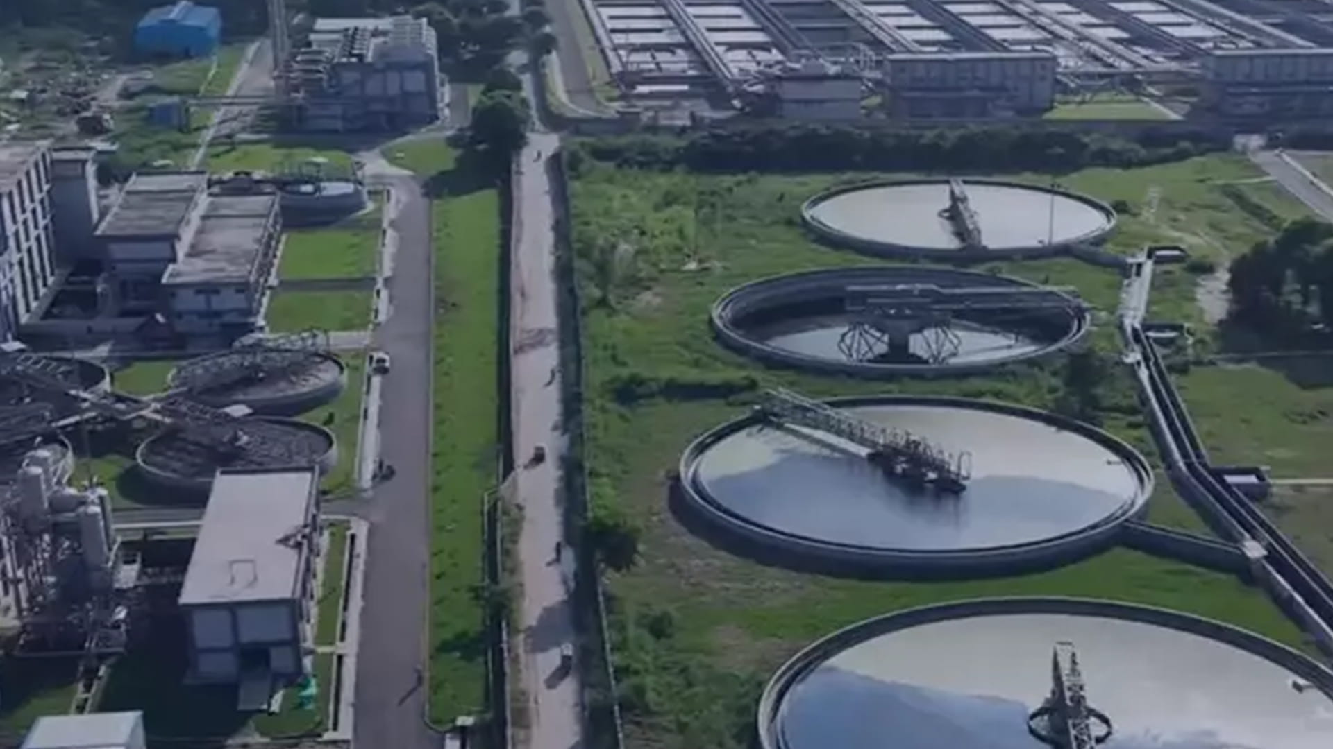
As cities around the world strive to build more resilient and sustainable water infrastructure, digital technologies such as Geographic Information Systems (GIS) and Artificial Intelligence (AI) are transforming the way utilities manage their assets and deliver essential services. In this conversation, Dr. Sandeep Mahajan, Asset Manager at Suez International, shares how GIS has become the backbone of large-scale water and wastewater projects, enabling smarter planning, efficient asset management, and data-driven decision-making. He also discusses the growing role of AI in predictive maintenance and how its integration with GIS can help utilities improve operational efficiency and proactively manage critical infrastructure.
How important is the use of GIS in the utilities industry?

GIS is an invaluable tool for creating, collecting, managing, and analyzing geographically referenced data. It brings together infrastructure, terrain, population, and environmental information on a single platform, enabling utilities to make informed decisions based on location intelligence.

How does GIS support wastewater and stormwater management?

In wastewater and stormwater management, GIS provides a comprehensive understanding of infrastructure, its condition, terrain, and population. Since population directly influences wastewater generation, having all this information in one system allows utilities to plan future infrastructure, optimize operations, and improve service delivery. 

How has Suez International leveraged GIS in its projects?

We have been using Esri’s ArcGIS platform since I joined Suez International in 2012. For large city-wide water distribution projects involving more than 1,000 kilometers of pipeline networks and thousands of customer connections, GIS serves as the foundation for mapping and managing assets.

Beyond mapping, how does GIS add value to your operations?

GIS is much more than a mapping tool. We use it for spatial analysis, asset management, planning, and operational decision-making. Any environmental or utility service that depends on accurate, location-based information can benefit significantly from GIS.

How do you see AI enhancing asset management?

AI has tremendous potential to improve asset management. For example, if AI can analyze photographs or visual inspection data to assess the condition of infrastructure, it could quickly identify deterioration or potential failures without relying solely on manual inspections or physical sampling.

What excites you most about combining AI with GIS?

The combination of AI and GIS can make asset management far more proactive. By integrating image analysis with historical asset data and GIS, utilities can implement predictive maintenance, prioritize investments, reduce downtime, and improve the reliability and longevity of water and wastewater infrastructure.


To download the PDF version of this article, click the button below.