Earlier, most government departments relied on manual processes or basic spreadsheet-based systems. GIS has completely transformed how information is managed and analyzed.
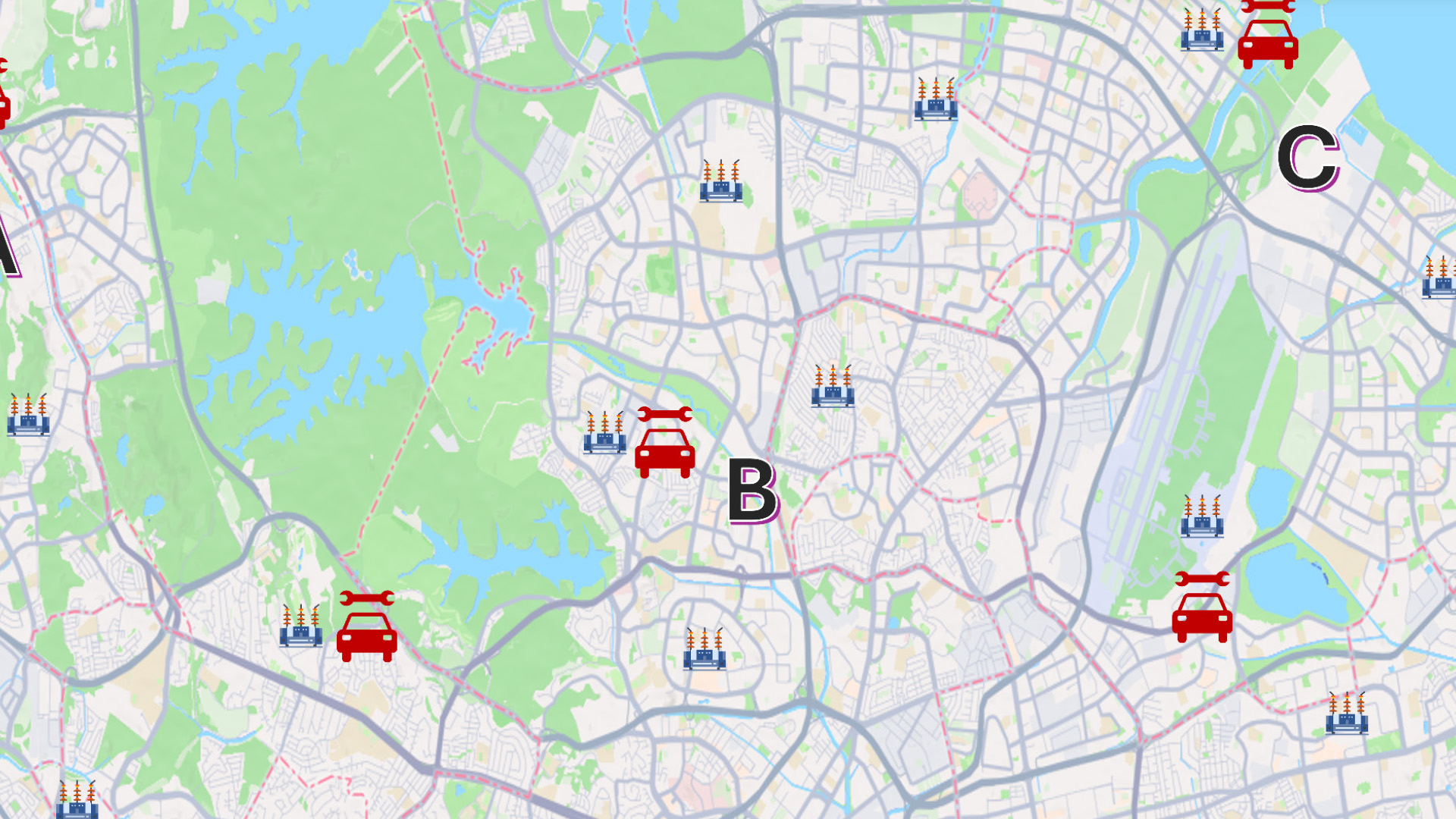
Today, we can accurately locate settlements, link them with multiple attributes, visualize relationships between datasets, and perform complex spatial queries that were previously impossible. This has significantly improved planning, monitoring, and decision-making across departments.
Instead of working with isolated datasets, GIS provides an integrated view of information, helping stakeholders understand patterns, identify issues quickly, and implement more effective solutions.
We appreciate Esri India’s commitment to bringing advanced GIS capabilities to users and enabling organizations like ours to build impactful applications. We look forward to strengthening our collaboration and exploring new opportunities to leverage geospatial technology for better governance and public service.