


Contact Us
Share your details with us.

The market leader in geographic information system (GIS) software, location intelligence and mapping
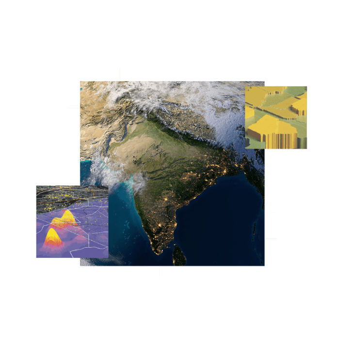

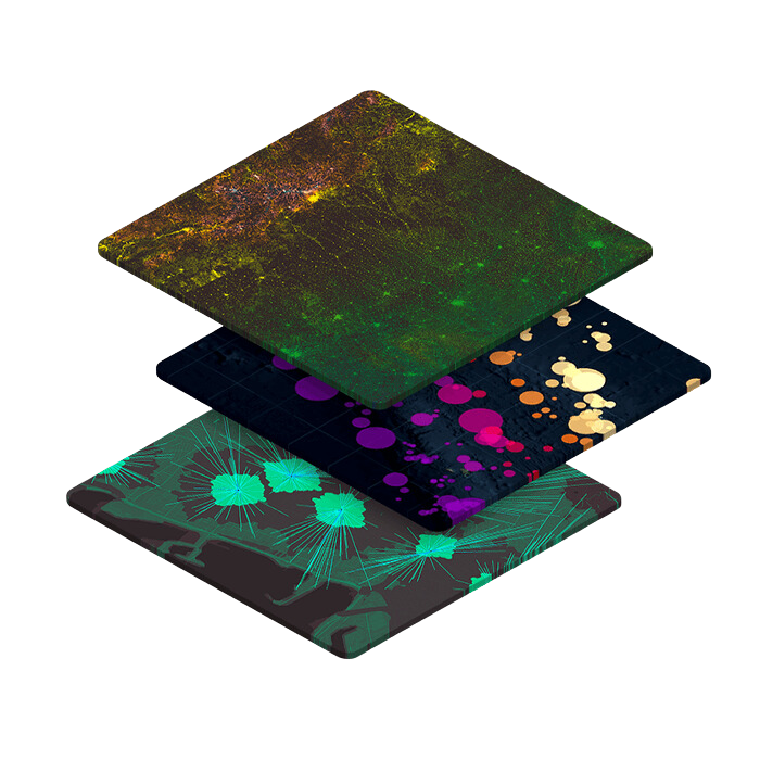
An evolving collection of ready-to-use geographic content for India to create maps, apps, and perform analysis.

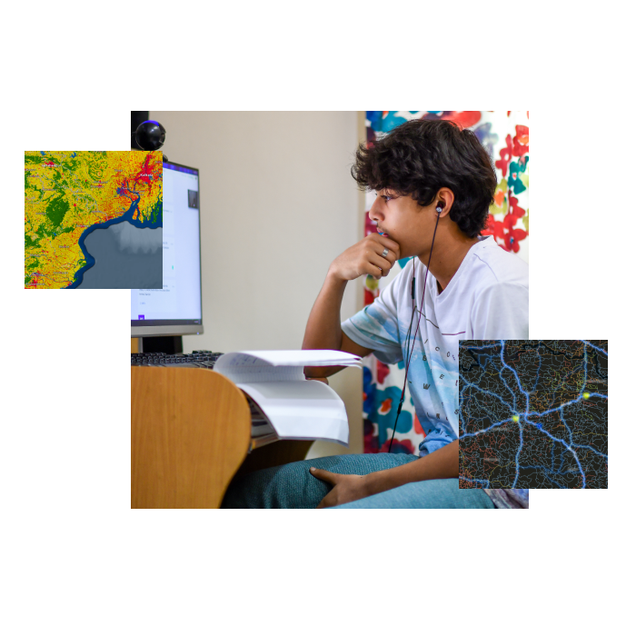

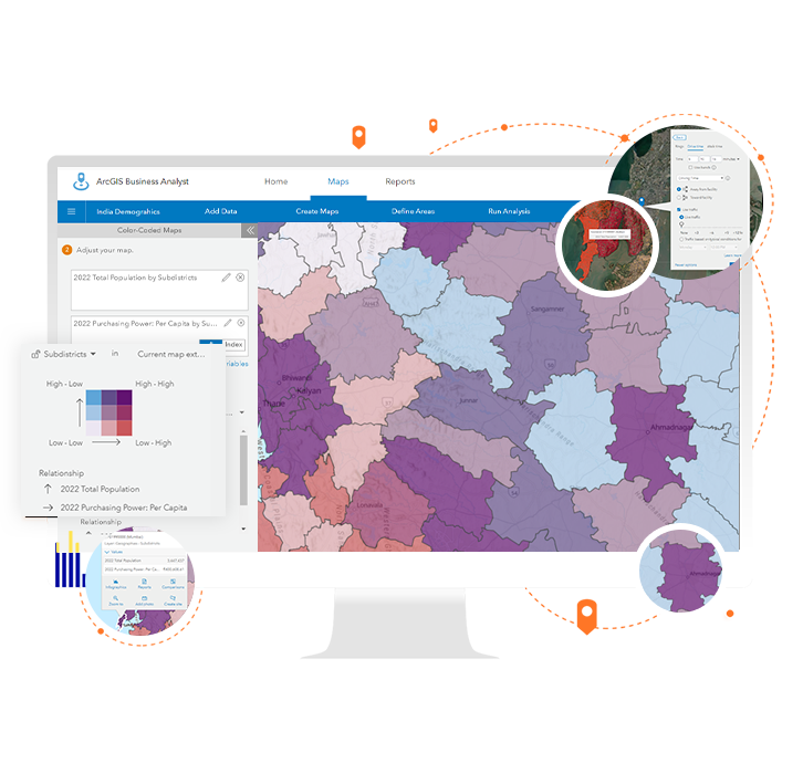
Location-based market intelligence
9:00 a.m.–5:00 p.m., Monday through Friday (IST)