ArcGIS logo

ArcGIS

Esri’s enterprise geospatial platform

What is ArcGIS?

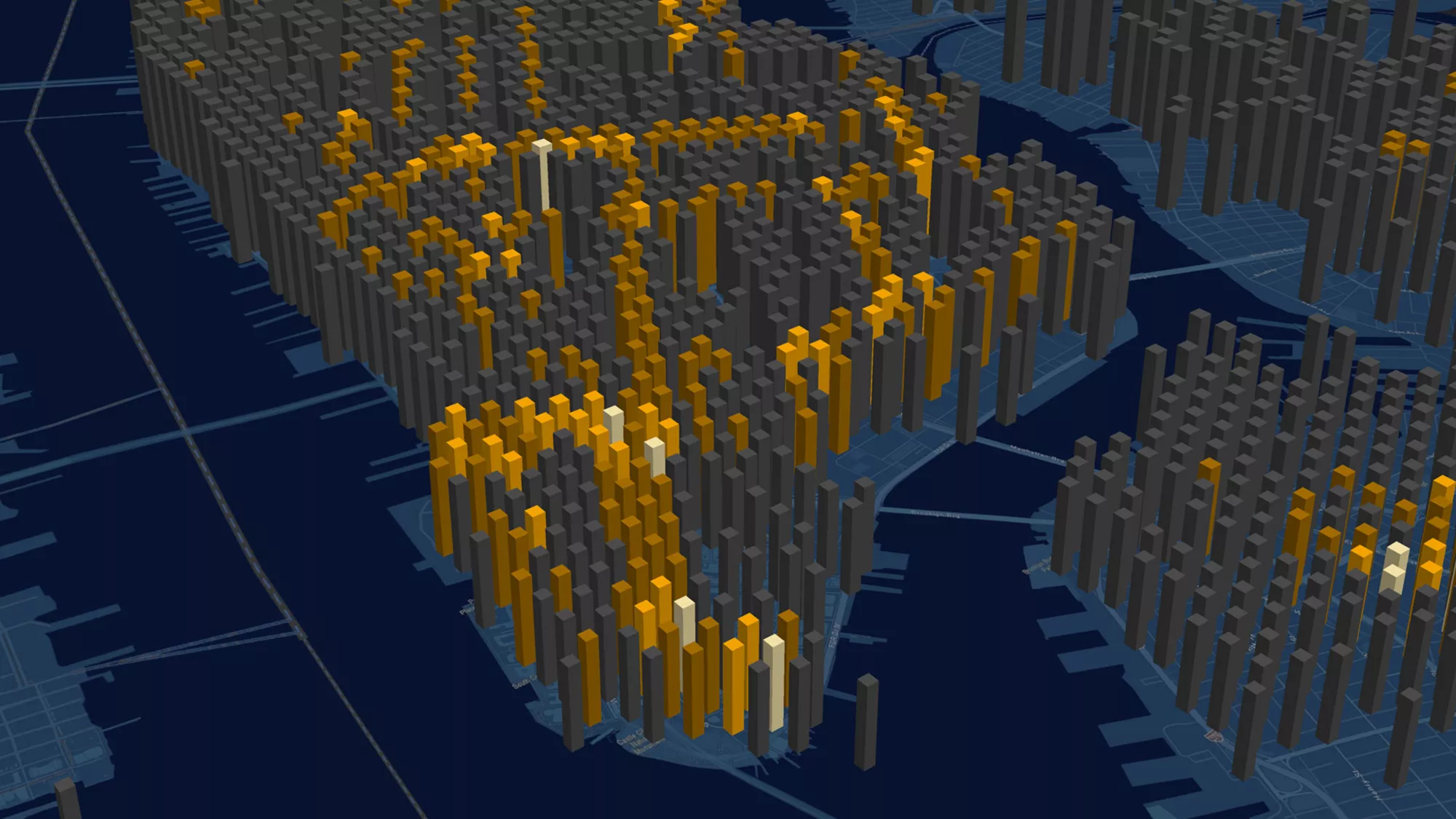
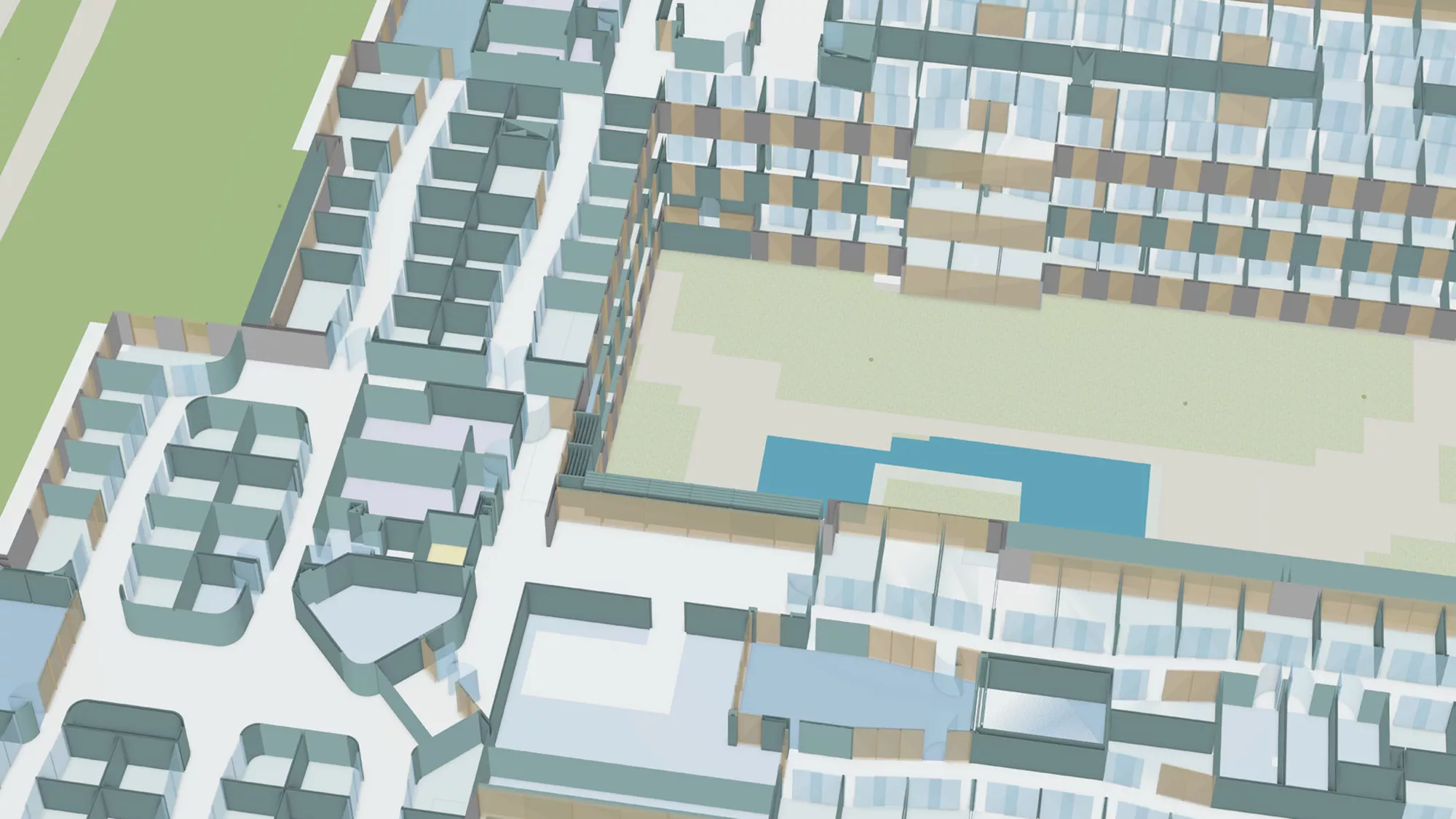
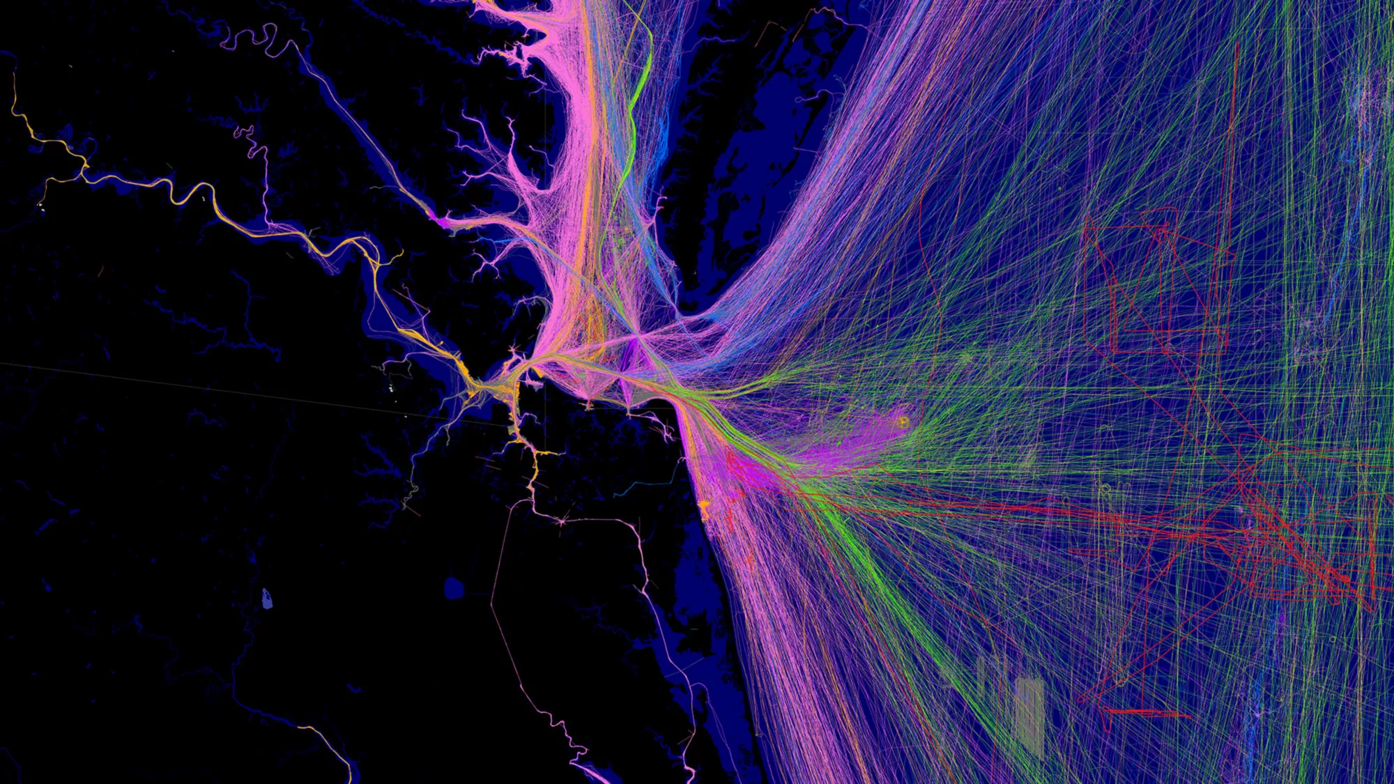
ArcGIS is a comprehensive geospatial platform for professionals and organizations. It is the leading geographic information system (GIS) technology.

Built by Esri, ArcGIS integrates and connects data through the context of geography. It provides world-leading capabilities for creating, managing, analyzing, mapping, and sharing all types of data. 

Organizations that use ArcGIS to understand and analyze their data in geographic context have a distinct advantage and decision-making edge.

ArcGIS supports essential business and government operations

ArcGIS is used by 70% of the largest global companies, 95% of the largest national governments, and 80% of the largest cities. These are some of the most prevalent ways organizations apply ArcGIS to return tangible value.

Previous
Next

Explore how organizations are innovating with ArcGIS

Leading organizations in virtually every field use ArcGIS to solve complex problems across operations. Find out how ArcGIS is being used across industries.

Geography-driven capabilities offer unique advantages

ArcGIS provides capabilities for elevating business practices with geographic context. Capabilities, data, and tools work together within ArcGIS to form insight-generating, problem-solving systems.

Previous
Next

Esri provides customer benefits beyond technology

Access to ArcGIS includes much more than GIS software solutions and services. It connects organizations to Esri’s world-class support, training, and community.

Previous
Next

Get in touch with us

Talk to us over the phone

1800-102-1918

9:30 a.m.–6:00 p.m., Monday through Friday (IST)

Connect Us

Share your details with us

Email Us

Send a message to info@esri.in