
Public Works and Engineering
Three Steps to Prioritize Infrastructure Investment with GIS
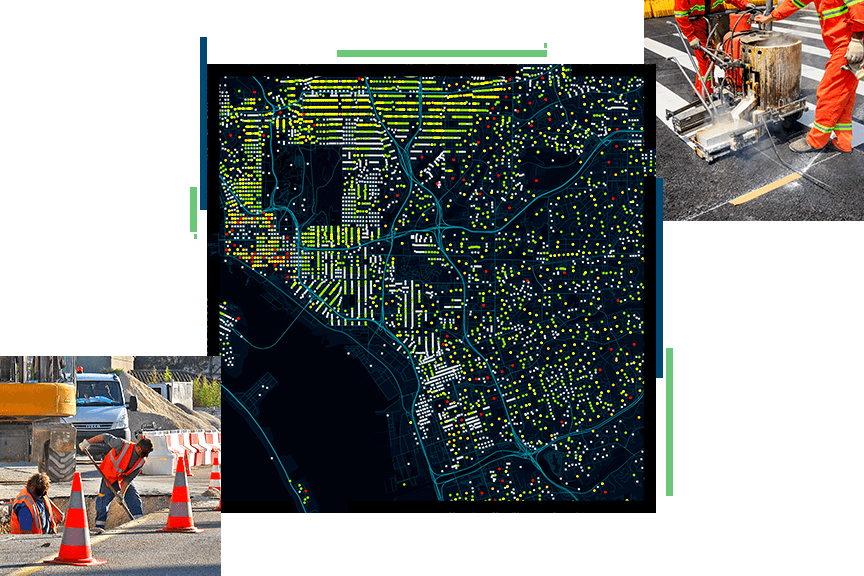
Governments that use GIS in their approach to infrastructure challenges can rebuild by prioritizing their investments; rethinking current infrastructure to meet socioeconomic needs and changing lifestyles; and reimagining their ideas around an Internet of Things-driven, future-ready community.

Request a demo
Please fill out your details below for us to contact you for the demo.
Get in touch with us
Email Us
Write to us at info@esri.in
Call Us
Talk to us over the phone