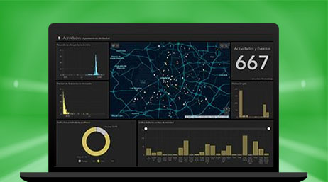
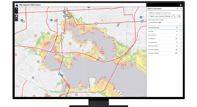
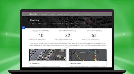
ArcGIS Dashboards
Present data and analytics on an intuitive and interactive screen to visualize trends, monitor status in real time, and inform stakeholders.


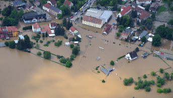
Staff can address safety concerns during severe weather with a location-centric approach. GIS supports planning and response based on weather, traffic, and demographic data that informs which actions should take priority. From snow removal to flood mitigation, damage assessment, and the process of connecting the at-risk to cooling centers, GIS can help you protect lives.
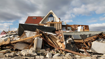
Public works staff play a major role in emergency response during snowstorms, wildfires, hurricanes, floods, and earthquakes. Use data to mitigate impacts. Identify at-risk populations, create evacuation plans, and verify asset sustainability. Create resiliency plans for unplanned incidents such as vector-borne disease, pandemics, and climate-based impacts.
Geospatial data is the common denominator for emergency preparedness because location is essential to every part of planning, response, and recovery. With location-aware dashboards, incident command center leaders allocate teams and resources where they are most needed. With GIS, public works officials can coordinate with other agencies and stakeholders.
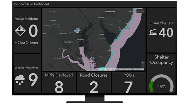
An informed community is a safe community. Apps can push location-based notifications about road closures, shelter locations, storm warnings, and more. By using residents' location in relation to the threat, GIS allows you to notify just the residents affected. But emergency response is a two-way street. GIS allows residents to give feedback on outages, damage, and more.
Explore ArcGIS Solutions and product offerings that enhance emergency response.
ArcGIS Dashboards
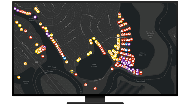
Damage Assessment
Road Closures
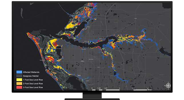
Flood Impact Analysis

Emergency Debris Management
ArcGIS Hub
Please fill out your details below for us to contact you for the demo.
Write to us at info@esri.in
Talk to us over the phone