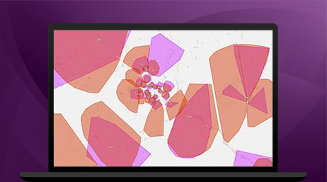
ArcGIS Pro
Support data visualization; advanced analysis; and authoritative data maintenance in 2D, 3D, and 4D.

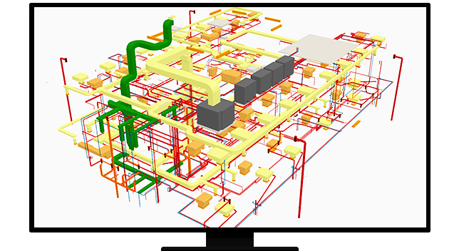
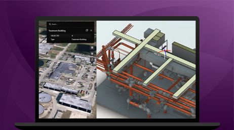
Create intelligent 3D models to plan, construct, and manage buildings

Build intelligent, interactive renderings of your projects that bring together critical building data from multiple silos in disparate formats. ArcGIS GeoBIM allows architecture, engineering, and construction (AEC); real estate; and planning professionals to see how assets will fit and interact within the surrounding neighborhood and infrastructure.
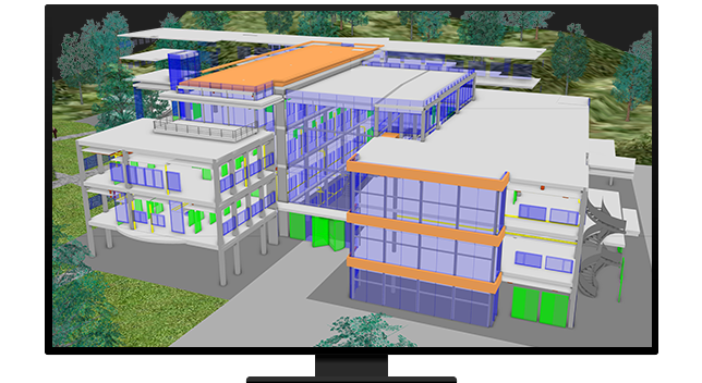
3D visualization allows potential tenants and buyers to virtually tour properties anywhere, on any device. Use Scene Viewer within ArcGIS to create beautiful, 3D-rendered virtual models of homes, office spaces, developments, or neighborhoods. Enable potential clients and investors to envision their future in your space.
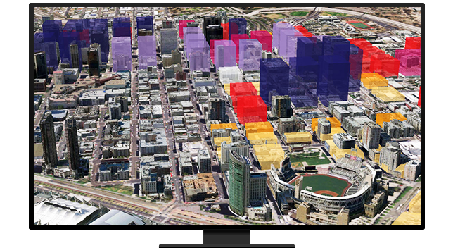
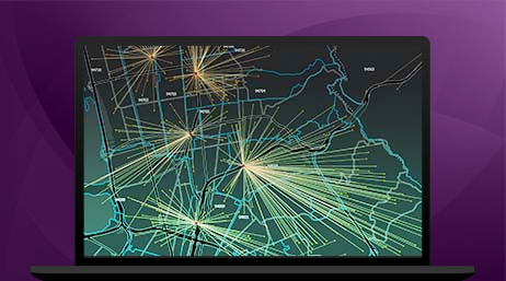
Today, billions of sensors are generating data from smart buildings, assets, and devices around the world. Professionals use ArcGIS to harness that data, enabling strategic decisions about properties and projects. Leverage advanced analytics within ArcGIS—such as machine leaning and artificial intelligence—to reveal patterns, connections, and opportunities from high-velocity data from the Internet of Things (IoT).
ArcGIS Pro
ArcGIS GeoBIM
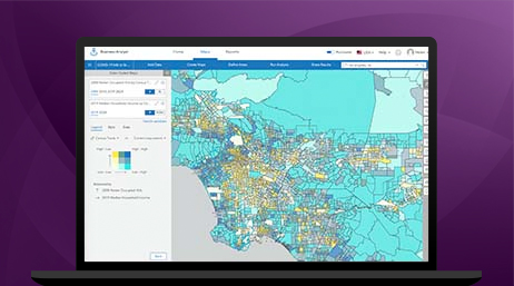
ArcGIS Business Analyst
ArcGIS Online
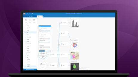
ArcGIS Insights
ArcGIS Velocity
Please fill out your details below for us to contact you for the demo.
Write to us at info@esri.in
Talk to us over the phone