Inform, educate, and empower
Create awareness amongst communities about various health issues.
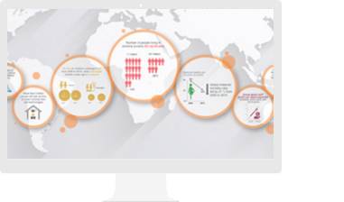
Governments at all scales use GIS to plan, measure and improve operations, and guide policy be it for issues related to demography, strata, or larger issues related to climate change, cleanliness or healthcare accessibility. GIS enables you to prioritize and address public health needs with actionable Information.
FEATURED CASESTUDY
The University of Canberra developed a first of its kind nation-wide geospatial health indicator framework that connects the previously untapped relationship between health and place. The framework considers factors including lifestyle, community and built environment to paint a clear picture of the nation’s health landscape to influence public health policy across local, state and federal government.
Transform your data into maps & actionable information with ArcGIS Pro, Esri’s flagship desktop GIS application.
Improve operational efficiencies in field workforce activities.
Transform how you engage and collaborate with your community.
When disaster strikes, governments need to locate health services, responders, and victims to protect lives, resources, and critical infrastructure. The field needs to look to the future—and that's where GIS comes in.

As the New India Vision pans out across the country, ministries, departments and private sector organisations are being encouraged to use geo-spatial or GIS technology in planning, implementing and monitoring their programs, thus fuelling its growth in India.
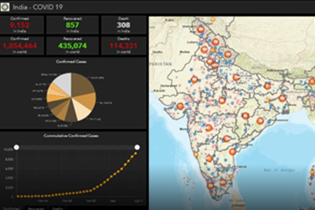
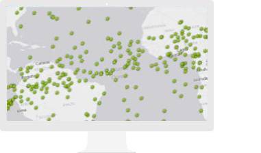
GIS provides the means to map and understand the spread of COVID-19 in space and time so that the decisions can be taken about strategies and measures to control the spread of the pandemic.
GIS based mapping and analysis has been used effectively by WHO, UNICEF and CDC during the outbreak of SARS, Ebola and Zika diseases as well. How is it helping during the COVID-19 outbreak?
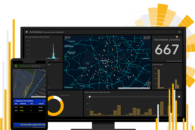
Understand your community with mapping and spatial analytics
Please fill out your details below for us to contact you for the demo.
Write to us at info@esri.in
Talk to us over the phone