Monitor
Monitor health status to identify and solve community health problems.

Devise effective health care strategies for communities. Understand community health challenges and identify where and what interventions are needed.
WHITEPAPER
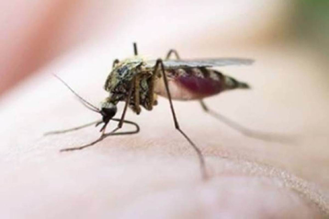
When vector-borne disease outbreaks occur, fast, effective response protects people from infection and its consequences. GIS can help organizations achieve faster, more efficient response by providing a platform that can capture multiple, complementary areas of expertise among epidemiologists, entomologists, health officials and staff, geographers, and others.
Transform your data into maps & actionable information with ArcGIS Pro, Esri’s flagship desktop GIS application.
Improve operational efficiencies in field workforce activities.
Revolutionize decision-making with analysis that visually informs the organization of new, previously unexplored insights gained from the perspective of “where”.
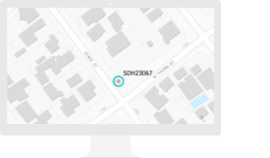
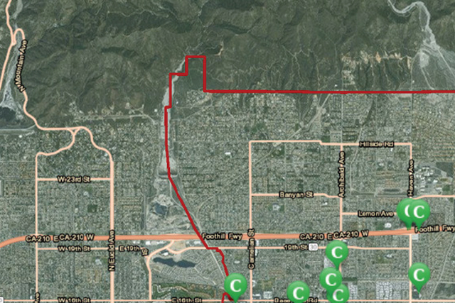
Situational analysis with real-time data in a spatial context is critical to understanding Vector diseases, causative factors and their interrelationships for effective planning, response, decisions and actions for vector control programs.
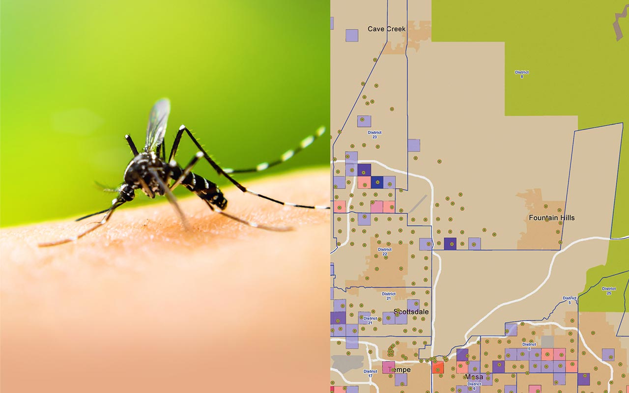
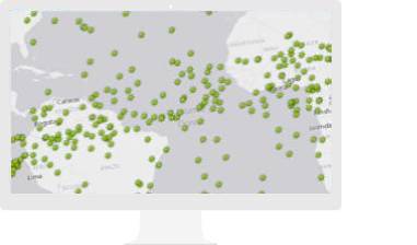
Understanding how GIS addresses the prevention, surveillance, and reporting of Vector-Borne Disease.
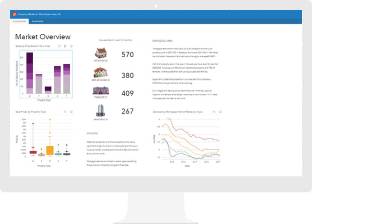
Learn how GIS-based data collection magnifies understanding of health issues and enables intelligence for analysis and sharper decision making.
Find out how GIS can help you be better prepared and stay a step ahead of any disaster.
Understand your community with mapping and spatial analytics
Please fill out your details below for us to contact you for the demo.
Write to us at info@esri.in
Talk to us over the phone