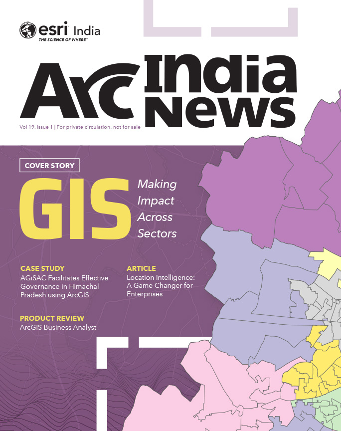
Cover Story
GIS Mapping a Better Future
GIS provides a platform to store, manage, and analyze geospatial data to help make informed decisions in a variety of fields.
GIS IN EDUCATION
Table of contents
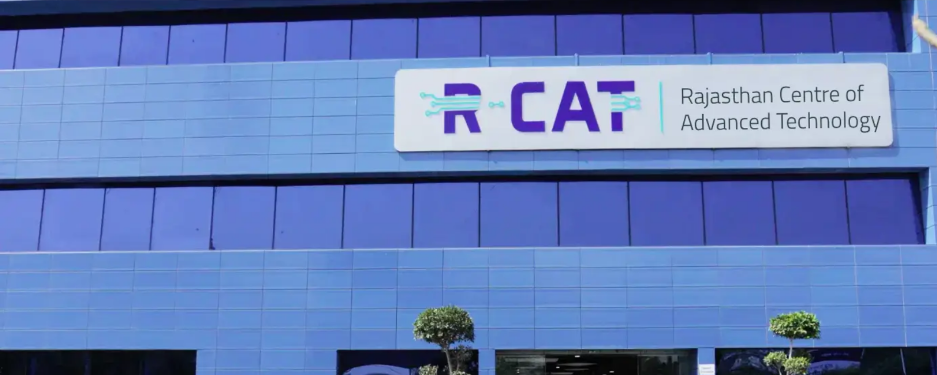
In the heart of Rajasthan, R-CAT (Rajasthan Centre of Advanced Technology) emerges as a beacon of innovation and knowledge. Established by the Government of Rajasthan, it’s not just an institute- it’s a gateway to the future. As a unique IT Finishing School and a Tech Thought Leader, R-CAT engages with key stakeholders in academia, industry, government, and multilateral agencies to strengthen the IT ecosystem in the state and contribute to preparing industryready workforce for Rajasthan, India, and the world.
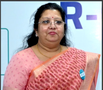
Let’s understand from Jyoti Luhadiya, Executive Director, Rajasthan Centre of Advanced Technology & Technical Director, Department of Information Technology and Communication, Government of Rajasthan, how R-CAT, in collaboration with Esri India is diligently working towards creating avenues for the state’s youth to build their GIS capabilities and be future-ready.
R-CAT is dedicated to empowering students and young professionals by offering specialized training in cutting-edge technologies, including Geographic Information Systems (GIS), Big Data Analytics, Robotics, etc. Through a combination of practical and theoretical sessions, R-CAT provides an environment where students can develop critical thinking, problem-solving skills, and technical expertise. The focus is on preparing the youth to meet industry demands, enabling them to contribute meaningfully to society and enhancing their employability in a rapidly evolving job market.
The collaboration between R-CAT and Esri India aims to bridge the gap between academic knowledge and industry requirements by providing students with hands-on experience in GIS technology. This partnership is designed to enhance the technical proficiency of students, making them industryready. By leveraging Esri’s expertise, R-CAT aims to deliver top-notch training programs that align with global standards, ensuring that students are well-prepared to tackle real-world challenges in their careers.
Advanced learning opportunities in GIS technology are essential for the youth as they open doors to a multitude of career paths in various sectors, including urban planning, environmental management, and disaster response. GIS skills are increasingly in demand as they play a pivotal role in decision-making processes across industries. By equipping the youth with these skills, R-CAT empowers them to be innovators and leaders in addressing complex local as well as global challenges, thus contributing to the development of a sustainable future.
Possessing GIS knowledge and skills equips students with the ability to create & analyze spatial data, identify patterns, and make informed decisions. This expertise is valuable across multiple disciplines, from urban planning to natural resource management. By mastering GIS, students gain a competitive edge in the job market, as these skills are highly sought after by employers in the government as well as the corporate sector. Moreover, GIS proficiency enables students to contribute to community development projects, enhancing their professional growth and societal impact.
GIS skills are increasingly in demand as they play a pivotal role in decision-making processes across industries. By equipping the youth with these skills, we empower them to be innovators and leaders in addressing complex local as well as global challenges, thus contributing to the development of a sustainable future.
As GIS technology converges with AI, Digital Twins, IoT, and other emerging technologies, industry-academia partnerships must evolve to foster interdisciplinary learning and research. These collaborations should focus on developing curricula that incorporate these advanced technologies, ensuring that students are well-versed in the latest industry trends. Additionally, partnerships should facilitate internships, projects, placements and real-world problem-solving experiences, enabling students to apply their knowledge in practical settings. This approach will help produce a workforce that is adaptable, innovative, and prepared to lead in a technology-driven world.
R-CAT is committed to continuously updating its training programs to incorporate the latest technological advancements, including AI, GeoAI, machine learning, and big data analytics, alongside GIS. The institution plans to introduce more specialized courses and certifications that align with industry demands. R-CAT also aims to strengthen its collaborations with global technology leaders and educational institutions providing students with exposure to international best practices. By fostering a culture of continuous learning and innovation, R-CAT ensures that its students are not only technology-savvy but also future-ready, capable of leading the charge in the digital transformation of various industries.
To download the PDF version of this article, click the button below.
GIS provides a platform to store, manage, and analyze geospatial data to help make informed decisions in a variety of fields.
The MCD GIS citizen portal is a step towards better governance taken by the Municipal Corporation of Delhi to allow the citizens of Delhi to avail various services through an easy-to-use interface along with geo-referential data.