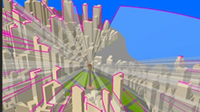
ArcGIS 3D Analyst
Use a realistic perspective to analyze your data.

The world's leading GIS software
Mash up multiple data sources to make maps that are as smart as they are beautiful. Use powerful 2D and 3D analytical tools to identify patterns and trends. Then put this information to good use by sharing it within your organization, online, and through mobile apps.
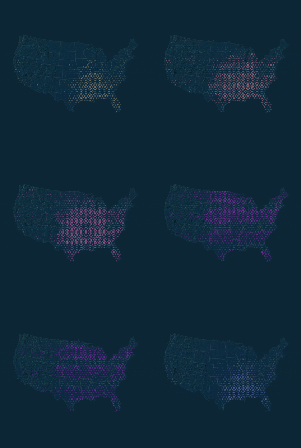 Cartography and Visualization
Work with intuitive and intelligent cartography tools at any map scale to create amazing 2D and 3D maps for print, apps, dashboards, and the web.
Find out more Analytics and Data Science
Discover the world around you. Use scientific analytical tools on 2D, 3D, and real-time data to identify patterns, make predictions, and answer questions.
Find out more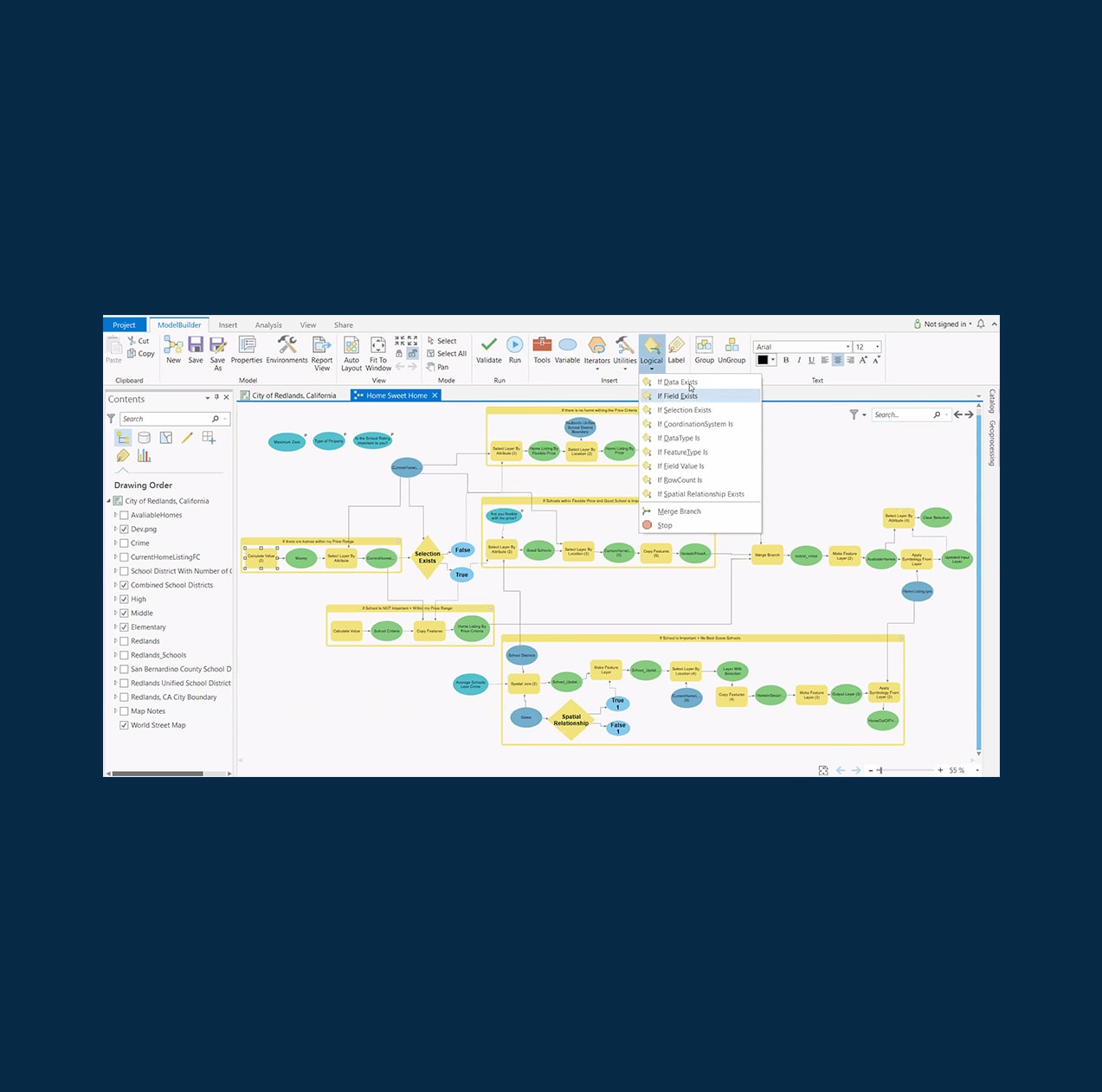 Automation
Improve the efficiency and accuracy of your tasks, workflows, and analysis with automation tools.
Find out more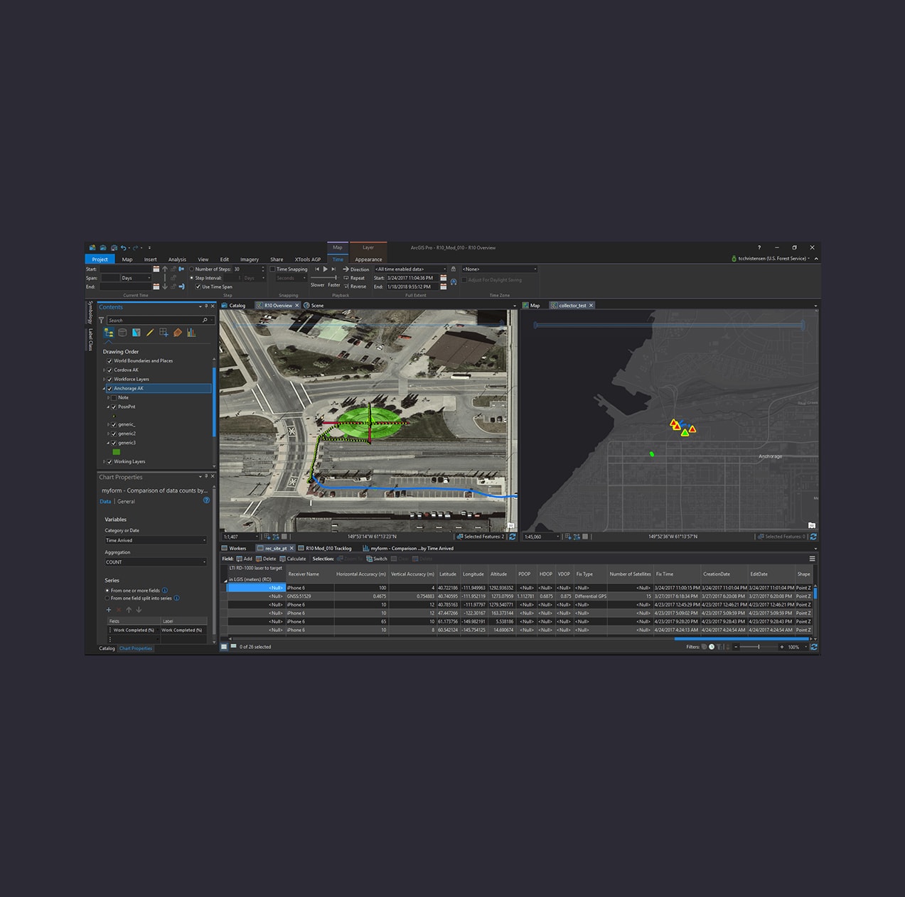 Data Management
Ensure data integrity and accuracy with a complete set of tools for storing, editing, evaluating, and managing all kinds of spatial data—including real-time and big data.
Find out more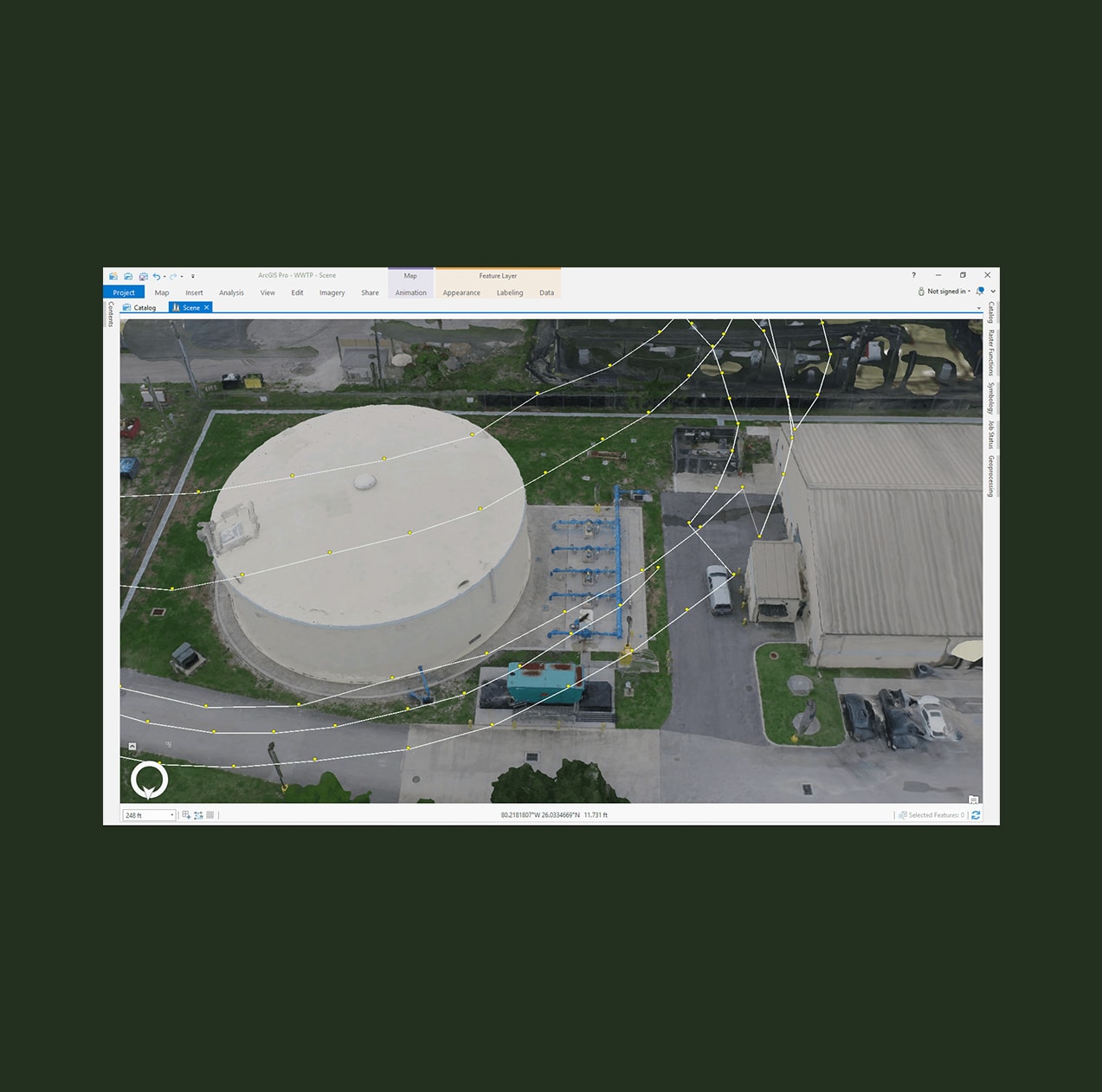 Imagery
Drones, satellites, aerial, video, lidar, and more, ArcGIS Pro provides powerful tools to manage and analyze imagery.
Find out more Artificial Intelligence (AI)
Blend IoT data, GIS-driven location intelligence, and artificial intelligence (AI)-powered algorithms and deep learning models to drive insight, establishing patterns and relationships, and make smarter decisions.
Find out more Administration
Deploy ArcGIS Pro across your organization using tools that are secure and scalable in either physical or virtual machines.
Find out more Customize and Extend
Extend and tailor ArcGIS Pro with add-ins and configurations developed with the ArcGIS Pro SDK for .NET.
Find out more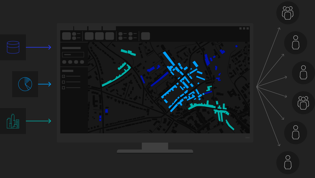
Combine data from various sources and formats. ArcGIS Pro supports industry and community standards to ensure inclusion of any dataset you have.
Display data in 2D and 3D simultaneously. Manage multiple maps and layouts in a single project-based workflow.
Simplify data editing and analysis with context-sensitive tools. Perform interactive 2D and 3D analysis. Automate work with ModelBuilder or Python.
Publish maps and analysis results as web services or high-quality prints. Share maps and data on ArcGIS Online, ArcGIS Enterprise or as a package.
Purchasing ArcGIS Pro gets you not just the world's most powerful desktop GIS, but also access to a suite of apps, tools, and data.
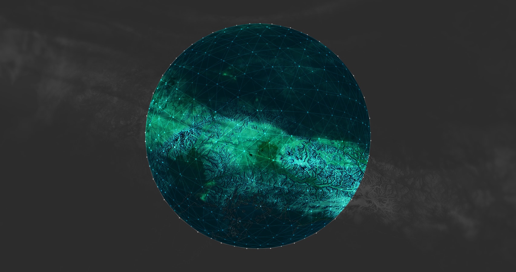
Connect people, locations, and data using ArcGIS Online. Manage your content in the cloud and share your work with the world on the web, apps, and social media.
Learn about ArcGIS OnlineEnhance your maps with the foremost collection of geographic information from around the globe; access basemaps and integrate data from authoritative sources.
Learn about ArcGIS Living AtlasJumpstart your workflows with ArcGIS Apps to provide insights and solutions for people in the field or the office.
Learn about ArcGIS AppsBuild your own GIS applications for desktop, web, and mobile devices with Esri's ArcGIS APIs and SDKs.
Learn about Esri’s Developer Tools
ArcGIS 3D Analyst
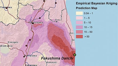
ArcGIS Geostatistical Analyst
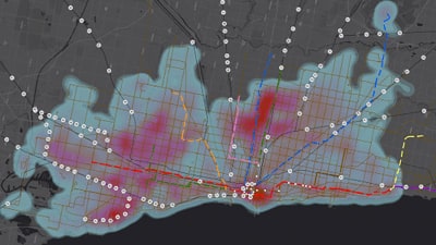
ArcGIS Network Analyst
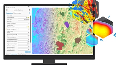
ArcGIS Spatial Analyst
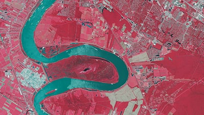
ArcGIS Image Analyst
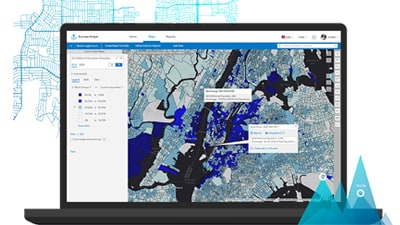
ArcGIS Business Analyst
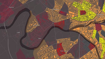
ArcGIS Data Interoperability
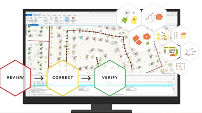
ArcGIS Data Reviewer
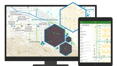
ArcGIS Publisher
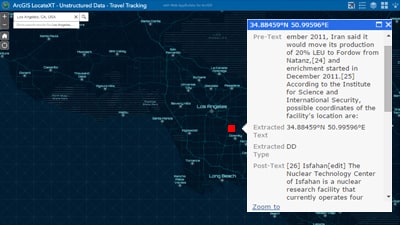
ArcGIS LocateXT
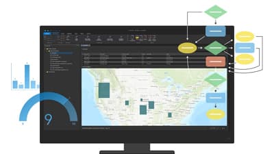
ArcGIS Workflow Manager
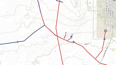
ArcGIS Pipeline Referencing
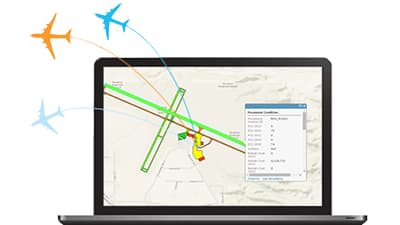
ArcGIS for Aviation: Airports
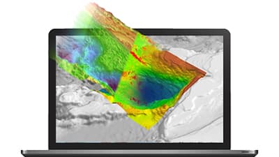
ArcGIS for Maritime: Bathymetry
Get answers for your product, industry or technical inquiries
Share your details with us
Talk over the phone