Esri's ArcGIS software lets you understand assets in real time, whether they're moving or stationary. Gain full visibility of your operations to improve service, safety and reliability.
SUCCESS STORY
BART delivers data and maps anywhere, anytime.
Leaders at San Francisco's Bay Area Rapid Transit (BART) use GIS to move 450,000 commuters a day safely and efficiently. Real-time data available on any device saves time and money across the organization.
Planning
Bring all your information together to design optimal routes and improve performance.
Infrastructure/asset management
Understand the condition of your assets and increase asset performance.
Operations and performance
Integrate real-time information to see the full picture of your operations.
Safety and security
Use a real-time common operational view to protect people and assets.
Previous
Next
Specialized apps
ArcGIS Network Analyst
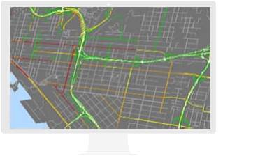
Plan routes that maximize the value of your resources and best serve customers.
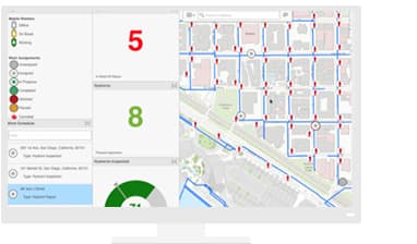
Explore how Esri technology can help you deliver better service at lower cost, increase citizen involvement and agency transparency, and result in high-quality public transportation options.
Download Whitepaper
BROCHURE
Your Ticket to Smarter Service
Discover how Esri ArcGIS can Esri’s ArcGIS can transform public transportation agencies.
Read more
FEATURE
Modernizing Railways with GIS
Location is vital to many of the operations that railways / metro needs to carry out, hence, the use of GIS is the optimal means for centralizing and coordinating these activities.
Read More
Find out how Esri India can help your organization