CUSTOMER SPEAK

Transforming Urban Construction in Kerala through GIS-Driven Systems

Introduction

To build safe cities, urban planning authorities must ensure that development activities comply with zoning regulations, building codes, and safety standards. The building permit process in urban administration ensures this compliance. GIS plays an important role in improving the efficiency and transparency of the building permit process. 

In Kerala, this process, along with others, has been modernized through K-SMART (Kerala Solutions for Managing Administrative Reformation and Transformation), a digital governance platform developed by the Information Kerala Mission for local self government institutions.

Santhosh Babu

Let’s explore more about the benefits of the K-SMART GIS application through an interaction with Dr. Santhosh Babu IAS (VRS), Principal Secretary, MD-KSITIL & KFON, CMD & ED-IKM, Head-WNH Project, Vice-Chairman-CMD, Government of Kerala.

What is K-SMART?

KSMART (Kerala Solutions for Managing Administrative Reformation and Transformation) is a data-centric solution that aims to enable smart e-governance for all local bodies, ensuring good governance for citizens. It has been developed by the Information Kerala Mission (IKM). Since Jan 2024, all Urban Local Bodies, and since April 2025, all Rural Local Bodies, run on K-SMART. All 1200 local bodies in Kerala run entirely on K-SMART.

What are the major benefits that this application is offering?

The platform is designed to eliminate manual intervention and expedite the building permit process, enabling easier, more transparent, faster services for citizens. The Building Permit (BP) Module is developed on ArcGIS.

The application offers the following benefits, mainly:

Instant Land Evaluation - “Know Your Land”: Citizens can identify restrictions on their land, such as Coastal Regulation Zones (CRZ), railway, airport, high-tension lines, or eco sensitive zones, using GIS mapping.

Automated Scrutiny: The GIS and e-DCR rule engines automatically verify building plans against regulations, accelerating the approval process.

Transparency and Access: Enables online submission and tracking of applications, reducing the need for physical visits to local offices.

Detailed Site Info: Provides specific data on permissible building height, mandatory setbacks, and land-use zones. Digital Convenience: Features include video call-enabled KYC, online fee payment, and the ability to download approved permits digitally.

“Issued Permit Map”: Allows the public to view nearby issued building permits, ensuring accountability and preventing illegal constructions. 

The K-Map in K-SMART enables citizens to verify details about constructions coming up in their neighbourhood. It ensures relatively easy-to-operate procedures for preparing drawings for rule scrutiny. It enables 100% system-generated scrutiny with no possibility of human intervention at the back end.

How has the K-SMART GIS application improved the speed, transparency, and reliability of services delivered to citizens?

K-SMART has significantly transformed local governance in Kerala by integrating 35+ modules into a single, unified, and digital platform based on microservices architecture and Devops engineering. By shifting from fragmented, paper based workflows to a data-centric, mobile-based approach, it has dramatically improved the speed, transparency, and reliability of services for citizens, businesses, and expatriates. 

Improved Speed of Services: K-SMART has reduced service delivery times from days to hours, or even seconds, for many critical services. For low-risk residential buildings (under 10m height/330 sq.m area), building permits are issued in under 10 seconds through an automated, paperless, and GIS-enabled e-DCR (Electronic Data Collection and Reporting) engine.

Enhanced Transparency: By allowing direct, digital applications, the platform removes the need for intermediaries.

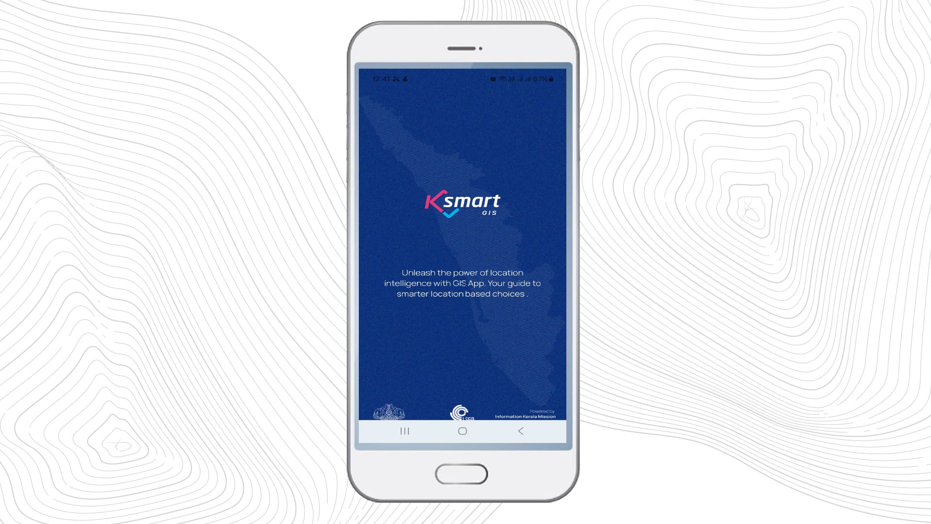
Increased Reliability and Accuracy: The integration of GIS and spatial data has made the services more reliable and data-driven. Using the “Know Your Land” feature, citizens can instantly check spatial regulations (Coastal Regulation Zone, Airport/Railway Zones, etc.) for any plot using GIS, reducing the risk of unauthorized or problematic construction.

Uniformity in Decisions: The system uses uniform, automated rules for processing, reducing human error and discretion, ensuring consistent service delivery.

24/7 Access: Citizens can submit applications or complaints at any time, including weekends and holidays.

Secure Data Storage: K-SMART provides a secure, centralized digital repository for documents, ensuring they are not lost or tampered with. 

WhatsApp/SMS Integration: Keeps citizens informed on the status of their requests.

Through these advancements, K-SMART has enabled a “paperless” and “contactless” interaction with local bodies, significantly improving the overall citizen experience in Kerala.

What new capabilities are planned for K-SMART?

K-Smart is planned to be integrated with multiple systems to enhance data accuracy, service delivery, and decision making. Integration with the Property Tax Module will enable geo-referencing of all individual properties, ensure accurate building identification, improve efficiency in tax collection, and support auto-generated unique building numbering. Through integration with the Public Grievance System module, grievance case locations will be geo-referenced, allowing authorities to make better-informed decisions based on the spatial distribution of reported issues. Integration with hazard mapping systems—covering flood-prone, landslide-prone, and drought-stricken areas will facilitate effective coordination of relief activities and ensure accurate dissemination of compensations. Additionally, integration with the Disease Outbreak Declaring System will support the timely dissemination of information on deceased cases and treatment status, enabling quicker response and improved public health management. A Digi Doorpin module based on GIS is also on the anvil on the K-SMART platform.

e-Governance is old school. K-SMART is our initial step towards adopting s-Governance or Spatial Governance, a-Governance or Algo Governance, and P-Governance or Predictive Governance.


To download the PDF version of this article, click the button below.