ARTICLE

Living Digital Twins for Urban Development

By Rajesh C. Mathur, Senior Director - Strategy, Esri India

Digital Twins are virtual replicas of physical systems that enable real-time monitoring, simulation, and optimization across various domains. By integrating data from sensors, IoT devices, and analytical models, Digital Twins provide a dynamic interface for understanding and managing complex systems. A key advancement in this field is the incorporation of Geographic Information Systems (GIS), which enhances spatial awareness and contextual intelligence.

GIS-enabled Digital Twins not only visualize assets in their geographic context but also support predictive analytics and scenario modelling. Geospatial Digital Twins bridge physical and digital worlds, transforming raw spatial data into actionable insights for industries ranging from utilities to urban governance. By integrating GIS, IoT sensors, and AI, these models mirror real-world systems such as cities, utility networks, building interiors, and natural landscapes with precise spatial context.

What are Living Digital Twins?

A Living Digital Twin is more than a 3D model or a simulation. It is a dynamic, continuously updated virtual replica of a city that integrates real-time data from sensors, CCTV cameras, IoT devices, satellite imagery, GIS platforms, Drones, LiDAR, BIM, and administrative systems. Unlike static digital models, a Living Digital Twin evolves with the city, enabling evidence based planning, simulation, and governance. It is powered by a continuous flow of data and AI-driven analytics. The living aspect allows the virtual model to mirror the exact state and behavior of its real-world counterpart at any given moment. By integrating historical data and predictive modelling, Living Digital Twins can forecast failures before they occur. They are essential for managing complex systems like smart cities, utilities, disasters, the environment, manufacturing plants, and personalized healthcare. 

Living Digital Twins Revolutionizing Urban Development

Urbanization across the world, including in India, continues to grow. It is estimated that 40% of the Indian population will live in urban areas by 2030. As urban populations swell and infrastructure systems become increasingly complex, traditional planning methodologies struggle to keep pace with the dynamic nature of modern cities. Urban local bodies are under immense pressure to improve resource allocation and city management. Traditional planning tools, although effective in certain scenarios, often fall short in predicting dynamic urban challenges.

There is a growing recognition among urban local bodies of the value of leveraging real-time digital data for monitoring the performance of existing citizen services, improving city planning, and optimizing decision-making. By ingesting real-time data, fed by sensors, one can create what if scenarios for amenities, infrastructure, environment, and master plans before real-world implementation. Enter GIS enabled Living Digital Twins that promise to revolutionize the conceptualization, design, and management of urban environments.

These virtual replicas of physical urban systems integrate real-time data streams from multiple sources, including traffic data, SCADA, and sensors on utility networks, camera ARTICLE changes, and redevelopment scenarios in three dimensions. feeds, environment or weather sensor data, and Global Positioning Devices on public transportation systems, creating comprehensive models that enable predictive analysis and scenario testing. Living Digital Twins bring cities to life in the digital realm, continuously mirroring the real-world conditions through live data.

A digital twin can not only strengthen policy formulation and service improvement but also enable urban local bodies to demonstrate more responsive and agile governance that can ultimately maximize impact and value to the communities they serve. By integrating live data, they support smarter planning, proactive governance, and more resilient urban development.

How Digital Twins Can Impact Urban Transformation

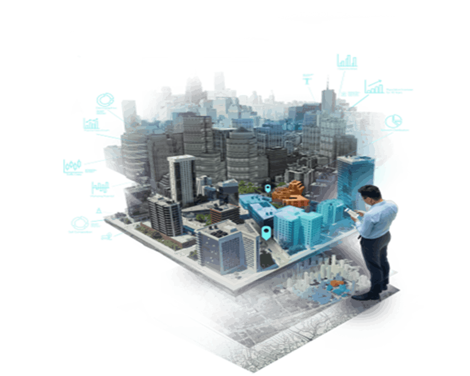
Urban Planning: Digital Twins create virtual models of proposed development plans – roads, buildings, green areas, public transport, amenities like schools, healthcare centers, recreation facilities, utilities, etc., and evaluate the impact on traffic, environment, public utilities, et al, before physical implementation. They support data-driven decision making for sustainable growth. 

In Indian cities, characterized by rapid growth and complex land-use patterns, Living Digital Twins play a critical role in urban planning. They enable planners to visualize and simulate master plans, zoning regulations, Floor Area Ratio (FAR) changes, and redevelopment scenarios in three dimensions. Scenario-based simulations allow decision-makers to assess long-term consequences before implementation, reducing planning risks and improving spatial equity. Planners no longer need to depend on OD Surveys to identify traffic bottlenecks in cities; they are available in real-time over 3D models of cities.

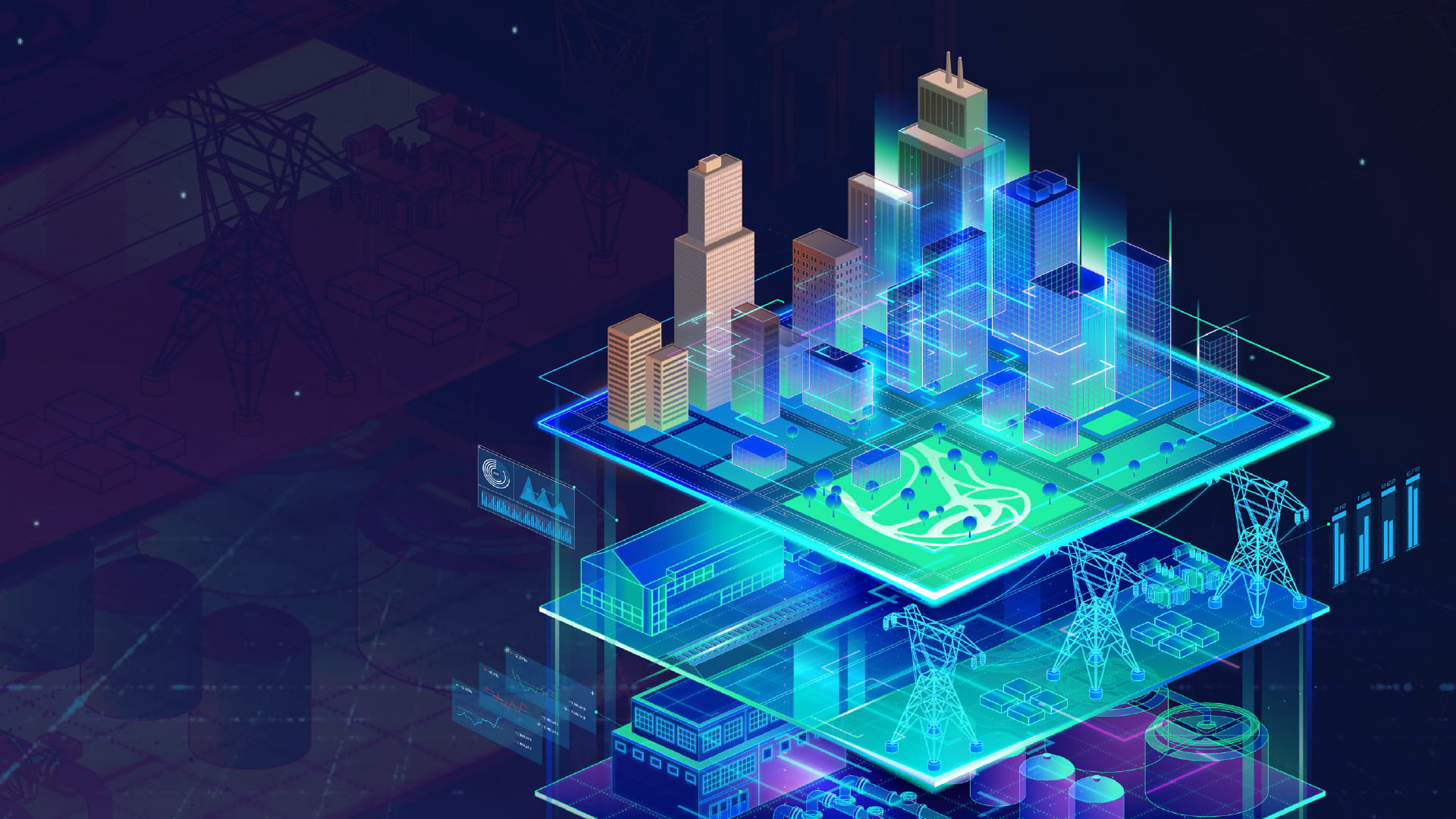
Public Utilities & Infrastructure: Urban infrastructure systems such as water supply, sewerage, stormwater drainage systems, roads, and power networks are often managed in silos. Living Digital Twins integrate these assets into a common geospatial framework, enabling holistic infrastructure management. They enable predictive maintenance of roads, bridges, water, wastewater, and power utilities assets. Real-time monitoring reduces downtime, improves asset life cycles, and reduces operational costs. Digital Twins enable utilities to monitor and optimize operations by capturing real-time data from sensors on water flow, pressure, and quality, among others. 

Digital Twins offer a transformative approach to managing complex utility systems with greater agility and sustainability.

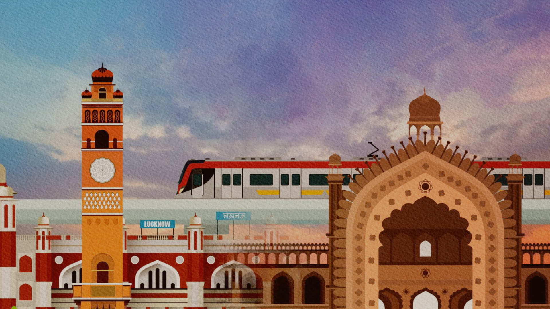
Transportation and Mobility: Mobility is a real challenge for Indian cities. Living Digital Twins can enable cities to create a real-time, dynamic virtual model of roads, public transport, pedestrians, and freight movement, by integrating traffic sensors, GPS data, public transport systems, and geospatial analysis. They allow planners to simulate interventions such as signal optimization, new flyovers, and public transport reforms before implementation. This supports data-driven mobility planning, congestion reduction, improved safety, and a transition towards sustainable and inclusive urban transport systems. Virtual testing of transport policies before on-ground implementation reduces costs and enhances public acceptance.

Climate Resilience and Disaster Management: Indian cities are increasingly vulnerable to floods, air pollution, heatwaves, and extreme weather events. Living Digital Twins can play an enabling role in predicting floods and the development of mitigation strategies. They help in visualizing water flow, testing mitigation strategies, optimizing emergency response, and supporting infrastructure. Living Digital Twins integrate terrain models, drainage networks, weather forecasts, and environmental sensor data to strengthen climate resilience. 

Applications include:

  • Urban flood modelling and early warning systems
  • Heat island mapping and mitigation planning
  • Air pollution monitoring
  • Emergency response and evacuation planning
  • Fire susceptible zones and evacuation planning

Governance and Citizen Engagement: Integrated Command and Control Centres (ICCCs) are the nerve centers of smart cities. Living Digital Twins provide a live, spatially accurate 2D/3D city view by integrating feeds from traffic systems, utilities, sensors, drones, and GIS, giving ICCC instant context and not just alerts. Living Digital Twins significantly enhance ICCC capabilities by providing spatial context, predictive analytics, and scenario visualization driven by live feeds. 

Digital Twins with live data inputs on GIS platforms help in taking effective decisions in ICCC, related to public safety, mission monitoring, crowd management in public events and large gatherings, analyzing vulnerable areas in the city, and taking appropriate decisions. GIS platforms enable all sensors to integrate into a single digital twin, rather than operate in silos with a lack of coordination in decision-making.

They enhance interdepartmental coordination, improve transparency, and citizen engagement through visualization and scenario-based decision support. Citizens can better understand urban projects and policies when they are visualized on a city-scale digital twin. Visualization through the digital twin improves briefing quality for leadership and builds citizen trust through clear, explainable decisions.

Safety and Security: Living Digital Twins support crime pattern analysis, hot spot mapping, crowd monitoring, and event security planning. By integrating camera feeds, traffic data, emergency response systems, and geospatial intelligence, they enable early detection of threats, predictive analysis, and faster multi-agency coordination, improving preparedness, response time, and citizen safety. Overall, Living Digital Twins shift urban safety systems from reactive response to predictive, coordinated, and resilient city security management.

ArcGIS for Digital Twins

A digital twin brings together many adjacent yet distinct worlds. Central to a Living Digital Twin is the 3D System, which provides clarity, new perspectives, and connectivity to foster sustainable workflows for complex and evolving challenges. ArcGIS empowers organizations to adopt and mature digital twin technologies by integrating real-time sensor data, AI/ML, and advanced analytics. It enables dynamic virtual models that are descriptive, informative, predictive, and autonomous—supporting scenario-based simulations, remote inspections, and adaptive decision making. With 2D/3D visualizations and IoT integration, ArcGIS transforms physical assets into intelligent, connected systems for enhanced operational efficiency. ArcGIS-based digital twins enable remote inspections and adaptive operations, helping organizations transition from static representations to intelligent, self-learning systems. This comprehensive approach empowers city administrators to optimize performance, enhance situational awareness, and drive smarter, data-driven decisions.

Way Forward

Living Digital Twins represent the next evolution of urban development in India —from reactive monitoring to predictive and adaptive urban management. With the enabling framework of the National Geospatial Policy 2022, Indian cities have a unique opportunity to institutionalize Living Digital Twins as core digital public infrastructure. To realize this potential, cities must focus on data governance, capacity building, interoperability standards, and sustained public-private collaboration. When implemented strategically, Living Digital Twins can become a cornerstone of resilient, inclusive, and future-ready urban development in India.


To download the PDF version of this article, click the button below.