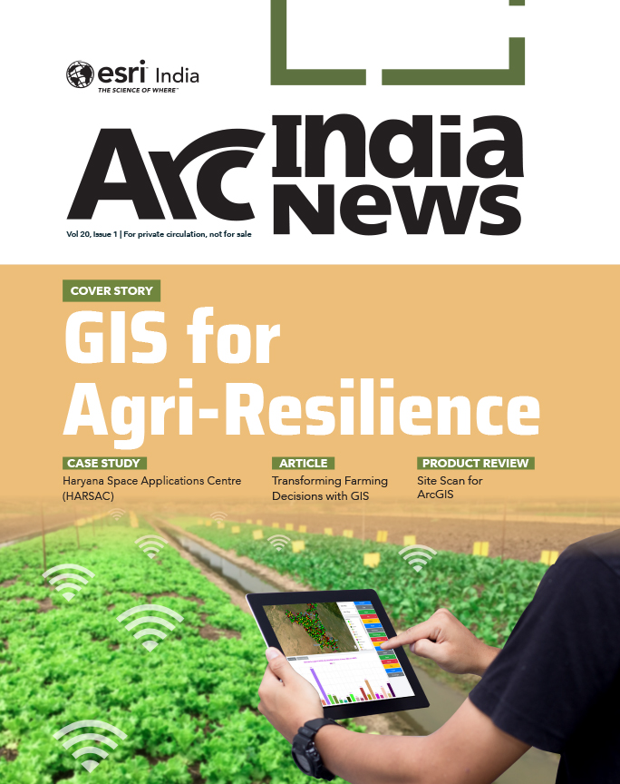
reasearch paper banner image

CUSTOMER SPEAK

From Forecast to Action: IMD Integrating GIS for Climate Resilience

IMD is primarily tasked with weather forecasting and associated services across multiple sectors, including power, insurance, and transportation. Over time, the demand for highly localized and time specific weather data has propelled the adoption and evolution of GIS technologies within the department.

Rahul Saxena, Head of the Hydrology Division at the India Meteorological Department (IMD), provides an insightful overview of how Geographic Information Systems (GIS), particularly ArcGIS, have become integral to modern weather forecasting and hydrological services in India.

What is the core mandate of IMD?

The India Meteorological Department is one of the organizations under the Ministry of Earth Sciences. It is the principal government agency for all weather and climate related services in India. The core mandate of IMD is weather forecasting and all activities related to it. IMD offers services to various sectors, such as power, insurance, and transportation. 
 

How is GIS helping you in weather forecasting?

GIS is inherent to the work that we do on a day-to-day basis. We generate a huge amount of geospatial data, whether it is radar data, satellite data, or model observations. Lately, people have been demanding very location-specific forecasts, and once we say location-specific, it has to be nothing but GIS. Earlier, a very generic type of weather forecasting was given, but now, with the application of GIS, weather forecasting has become very location and time-specific. GIS enables the integration of different weather - related data layers. By analysing this spatial data, meteorologists can identify areas at higher risk of extreme weather events, allowing for targeted early warnings and response plans.
 

In what ways are you specifically using Esri’s technology?

The hydrology division uses both enterprise and desktop versions of Esri’s tools. Esri India has developed many applications for us. For instance, our customized Rainfall Information System is based on Esri’s technology. As we evolve, we are exploring new capabilities of the technology to achieve more effective outcomes.
 

How has your experience been working with Esri India?

The working experience has been excellent. The association is almost fifteen years old. I know almost half of Esri India’s technical team, and I absolutely love the support that they provide. I can call them anytime; it’s not a typical Monday- to-Friday sort of support system. It goes beyond that. We are also happy with the capacity-building support that Esri India provides.


To download the PDF version of this article, click the button below.

Read More Articles

  • GIS for Agri-Resilience

    GIS for Agri-Resilience

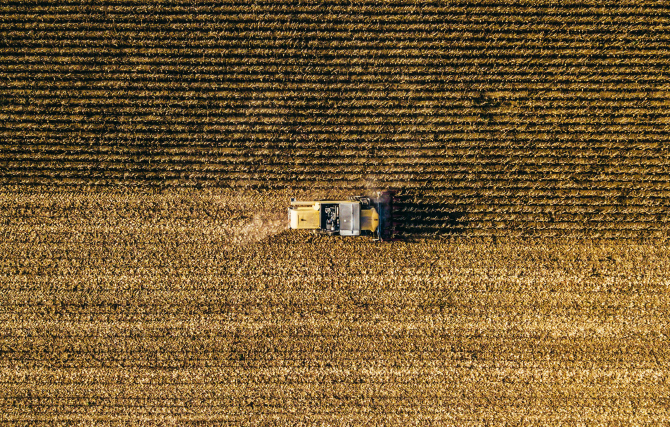
    India is one of the major players in the agriculture sector worldwide, and it is the primary source of livelihood for ~45% of the country’s population. The sector plays a major role in supporting livelihoods and ensuring food security for millions.

  • HARSAC Harvests Success: Groundbreaking  Agri Reforms Mapped with ArcGIS

    HARSAC Harvests Success: Groundbreaking Agri Reforms Mapped with ArcGIS

    Haryana Space Applications Centre (HARSAC) has developed and deployed a Geospatial Technology-based Crop Management Solution to address challenges in agricultural management.

  • GIS in education

    Technology-enabled Agriculture Education: UAS, Raichur

    The mission of the University of Agricultural Sciences (UAS), Raichur is to generate quality human resources in the area of agriculture and allied disciplines, generate cutting-edge competitive technologies.

  • Enabling Suez to Achieve Optimum Efficiency in Water Projects

    Enabling Suez to Achieve Optimum Efficiency in Water Projects

    Suez Group has been active in the Indian water and wastewater market since 1978 and established an Indian subsidiary in 1986. Suez uses Esri products to enable comprehensive study and planning through GIS mapping, field surveys, and door-to-door surveys.

Previous
Next