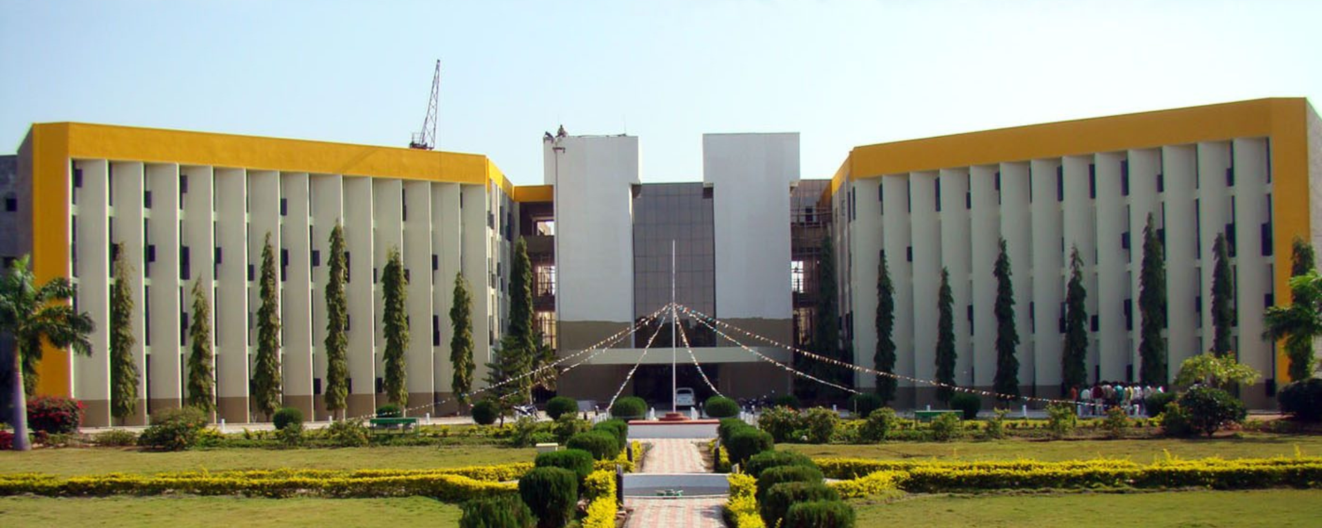
University of Agricultural Sciences, Raichur image

GIS IN EDUCATION

Scaling up Technology-enabled Agriculture Education: The University of Agricultural Sciences, Raichur

Introduction

The mission of the University of Agricultural Sciences (UAS), Raichur is to generate quality human resources in the area of agriculture and allied disciplines, generate cutting-edge competitive technologies, and evolve efficient disseminating mechanisms so as to serve the farming community of the State and the country.

Elevating the Standard

Through a conversation with Dr. Rajesh N L, Assistant Professor, UAS Raichur, Head, Geospatial Technological Applications Centre, UAS Campus, Raichur, and Director, KRSAC (Additional Charge), let’s explore how UAS is taking concrete steps towards building a strong, technology-savvy agricultural workforce for the country.

Dr. Rajesh N L, Assistant Professor, UAS Raichur image

How does GIS aid in addressing challenges in agriculture management?

Geographic Information Systems (GIS) play a crucial role in addressing challenges in agriculture management by enabling farmers and agricultural experts to analyze, manage, and visualize spatial data effectively. GIS allows for collecting and integrating various types of data, such as soil properties, crop health, weather patterns, and land use, which can be analyzed to make informed decisions. For instance, precision maps help identify areas within a field that require specific inputs like water, fertilizer, or pesticides, thus optimizing resource usage and reducing waste. Prediction maps help to detect early signs of diseases or pests, which can lead to timely interventions. Furthermore, GIS aids in land use planning and crop rotation using detailed maps of soil types, topography, and climate conditions, enabling better decision-making for sustainable land management.

Overall, GIS enhances productivity, reduces costs, and promotes sustainability in agriculture by providing insights that improve decision-making and resource management. Further, geospatial technologies help to develop and adopt market-driven agriculture through the convergence of location-specific farmer’s information, government schemes, supply & demand chains, best management practices, and resource availability, for sustainable food production and security.
 

What’s your take on the availability of enough skilled workforce to use various geospatial technologies in agriculture?

The availability of a skilled workforce to effectively use geospatial technologies in agriculture remains a significant challenge. While geospatial technologies like GIS and remote sensing are increasingly adopted in agricultural practices, there is often a gap in the number of professionals who are adequately trained to use these advanced tools for spatial analysis. 

Additionally, there is a shortage of GIS hands-on specialized education programs and training opportunities that focus on geospatial applications in agriculture. However, this gap is gradually being addressed through initiatives by universities like ours and technology companies offering specialized courses and certifications. Despite these efforts, more investment in education and training is essential to ensure that the workforce is equipped with the necessary skills to maximize the benefits of geospatial technologies. Bridging this skills gap is key to ensuring the continued growth and efficiency of modern agricultural practices.


What role is your university playing in minimizing this workforce availability gap?

Our university is actively working to minimize the workforce availability gap by offering a range of programs and initiatives designed to align GIS education with industry needs. Our UG & PG courses in various streams viz., Soil Science, Agronomy, Soil Water Engineering are specially designed to equip students with the latest GIS knowledge and skills. Through the development of specialized degree programs, internships, and partnerships with the industry, the university ensures that students gain the necessary skills and practical experience to meet the demands of the industry. 

By fostering a collaborative environment between academia and industry, the university is helping to bridge the gap between the skills students acquire and the specific needs of the GIS industry, ensuring that graduates are well-prepared to contribute to the workforce.


What are the futuristic technologies for agriculture in India?

Futuristic technologies for agriculture in India are poised to revolutionize the sector, enhancing productivity, sustainability, and efficiency. Spatial analytics driven by Internet of Things (IoT) sensors, drones, and satellite imagery, enables farmers to monitor soil health, moisture levels, and crop conditions in real-time, allowing for data-driven decision-making. Artificial Intelligence (AI) and machine learning are being used to predict weather patterns, optimize irrigation schedules, and detect crop diseases early, minimizing losses. Additionally, automation technologies, including robotic harvesters and automated irrigation systems, are reducing labor costs and improving operational efficiency. These technologies, when integrated, promise to boost agricultural productivity, improve sustainability, and help India address the challenges of food security and climate change in the coming decades.


How is Esri India helping you to impart GIS/geospatial skills to your students?

The University of Agricultural Sciences is a renowned institution dedicated to advancing education in agriculture management. We have established a ‘Geospatial Technological Applications Centre for Agricultural Input and Land Health Management’ to strengthen capacity building in this field and to carry out relevant projects. Esri India, which is a leader in GIS technology, through their training programs, is equipping our students with the latest methodologies, tools, and techniques. Given the rapid evolution of GIS technology, such initiatives are critical to meet the growing demand for up-to-date knowledge and skills. Additionally, a collaborative effort to establish a Center for Excellence could serve as a hub for research, knowledge creation, workshops, faculty development programs, conferences, and disseminating valuable insights, further enhancing the connection between academia and industry.


What’s the way forward for the University of Agricultural Sciences?

The University of Agricultural Sciences is committed to upgrading its curriculum and providing students with the latest skills and knowledge in agriculture management, and for this purpose aims to incorporate emerging trends and technologies in the curriculum that are shaping the industry. One key approach is to introduce courses that focus on modern agricultural technologies, such as precision farming, data analytics, AI, drones, remote sensing, and the Internet of Things (IoT). These tools are transforming farming practices and should be integrated into practical learning experiences to ensure students can apply them effectively. Strong industry partnerships and internship opportunities are crucial in ensuring that academic learning aligns with real-world needs. These partnerships provide students with exposure to agricultural operations, agribusinesses, and policy development, allowing them to apply classroom knowledge in practical settings. 


To download the PDF version of this article, click the button below.

Download PDF
  • GIS for Agri-Resilience

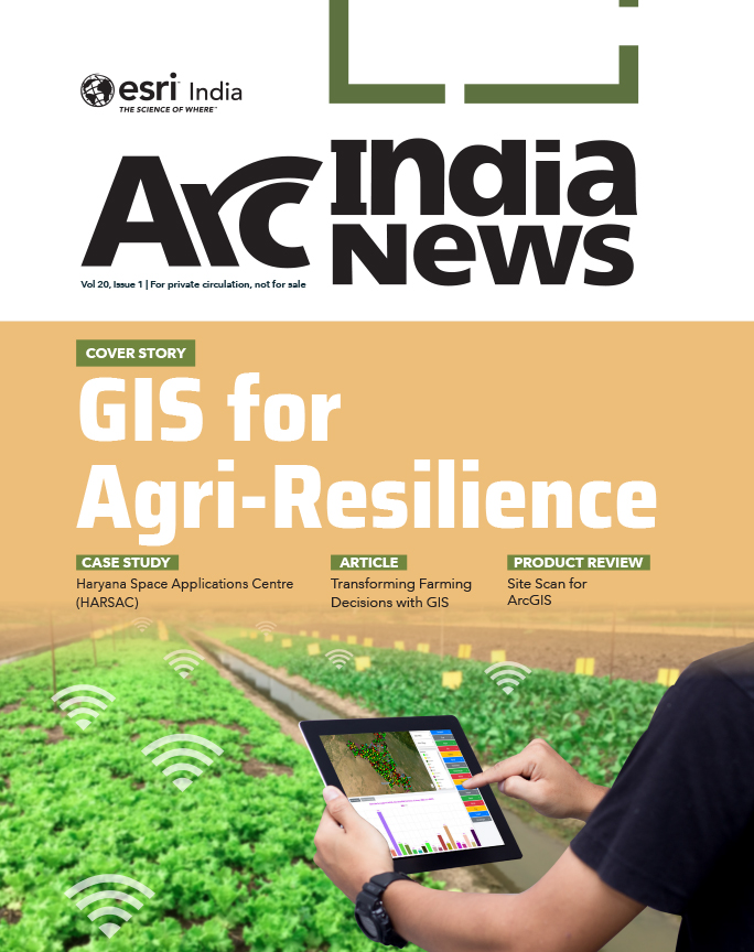
    GIS for Agri-Resilience

    India is one of the major players in the agriculture sector worldwide, and it is the primary source of livelihood for ~45% of the country’s population. The sector plays a major role in supporting livelihoods and ensuring food security for millions.

  • HARSAC Harvests Success: Groundbreaking  Agri Reforms Mapped with ArcGIS

    HARSAC Harvests Success: Groundbreaking Agri Reforms Mapped with ArcGIS

    Haryana Space Applications Centre (HARSAC) has developed and deployed a Geospatial Technology-based Crop Management Solution to address challenges in agricultural management.

  • GIS in education

    Elevating the Standards of Professional Education in GIS

    In the heart of Rajasthan, R-CAT (Rajasthan Centre of Advanced Technology) emerges as a beacon of innovation and knowledge. Established by the Government of Rajasthan, it’s not just an institute- it’s a gateway to the future.

  • Enabling Suez to Achieve Optimum Efficiency in Water Projects

    Enabling Suez to Achieve Optimum Efficiency in Water Projects

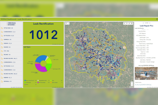
    Suez Group has been active in the Indian water and wastewater market since 1978 and established an Indian subsidiary in 1986. Suez uses Esri products to enable comprehensive study and planning through GIS mapping, field surveys, and door-to-door surveys.

Previous
Next