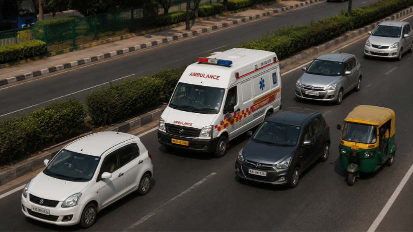

Public Safety |
Esri India Marketing|
July 28, 2026
Most Recent
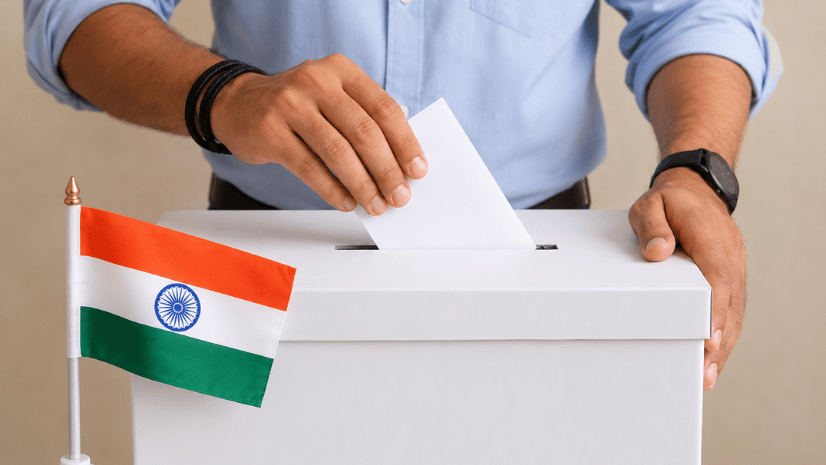
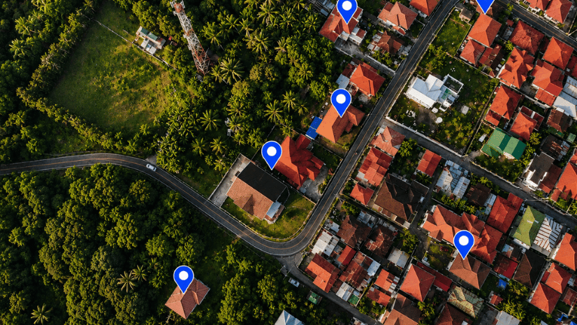
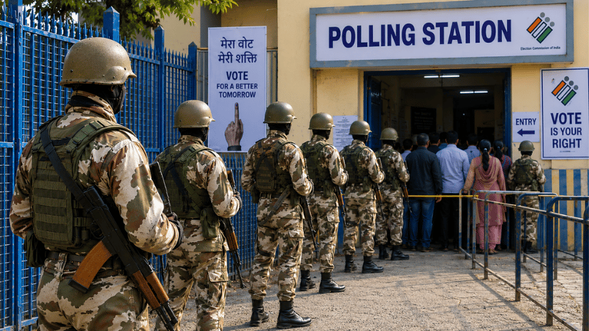
GIS for Election Security and Sensitive Booth Identification in India
See how GIS supports election vulnerability mapping in India, from identifying sensitive booths to planning security deployment on polling day.