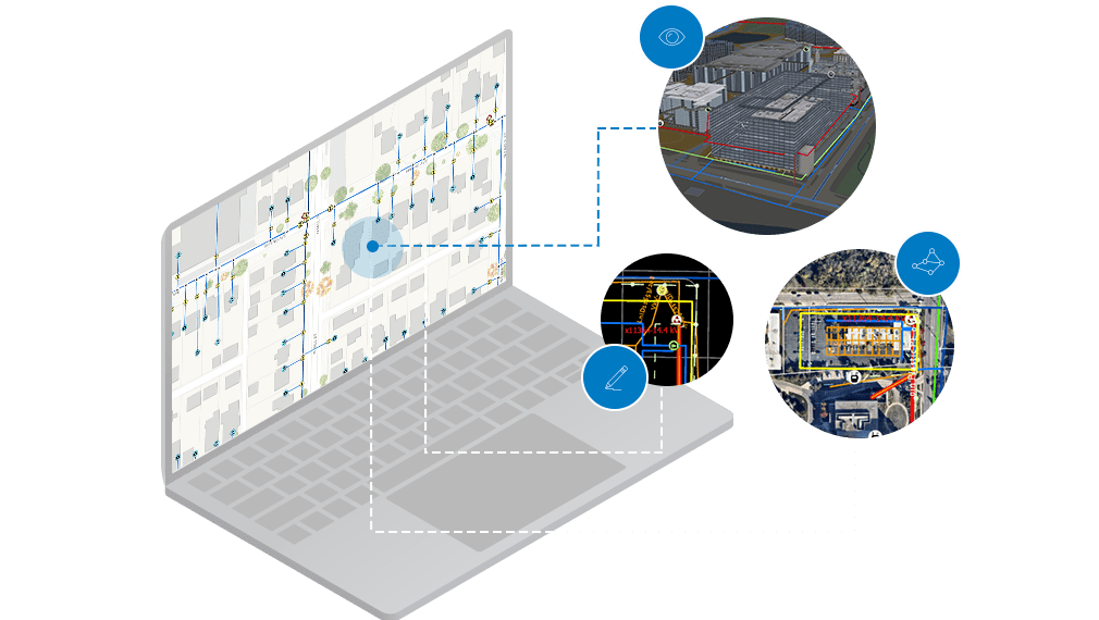
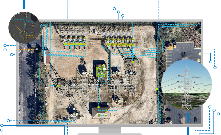
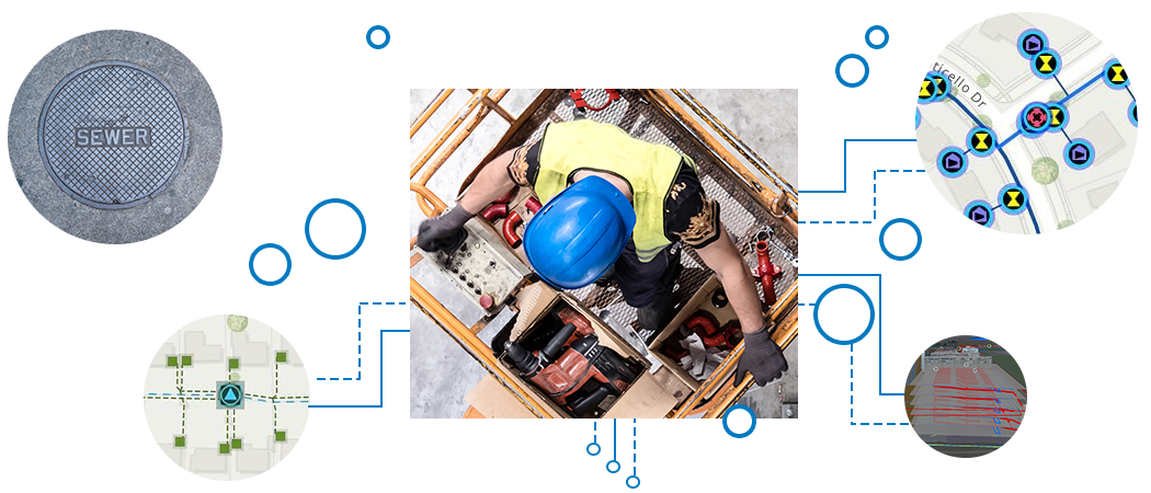
Skip to Content
ArcGIS Utility Network

ArcGIS Utility Network

Network management for utilities

Today's utilities need actionable information to support complex networks. No matter your industry, utilities need to provide a safe working environment, deliver reliable service, and maintain a focus on customer support. ArcGIS Utility Network is designed to be the next generation spatial information system to provide greater functionality over massive datasets at every scale of resolution. Now, utilities can leverage the power of the entire ArcGIS Enterprise to provide tools with a focus on the user experience and improve communication across your organization.

Extend your utility enterprise

Previous
Next

How it works

Visualize

Create network views using maps, diagrams, and internals. Visualize resources temporally and in 3d for user solutions across the ArcGIS platform.

Analyze

Use analysis and tracing tools to perform a large variety of analytic workflows.

Edit

Streamline your editing workflows to get the most out of your utility network.

Industry

Electric

Maintain and track your work crews with the complete spatial information system for utilities. Upgrade your grid with safety in mind.

Learn more

Integrated with ArcGIS

ArcGIS Utility Network integrates with the ArcGIS platform and connects to all your ArcGIS data as well as data from other sources.

ArcGIS Pro

ArcGIS Pro

ArcGIS Pro, the next generation desktop GIS technology, powers your everyday work with the utility network service. Visualize, analyze, and edit your network, and more.

Learn more
ArcGIS Enterprise

ArcGIS Enterprise

Extend your utility network management solution with ArcGIS Enterprise, the industry-leading geospatial platform.

Learn more

Get in touch with us

Product Information

Get answers for your product, industry or technical inquiries

Request Product Information

Contact Us

Share your details with us

Contact Esri India

Give us a call

Talk over the phone

1800-102-1918